Unsettled Weather Continues for The Rest of This Week

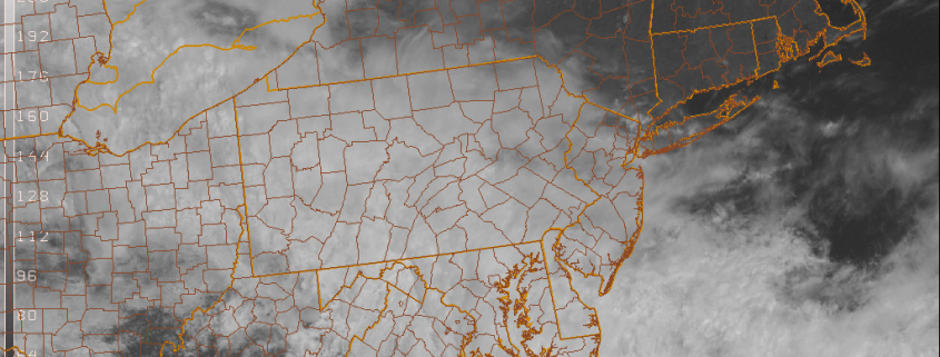
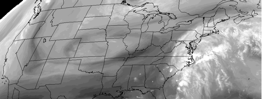
A broad wave of low pressure, along a frontal boundary to the south, has caused rain to fall moderately at times overnight and early this morning. Steady rain is now tapering off to more showers , as this storm system consolidates farther offshore. Skies will continue to remain mostly cloudy this afternoon.  Some more widely scattered showers and areas of fog or drizzle are possible, with a couple more weak disturbances and the right-entrance region of upper-level jet streak coming behind this initial low pressure. Clouds and an onshore flow will keep temperatures from rising much today and dropping much tonight — staying in the upper 50’s.

Read more

Sunday Update: Rain Likely to Impact Mets Game This Afternoon

Periods of rain will continue this afternoon, ahead low pressure and a warm front approaching from south and west. Rain might become lighter or intermittent for few hours this afternoon. Before picking up intensity again later this afternoon with a secondary wave of low pressure developing south of Long Island. It might be possible for the Mets vs Giants game to play today, if satisfactory field conditions can be maintained. But chance for a delay are 75% and chance for postponement is 50%. Temperatures will likely remain middle to upper 40s to near 50 for much of the day with onshore winds and overcast skies. Stay tuned for SportsCast page for more updates.

Read more

SportsCast: Rain Could Impact Mets vs Giants Games Tonight and Sunday

Attention Mets fans! We have a bit of bad timing with an upper-level disturbance moving through that could cause some rain for the Mets vs Giants Game at Citifield tonight at 7:05pm. We suggest you take an umbrella and jacket for the game. Since rainfall looks mostly on the light side, we think they will probably get the game in, but there might be a delay. Stay tuned for updates on our SportsCast page throughout the day.

Read more

Cool & Unsettled Weather into This Weekend

While we ponder over today a stunning new report on the Blizzard of 2016, we’re also looking at the weather over the next few days.  It appears that we are entering a cooler and unsettled pattern going into this weekend and beyond. Although we are not looking at any complete washouts yet–at least through Saturday.

For the rest of this afternoon, sunshine will gradually fade behind increasing and thickening clouds. This happens as a wave of low pressure moving east over the Mid-Atlantic region causes the frontal boundary lift northward.  Strong confluence underneath an upper-level low over Southeast Canada will keep this frontal boundary south of the region. But some showers will spread north over parts the region later today and early tonight. Generally, light rainfall amounts are anticipated. Temperatures should reach the upper 50s to lower 60s for highs this afternoon.

Read more