Morning Overview: Strong storms possible this evening

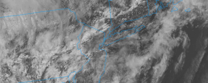
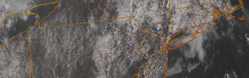
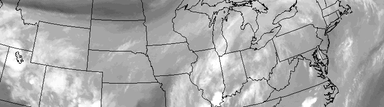
An approaching mid level disturbance will aid in the development of a low pressure system today, which will track from Pennsylvania to Southeast New York during the afternoon hours. Southeasterly winds at the surface will help to advect in warmer, more moist and unstable air during the afternoon hours. Near the coast, this low level wind flow will bring in a marine layer that will keep the air more stable. So, naturally, as the disturbance approaches the best chance for severe weather will be away from the coast and west of New York City. In those areas, from Pennsylvania to New Jersey, strong to severe thunderstorms will be possible. We’ve included some details and information below, but stay tuned for an updated article later today if any watches or warnings are issued:

  • A Slight Risk of severe weather today from the Storm Prediction Center for much of Pennsylvania, Western New Jersey and the Mid Atlantic States. A risk of strong winds and isolated tornadoes exists in those areas.
  • Hot and humid once again today. Highs approach the upper 80’s after a cloudy start. Southerly winds will draw in a more moist and humid airmass, with more clouds along the coast and near the area beaches and local waters.
  • A disturbance approaching the area will bring the potential for strong to severe thunderstorms, mainly west of New York City. These storms will be capable of producing strong winds, lightning, flooding rains and possibly an isolated tornado.
  • A period of heavy rain is likely during the evening hours, even in New York City and near the coast. As the storms weaken and spread east, localized flooding will be possible with heavy rains.
  • Much nicer conditions are expected for Friday and into the weekend, as high pressure settles in. Temperatures will remain warm with plenty of sun and a very minimal chance of any precipitation.

Afternoon Roundup: Threat of storms stays in the forecast

A warm, humid, and moist airmass remains in place today ahead of a cold frontal boundary. Clouds have inhibited the development of widespread atmospheric instability, but enough has developed to suggest that some storms this afternoon could be strong. Weak shear in the mid and low levels of the atmosphere will keep storms somewhat unorganized, and moving slowly. So given the moisture content in the atmosphere, these storms could be capable of producing localized flooding in very rain. These storms will eventually slip to the east/northeast of our area tonight as the frontal boundary slips east as well. Here’s a roundup of news and information from the meteorology:

  • Strong thunderstorms and periods of heavy rain will again be possible later on Thursday. A stronger atmospheric disturbance approaching the area could force the development of storms with greater coverage and intensity than the past few days. Models, however, continue to waffle back and forth with this feature’s exact track.
  • Much more pleasant weather is expected for the weekend. A high pressure will build southward and keep the very moist and humid airmass to our south. Highs in the 80’s with sunshine are expected with only minimal chances of showers and storms.

Read more

Afternoon roundup: More humid, still unsettled

Rounds of clouds associated with increasing low level moisture surged into the area today, and they have broken up in coverage a bit this afternoon as daytime heating has increased. This daytime heating is, however, a bit of a blessing in disguise. Increasing atmospheric instability as a result of more sunshine will help to touch off additional storms this afternoon within a very moist environment. These showers and storms aren’t expected to be severe, but they could bring a period of unsettled weather to parts of New Jersey and New York City. These storms will eventually slip east/northeast of our area tonight, with some clearing expected. The unsettled weather will continue as a frontal boundary approaches the area Wednesday morning. Here’s a roundup of news and information from the meteorological community today:

  • Unsettled weather will continue in our area, with a round of showers and storms this afternoon. They aren’t expected to be severe, with the Storm Prediction Center only indicating a chance of general thunder and no organized strong or severe storms. Still, a period of heavy rain and possibly a few lightning strikes are possible as they move through.
  • Forecast models are fluctuating with the potential for a more organized area of showers and storms on Thursday Night and Friday morning. If it does move through, a period of steady or heavy rain would be possible. Some models bring it through our area, others track the system farther south.
  • Unsettled weather will finally depart for the weekend. Models are in good agreement that a high pressure system will build in, with highs in the upper 80’s and partly cloudy conditions. Lower humidity a calmer conditions aloft will limit the chance for showers and storms.

Warmer, muggier to start the week

Regardless of clouds and isolated showers, this weekend ended up being quite pleasant. The sun was out slightly more than anticipated, and heavy/steady rain generally stayed away from the area. So did the big time heat and humidity, and unfortunately the latter will return to the forecast during this week. Humidity values have already noticeably increased as of Monday afternoon, and rising temperatures will make the air feel uncomfortable this afternoon. Scattered showers and storms will be around, but won’t be widespread.

These showers and storms, a function of a transient mid level atmospheric disturbance, will essentially hang around in the forecast for most of the week. While temperatures won’t be “hot” by any means (they’ll top out in the 80’s for the most part), the general airmass will feel uncomfortable and the weather will remain unsettled. Scattered showers and storms will be possible each afternoon within the humid and slightly unstable airmass in place.

Read more