Frost and freeze conditions tonight, unsettled next week

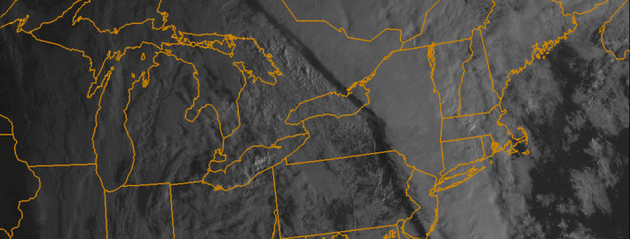
After a beautiful Saturday, a cold front charged through the region on Saturday night, leading to much colder temperatures last night and today. The airmass has that true fall/early winter “crisp” feel, as it is very cool and dry. The dry conditions along with clear skies and light winds tonight will allow temperatures to continue to plummet. Because of this, the National Weather Service has issued Frost Advisories and Freeze Warnings for much of the area. Low temperatures will be in the upper 20s to low and mid 30s for much of the region. Closer to the city, however, temperatures will remain in the upper 30s, due to the Urban Heat Island effect. Make sure to bundle up tonight and tomorrow morning!

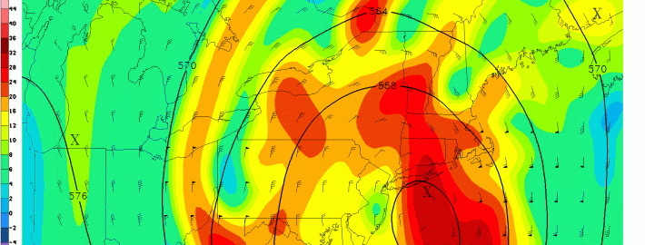
Temperatures will rebound relatively nicely tomorrow, reaching the upper 50s to around 60 — about five degrees below average. Skies will also be mostly sunny, so tomorrow looks to be the “good” day of the week, as conditions will gradually become unsettled starting on Monday night.

Read more

Forecast: Clearing, cooler behind cold front

A warm, humid airmass surged into the region late on Wednesday ahead of a cold front. As expected, low level moisture moving north aided in the development of heavy rain overnight as lift for precipitation moved through our area. Rainfall totals were moderately high in many locations, but we were able to avoid widespread flooding due to the relatively progressive nature of the system. As the mid level disturbance moved northeastward, drier air moved through  much of New Jersey and toward New York City this morning bringing an end to the steady rain.

On the periphery of this mid level disturbance is a cold front, which will push through the remainder of the area this morning after some additional rains fall on Long Island and Connecticut. Gone will be the southerly winds, and making a return will be drier, westerly winds this afternoon. Mid level temperatures, meanwhile, won’t exactly fall off the table until later tonight. So high temperatures today will still reach into the 70’s.

Read more

Heavy rain, thunderstorms likely tonight into Thursday

An approaching strong cold front, and associated mid and upper level disturbance, will bring heightened chances for rain into the area from tonight into Thursday morning. However, the event will be made more significant by a plume of moisture, surging northward along and ahead of the frontal boundary. Forecast models indicate a strengthening low level jet stream and transport of this moisture. Precipitable water values (the amount of water in the atmosphere) will be high — in the 95th percentile for October.

The moisture will begin surging northward later this afternoon and evening. Forecast models indicate the best lift for precipitation will remain to our west until the latter part of the afternoon. At that point, from west to east, chances for showers and thunderstorms will increase. Initially, downpours will be scattered. But over time tonight, the support for heavy rain will expand and moisture will continue surging northward. Rain will develop from southeast to northwest, with widespread heavy rain likely throughout the area overnight.

Read more

Tuesday roundup: Gonzalo, severe weather, heavy rain

The week began with clouds and drizzle, signaling the arrival of a warmer airmass which has been pushing northward from the Southeast and Mid Atlantic states. But the dreary and drizzly weather won’t take over the forecast on Tuesday. Southerly winds will push some drier air northward, helping to lift the low clouds and fog in place throughout the area. Warmer air will settle in by Tuesday afternoon, with highs reaching the mid 70’s. This will feel noticeably warmer than the past several days, especially considering the cooler than normal air and then drizzle/foggy weather which was in place.

The warmer weather won’t last long. An approaching storm system, currently bringing severe weather to the Central and Southeast United States, will shift northeastward toward our area later this week. With it will come a major cold front, and a surge of moisture aiding in the development of heavy rain and thunderstorms. Although forecast models are still a bit inconsistent, the general idea is that a period of heavy rain will race through the area on Thursday. Rainfall totals of 1-2″ could be widespread, with an onshore flow providing not only hazardous marine conditions but also some coastal flooding.

Read more