5.15 Midday Zones Update: Summer Warmth Midweek, Cooler Weekend

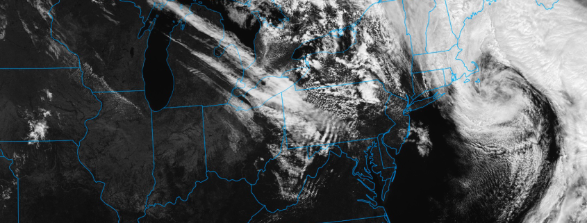
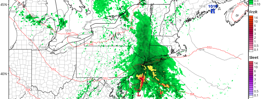
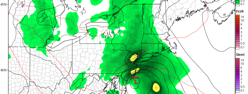
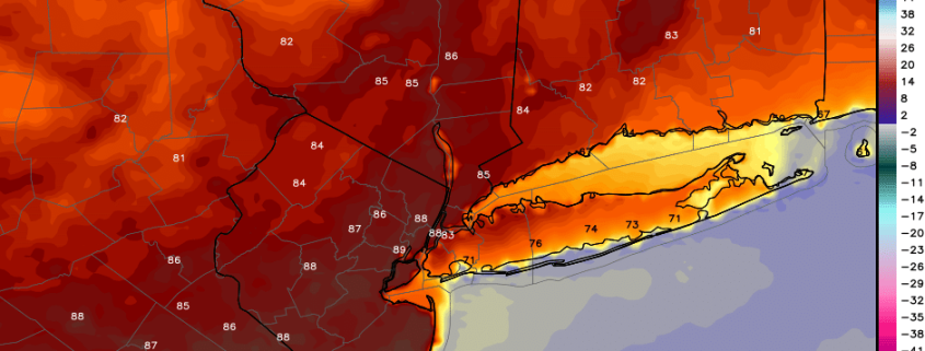
Happy Monday! Hope you had a lovely weekend! A coastal storm that impacted the region over the weekend, is still east of New England today. Clouds from this low are moving through parts of the region. As the storm slowly moves out further into the Atlantic, clouds will gradually clear for more sunshine. High temperatures this afternoon will be in mid-upper 60s. Overall it will a pretty decent day. But a tight pressure gradient behind this low will cause northwest winds to gust over 30-40mph, through this afternoon.

Read more

5.14 Zone Update: Storms today, warmup ahead this week

First and foremost, Happy Mothers Day to all of the mom’s out there — including our own — who we are so very grateful to have. After a damp and dreary day yesterday, the sun was a welcomed sight this morning throughout much of the region. A strong storm system is still developing off the New England coastal waters today, the same storm that impacted our region yesterday. Despite the system’s strengthening , drier air has temporarily surged into the Mid Atlantic and parts of the Northeast.

“Self-destructive sun” is one term  meteorologists have used to describe the setup which will unfold throughout the mentioned areas later today. As a second disturbance swings along the western side of the Nor’Easter, moisture will increase and colder temperatures will move into the region — aloft. As temperatures warm up at the surface, the atmosphere will become gradually more unstable throughout the region.

Read more

Public Analysis: Coastal storm Saturday, improving Mothers Day, warmup next week

Good evening! We hope you had a wonderful Friday and enjoyed the weather over the past few days. It’s about to go downhill. Clouds will increase this evening as a coastal storm, which has been discussed for several days, begins developing over the Delmarva. A few isolated showers or areas of drizzle may develop overnight as low-level moisture and lift gradually increases. But mainly dry conditions are expected to stay in control. Temperatures will drop into the upper 40s to lower 50s in most areas

Read more

5/11 AM Zones Update: Coastal Storm on Saturday, Warming Trend Next Week

Happy Thursday! Sunshine will be mixing with more clouds today, as disturbance passes to the south and west of the region. Some showers from this disturbance may move into far western and southern parts region today. But a confluence backside around the upper-level low over the Gulf of Maine should keep the rest of the region. High temperatures will be in the lower to middle 60s over most of the region with mostly light and variable today.

Read more