AM All Zones: Showers clearing for sunshine later today

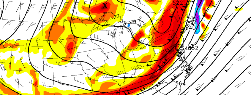
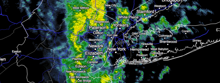
A weak atmospheric disturbance, moving towards the Northeast US from the Ohio Valley this morning, will continue to shift through the region as the morning goes on. Isolated to scattered showers have shifted through Pennsylvania, New Jersey, and New York and have become slightly more widespread this morning. Temperatures remain relatively mild as the system shifts through.

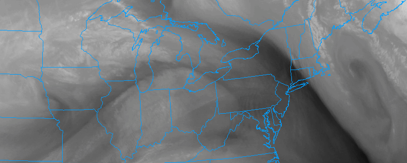
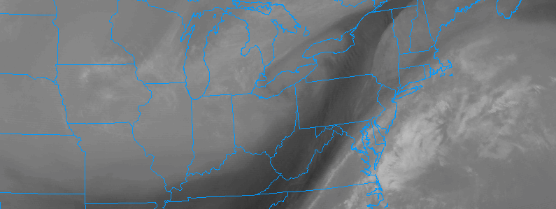
The showers will continue their northeast movement as the morning goes on. Drier air, visible on water vapor satellite imagery and local observations, will shift eastwards from Pennsylvania through the Northeast US later this morning as a frontal boundary moves eastwards. This will clear showers away from the region, with a drier atmosphere leading to more sunshine as the day goes on.

Read more

1/25/17 PM All Zones Update: Dry This Evening, Cold Front & Trough on Thursday

After beautiful day with plenty of sunshine and temperatures reaching the upper 40’s and lower 50’s, more clouds will begin to return this evening.  These clouds will thicken overnight but remain dry much of the night. This is well ahead of a cold front and mid-level shortwave approaching the region. Moisture remains limited overall with the approaching system — and any spotty rain showers are expected to hold off until well after midnight.

Read more

1/25 AM All Zones: Transitional pattern will continue

A large Nor’Easter which impacted the area over the past few days has finally begun to pull northeastward this morning, bringing moisture and associated unsettled weather with it. This comes as welcomed news to many after nearly three days of unsettled weather including rain, wind, wintry precipitation and coastal flooding. Improved weather is expected today as skies clear and the sun shows its face once again.

Temperatures are likely to average several degrees above normal this afternoon. Despite northwest winds in the storms wake, a modified airmass with Pacific air still exists across both the United States and parts of Canada. So the air being transported into the region is still warmer than normal in nature and not of arctic origin. Temperatures this afternoon will rise into the upper 40’s throughout the area, and possibly even the lower 50’s in some spots.

Read more

1/24 PM All Zones: Lingering rain, clearing late tonight

As expected, showers and periodic steady rain lingered throughout much of the area today. This was most prevalent in Northeast NJ, NYC, Long Island and Connecticut, where the bands of rain pivoted westwards from the Western Atlantic Ocean inland. The potential for rain will continue for a few more hours, likely into the early evening, as the surface low pressure meanders offshore.

Much of the banding is being enhanced by frontogenesis, or lift, in the atmosphere’s mid levels. Mid level low centers are still only a few hundred miles off the coasts of New Jersey and New York, and lingering dynamics and moisture are juxtaposed to support bands of rain moving inland. Over time, these dynamics will wane, especially during the early to middle part of the evening.

Read more