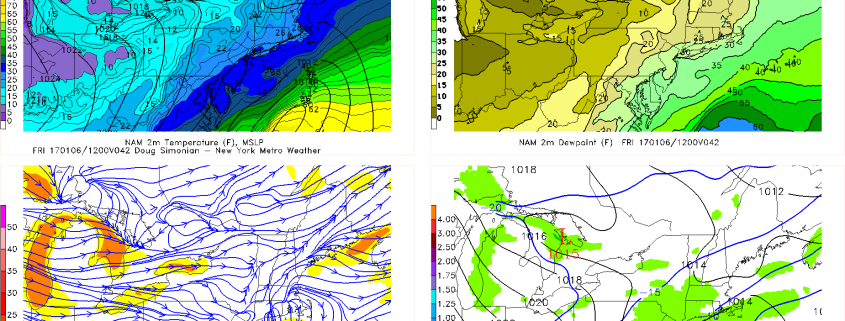
All Zone Forecast Update: Snow Becoming More Likely Friday Morning

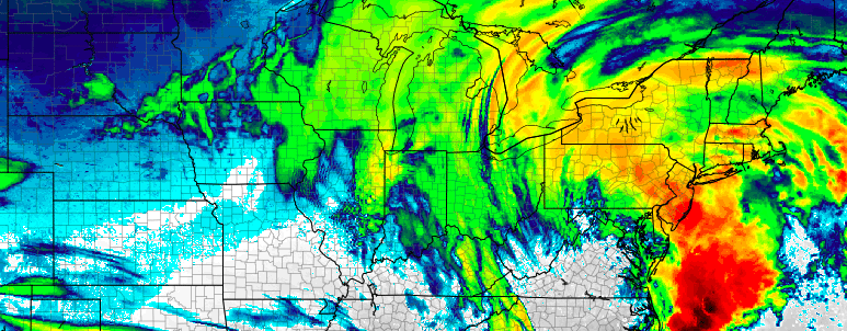
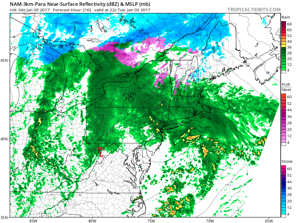
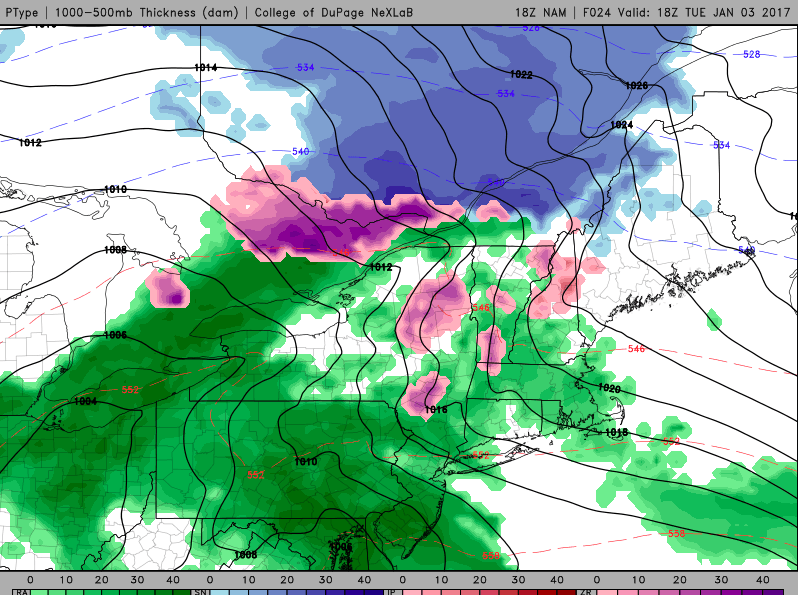
We are still very closely monitoring the two snow threats later this week and this weekend, and while there is some evidence that the second storm on Saturday may only be a graze or a miss out to sea altogether, the idea for snow on late Thursday night and Friday is gaining steam.

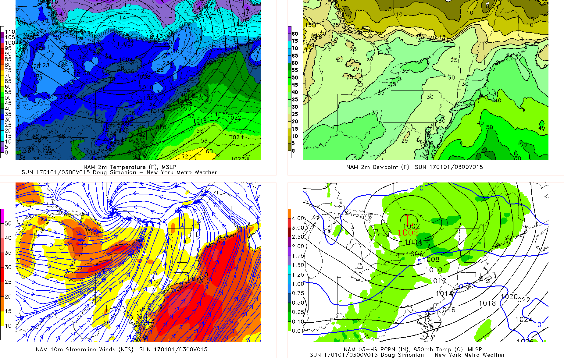
As far as the rest of this evening goes, we still have strong downsloping winds, which will keep temperatures mild initially. An Arctic frontal boundary is crossing the area and has provided a lot of dynamics as well as a decent pressure gradient, and this is expected to continue for the rest of this evening into the early part of the overnight. We have already had wind gusts up to 40mph at times this afternoon, so these are expected to continue through at least midnight but then gradually lessen after 3:00am. Still, though, even tomorrow we expect winds to stay around 15mph and gust between 25-30mph — so a relief from today but still breezy.

After 6:00pm this evening is when we expect the true temperature drop to take place, and overnight lows will be in the 20s for most of the area. The front will have fully crossed on Thursday, so despite still some downsloping winds, highs will only be in the low to mid 30s. Clouds will also be on the increase out ahead of the storm system for Thursday night into Friday.

Read more

AM All Zones Update: Rain likely this afternoon

Periods of steady rain will return to the forecast this morning and likely will be steady and heavy at times this afternoon. A strong storm system developing through the Northeast US will draw increasingly notably moisture northward today, and as a warm front moves through precipitation will become more prevalent throughout the area.

Beginning as showery, drizzly precipitation this morning, rainfall totals of around 0.10″ are likely through early afternoon. But a period of steadier rainfall associated with enhanced lift in the atmosphere could bring totals over 0.60″ for some areas by sunset tonight. A few isolated rumbles of thunder can’t be ruled out either.

NAM model showing periods of heavy rain in the Northeast this afternoon.

NAM model showing periods of heavy rain in the Northeast this afternoon.

The system shifts north of the area later tonight, after 8pm, with drying conditions expected as the evening goes on. Colder air will then begin surging into the area from the west. This arctic air will continue pushing into the region through Wednesday, with temperatures falling much below normal.

Stay tuned for more this morning on the development of wintry weather this weekend.

PM All Zone Update: Rain continues, heavy at times Tuesday

An approaching storm system will bring continued drizzle and showers through tonight — with periods of steady rainfall expected on Tuesday. The disturbance affecting our area tonight is quite weak, but moisture in the atmosphere’s low levels is creating drizzle and showers. These will continue on and off for the next few hours — but accumulation is expected to be light.

Temperatures will continue warming through the morning hours as southerly winds continue. This southerly flow will be drawing more moisture into the area ahead of the stronger storm system approaching on Tuesday. An area of steady to heavy rain is expected to move through the Mid Atlantic and Northeast from the late morning to early afternoon hours, producing rainfall totals between 0.35″ and 0.50″ during its passage.


Simulated radar imagery valid 1:00pm on Tuesday.

Simulated radar imagery valid 1:00pm on Tuesday.

These periods of steady rain are likely to continue during the afternoon, with the heaviest rain spreading north into the northern zones of Southeast NY and Connecticut during the mid afternoon hours. As a low pressure area shifts north of the area during the day, clearing will occur from southwest to northeast through the area.

Improving weather conditions are expected after sunset, as west-northwesterly winds begin ushering in a drier and colder airmass. Breezy conditions may develop by late afternoon as the frontal boundary moves past the area. Cold air will surge into the area by Wednesday with arctic air pushing south from Canada.


Test Blog for All Zones: Rain Tonight and Tomorrow Colder Late Week

Overview: A weak disturbance will bring some light precipitation to parts of the region during today. A larger storm system will impact the region with more rainfall and milder temperatures tonight and Tuesday. A cold front moving through by Wednesday will deliver much colder air later next week. We also watching storm system that could some snowfall to region on Friday. Especially over Southern NJ and Long Island.

Tonight: Mostly cloudy. 40% chance of rain showers. Lows in the upper 30s then temperatures rising late.

Tuesday, Mostly cloudy and much milder. Periods of rain likely. Highs in middle 50s.

Wednesday: Partly sunny and still very mild with highs in the middle 50s.

Thursday: Mostly sunny and colder. Highs in the middle 30s.

Friday: Mostly cloudy and very cold. Highs in the lower 30s.

Saturday: Mostly cloudy and very cold. A 30% chance of light snow. Highs in the upper 20s.

Sunday: Mostly cloudy with a 30% chance of light snow. Highs in the lower 30s.

Monday: Mostly sunny and cold with highs in the lower 30s.

Today's NAM valid for 10:00am tonight shows a low pressure passing to our northwest, which may trigger scattered light precipitation. There is also plenty of southwesterly flow as evidenced on the bottom left -- particularly for the coast.

Today’s NAM valid for 10:00am tonight shows a low pressure passing to our northwest, which may trigger scattered light precipitation. There is also plenty of southwesterly flow as evidenced on the bottom left — particularly for the coast.