-2")

Public Analysis: Above Normal Temperatures and Thunderstorm Threats Return for the Holiday Weekend
Good Evening!
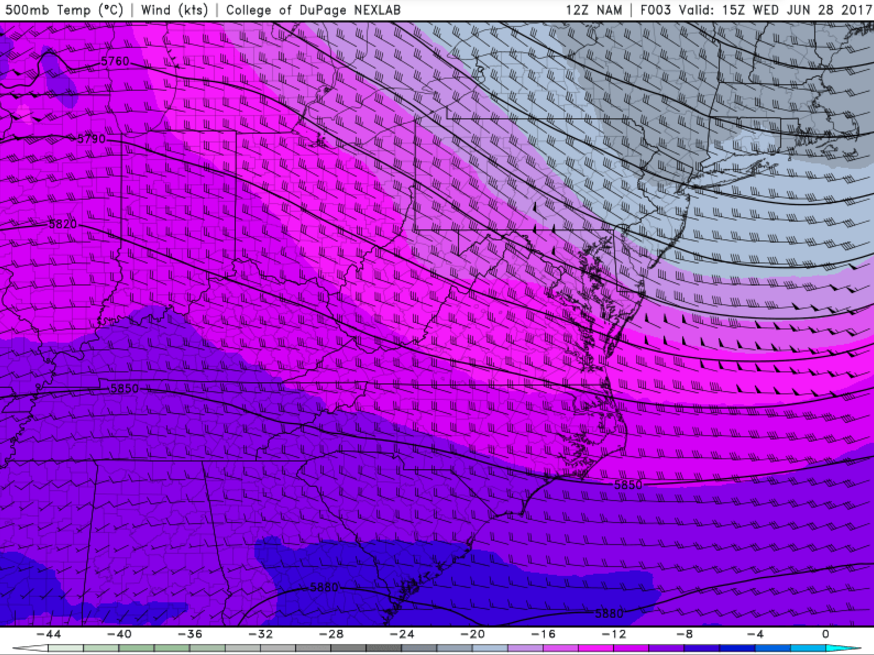
Today was yet another beautiful day across the Northeast due to a weak area of high pressure to our south bringing in low humidity, mild temperatures, and light southerly winds for the entire region. Highs today were generally limited to the low to upper 70’s across our area due to cooler temperatures aloft associated with a deep area of mid level toughing located just to our north. As we get deeper into the evening hours across the area, high altitude cirrus clouds should begin to move in from the west, signaling the beginning of another pattern change. With clear skies, low dewpoints, and light winds from the west, conditions will be near-perfect for radiational cooling to take place, so expect low tonight to fall into the middle 50’s to low 60’s across the area, with some locations well-removed from the coast possibly sinking into the low 50’s during the early morning hours.

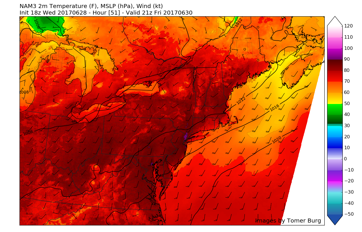
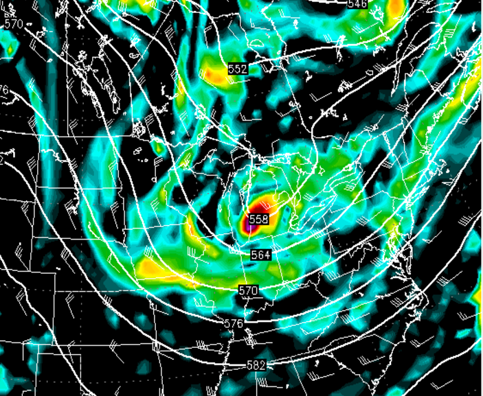
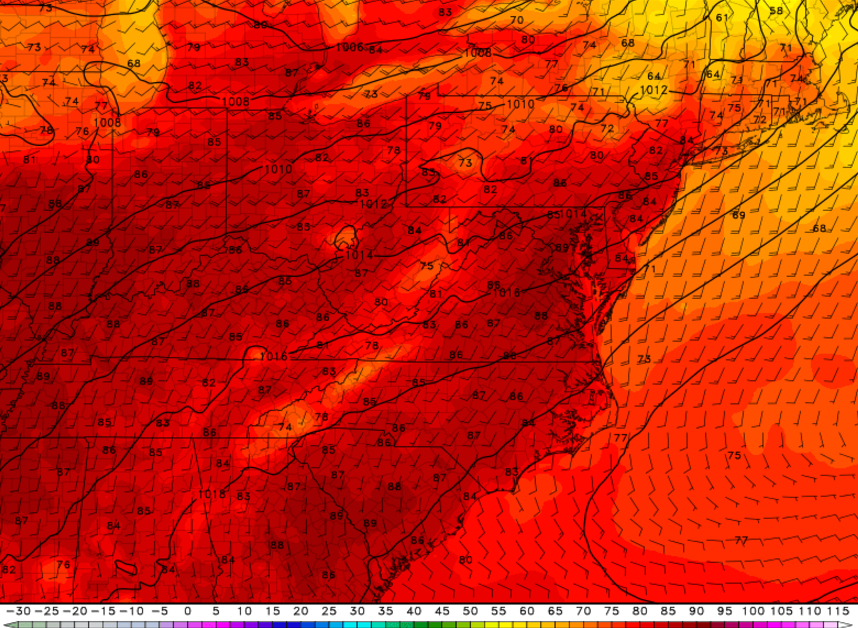
This afternoon/evenings latest high-resolution visible satellite imagery, surface observations, and regional radar mosaic, showing relatively calm and mild conditions for your Wednesday evening.
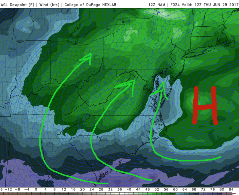
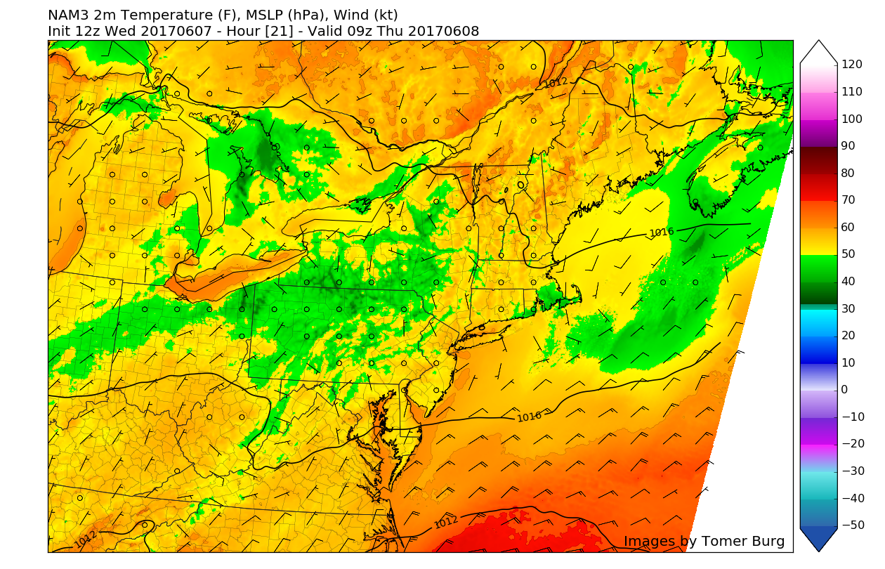
Thursday is looking more like a rather large step in the direction of above-average temperatures for the entire region as mid level ridging to our south and east begins to build northward over our area, especially during the afternoon hours. The same high pressure that provided the area with extremely comfortable weather over the past few days will begin to turn on us by directing winds from the south and southeast. This will lead to much higher dewpoints overtaking the tri-state area, which will lead to a muggier feel for tomorrow. In addition to the increasing humidity, rising heights will also allow mid level temperatures to rise significantly. The combination of warm mid level temperatures, a muggier airmass, and southerly winds will lead to high temperatures likely reaching all the way into the middle to upper 80’s tomorrow with some potions of Notheastern New Jersey and southern New York state likely seeing temps pass that 90-degree mark.
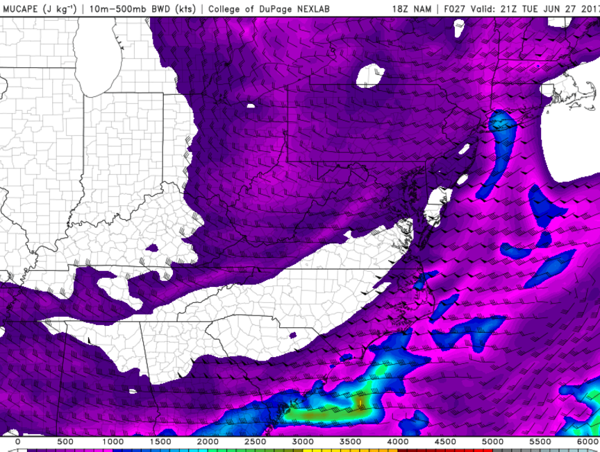
In lieu of all this warmer weather, a pretty tight pressure gradient will set up shop over the area as the aforementioned high pressure system begins to move off of the Mid-Atlantic Coast and an area of low pressure in the Great Lakes Region continues to gradually move north and east. This will likely increase winds to around 15-25 miles per hour, with gusts likely reaching into the 30-40 mph range during the day. Some isolated wind gusts will be capable of taking small twigs off of trees and blowing around lawn furniture. Additionally, this strong southerly flow may be able to limit just how warm south-facing shores of Long Island and Connecticut can get tomorrow if the winds kick in during the early afternoon hours as opposed to later in the day.
Later tomorrow evening, increasing mid level moisture as well as the enhanced southerly flow should create some increased cloudiness, with any chance at some showers limited to the far northern regions due to a total lack of forcing for any kind of thunderstorm development. Tomorrow evening will be quite warmer than Wednesday evening as temperatures are only likely into the middle to upper 60’s, with some 70 degree low temperatures possible in the more insulated locations.

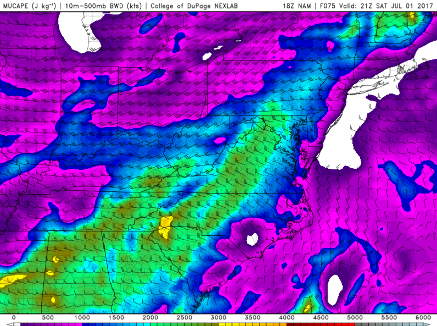
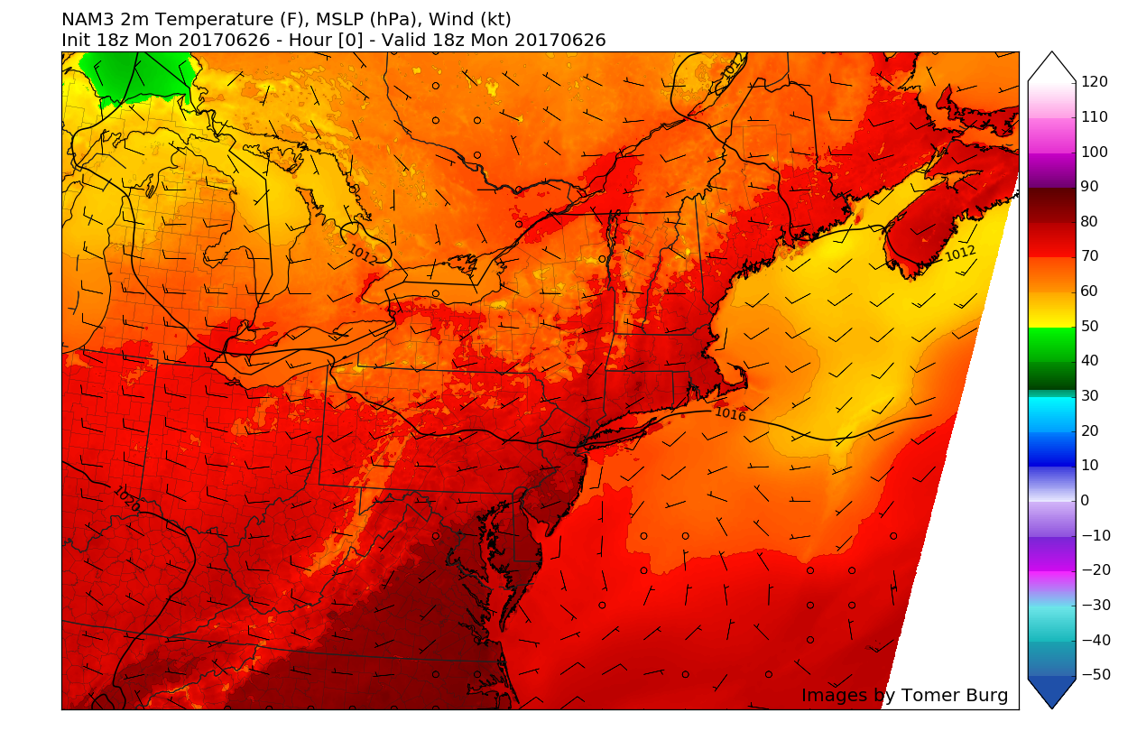
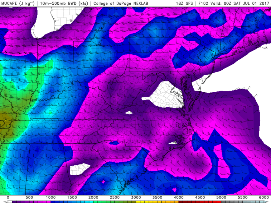
This evenings North American Model showing relatively high wind gusts tomorrow afternoon and into the evening hours due to an increasing pressure gradient overhead. Please refer to the NWS for any potential Wind Advisory’s tomorrow
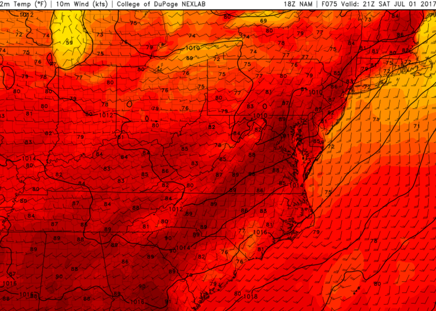
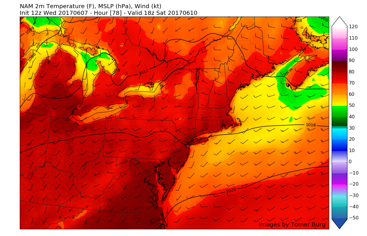
Friday looks to be yet another warm and borderline hot day as mid level ridging continues to build over the area. With the high pressure firmly off of the Mid Atlantic coast by this time, winds from the south should continue to usher in very warm and moist air in the lower levels of the atmosphere that will push a frontal system well to our north. With this frontal system located to our north, any potential pieces of energy that will be capable of triggering any shower and thunderstorms will also remain north of our area during the day. Regardless, Friday will likely be another increasingly muggy and warm day with mostly sunny skies leading to highs in the upper 80’s, and possibly even 90 once again for portions of New Jersey and southern New York. Friday evening looks to be a warm, but bearable one as humidity decreases ever so slightly, but temperatures will likely remain in the low to middle 70’s for lows.
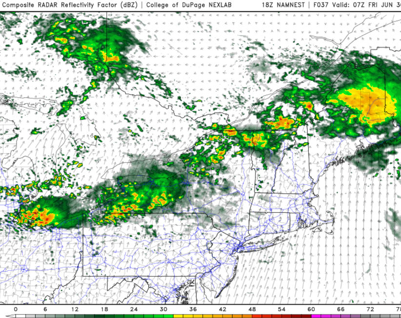
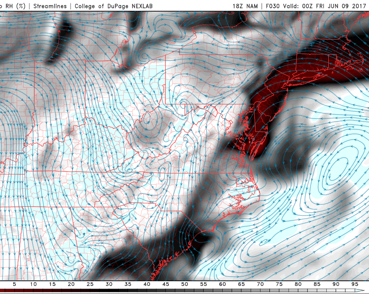
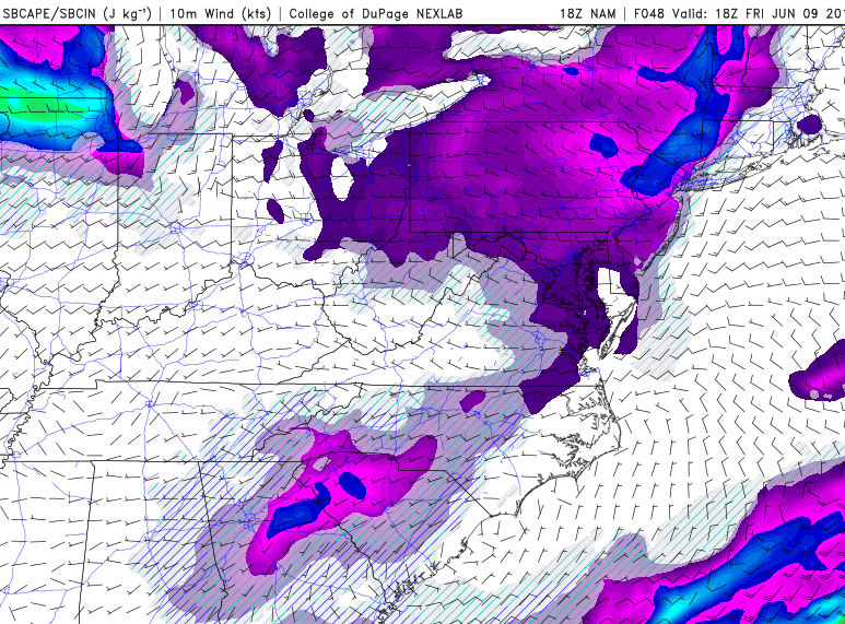
As of now, it appears that the more unstable day appears to be on Saturday as a frontal system associated with some energy from an approaching mid level trough over the Great Lakes region heads eastward. Saturday will also likely feature rich tropical moisture, increasing instability, and some improved wind fields that will be necessary for thunderstorm development towards the afternoon hours. While the thunderstorm threat will definitely need to be revisited on Friday, there does seem to be support from the NAM, GFS, and ECMWF for this scenario. Anyway, Saturday will likely feature mostly sunny condition’s, with increasing clouds towards the afternoon hours once again. Highs will likely be able to eclipse Fridays highs, with 80’s and lower 90’s looking possible.
Sunday also looks to be rather unsettled with increasing cloudiness and an enhanced threat of showers and thunderstorms as yet another lobe of energy rounds the base of the trough located in southern Canada. This lobe of energy will send off some energy through the Ohio Valley, which will act as a trigger and potential development zone for precipitation during most of the day. Due to the enhanced clouds, Sunday will likely be only slightly cooler than the previous two days, with highs likely reaching into the mid 80’s.

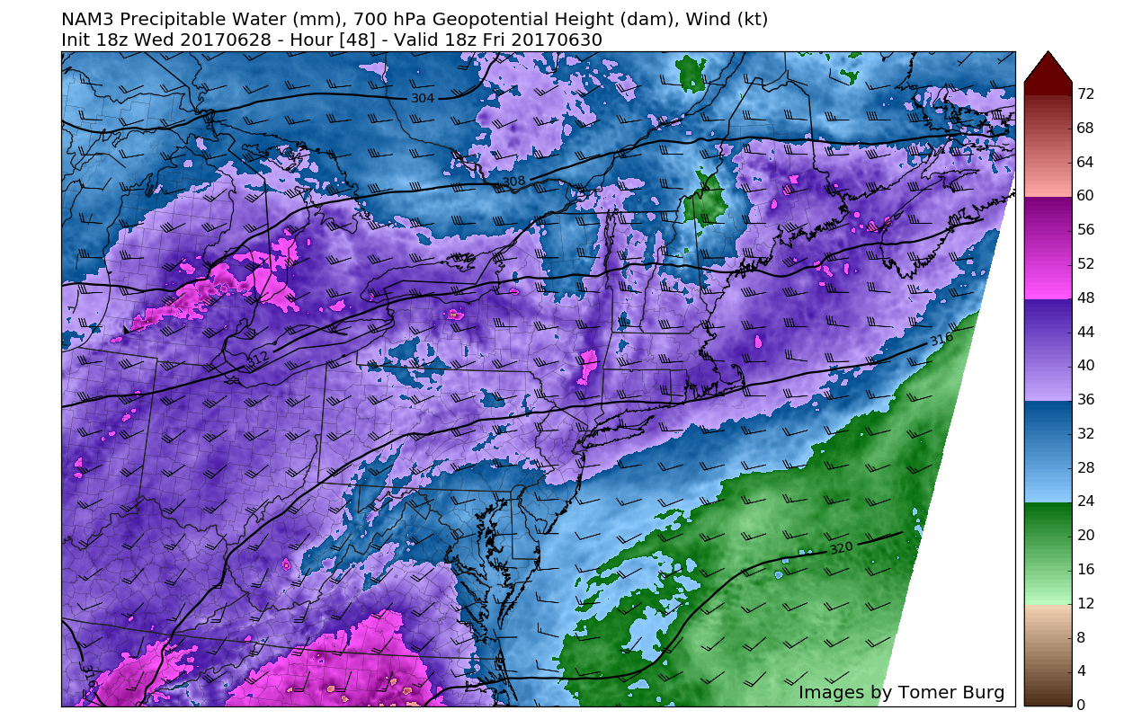
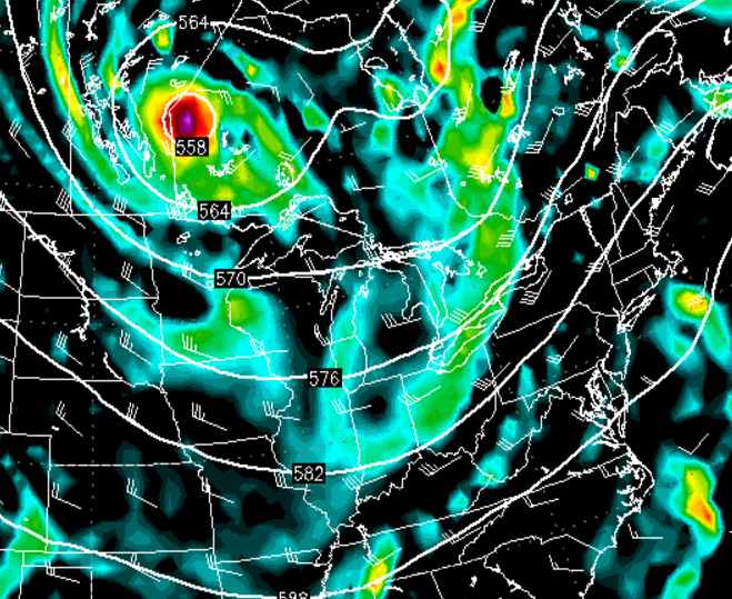
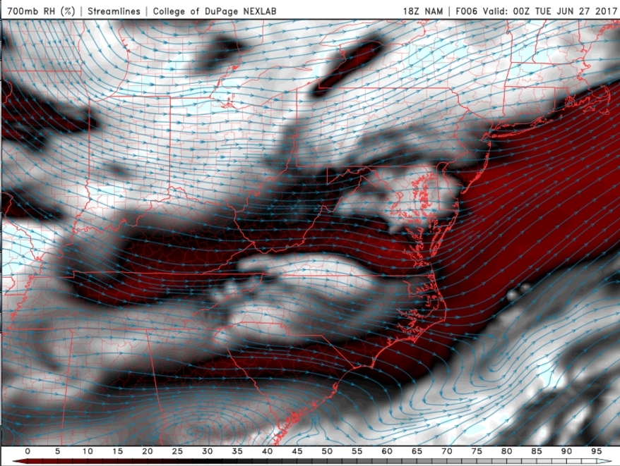
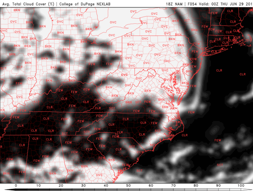
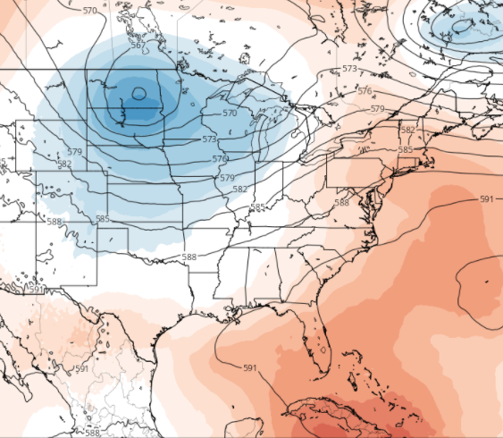
This afternoons European model showing yet another possible Canadian disturbance dropping southward and potentially increasing the threat for showers and thunderstorms for the later half of the holiday weekend (Courtesy of AccuweatherPro)
Drier conditions appear possible for Monday as a subtle mid level ridge builds in behind the weekend system, but this afternoons model guidance has been hinting at the potential for another system to work its way in and potentially provide another chance for some showers and thunderstorms on the 4th of July. We will have a full update on the Holiday Weekend and beyond on Friday afternoon!
For more information and posts like this one, make sure you sign up for Premium Forecasts — where multiple detailed articles, videos, and interactives are posted each day. Also, come interact with our staff and many other weather enthusiasts at 33andrain.com!
Have a great evening!
Steve Copertino


