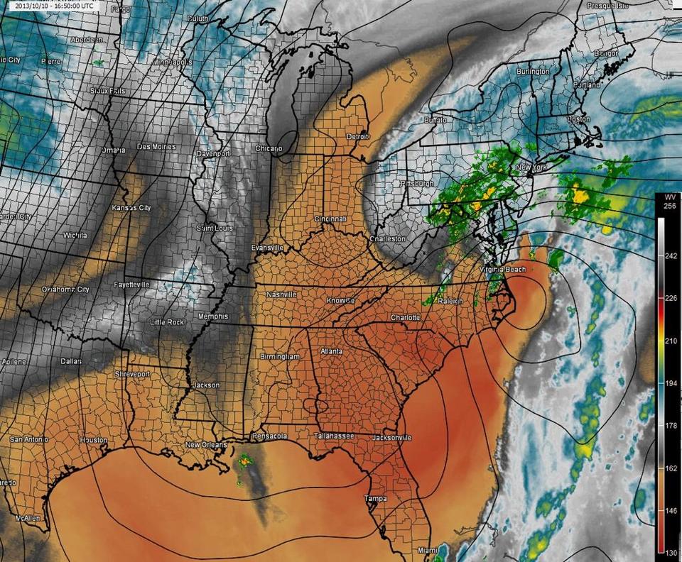
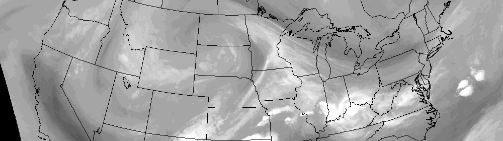
Water vapor satellite imagery early Tuesday morning, showing the strong coastal system moving away to the Northeast and calmer, drier weather approaching.
A late season winter storm impacted the area on Monday, with less flair than originally expected. Warm ground temperatures (and warm air temperatures during the day) combined with light precipitation rates to keep it mainly a non accumulating snow event in Northern NJ and New York City. Dry air won the battle over precipitation farther north over Connecticut and Southeast New York. Farther south, over Central and Southern NJ, a few inches of snow were observed through Monday evening. The brunt of the storm (as far as heavy banding and the low pressure center), however, remained barely offshore. In the end, the storm system will likely be remembered as a “near miss for the area”. As we move forward into the week, a moderating trend in temperatures and dry weather are in the forecast — and it should at least begin to feel a bit more like Spring.
Cool air will hang on initially, with some clouds and a slight chance of showers on Tuesday. High temperatures in the upper 40’s, approaching 50, are expected. Cool nights will still be present with lows in the 20’s and 30’s — so don’t put away the coats just yet. Additionally, the cold air is still present to our north (owing to the big blocking and historically negative AO we experienced last week), so that could take a while to shake. By late this week into the weekend, high temperatures are expected to reach into the 50’s. I think it’s safe to say we are all looking forward to it.
Tuesday: Partly sunny with a high in the mid to upper 40′s. Northwest winds around 10 miles per hour. A slight chance of showers in the afternoon.
Tuesday Night: Mostly clear and cool with lows in the upper 20′s to middle 30′s. Northwest winds 1o to 15 miles per hour.
Wednesday: Mostly sunny with a high in the mid to upper 40′s. West winds around 10 miles per hour.
Thursday: Mostly sunny and feeling warmer with a high in the mid to upper 40′s to near 50. Overnight low in the mid 30′s.
-2")
")