-2")
Milder air will give way to rain, storm threat
A relentlessly active pattern continues as we make our way into the latter half of February. Despite warmer air moving into the area on Thursday and Friday, a significant storm system in the Central United States will move northeastward towards the Great Lakes and drag a cold front through the area later on Friday. The weather on Thursday, in sensible terms, will be much milder than usual with temperatures both aloft and at the surface increasing and plenty of sun expected. We’ll consider it a bit of a consolation prize for the volatility of the pattern over the last several weeks. High temperatures are expected to reach close to 50 degrees in many locations (although cooler near the shore, as usual for this time of year) which will feel almost balmy compared to what we’ve become accustomed to.
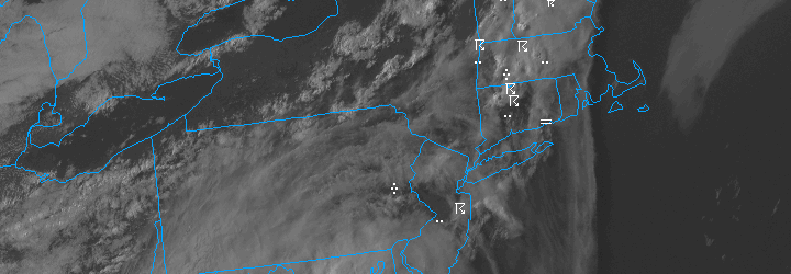
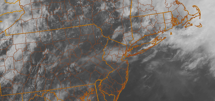
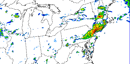
Friday, however, looks to be another active weather day in the area with multiple hazards. First and foremost, the Storm Prediction Center has placed parts of Central and Southern NJ in a Slight Risk for severe thunderstorms. As mentioned above, a cold front will move through the area later on Friday. Increased forcing/lift along this front will act as an impressive trigger for storms — and southerly flow ahead of the front will likely provide adequate instability for at least elevated thunderstorms in those areas. A very impressive mid and low level jet just above our heads provides the potential for strong winds to mix down to the surface in any thunderstorms. Although widespread strong/damaging winds aren’t expected, a few severe gusts seem likely but will remain isolated. The threat drops off farther north where instability is less, although rumbles of thunder and heavy rain are still likely along the front.
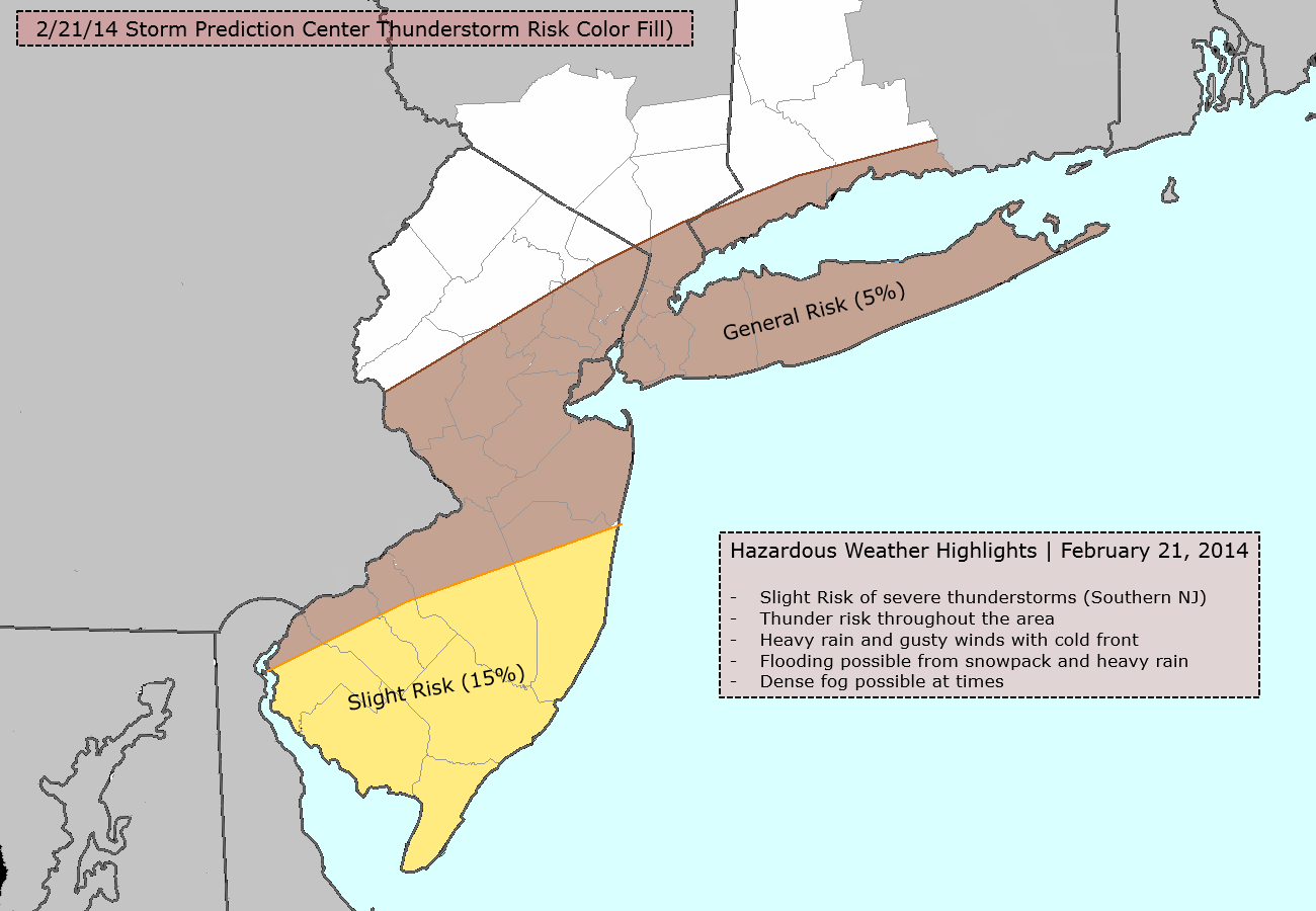
Hazards overview for Friday, February 21 2014.