Forecast: Clouds and rain hang around for one more day

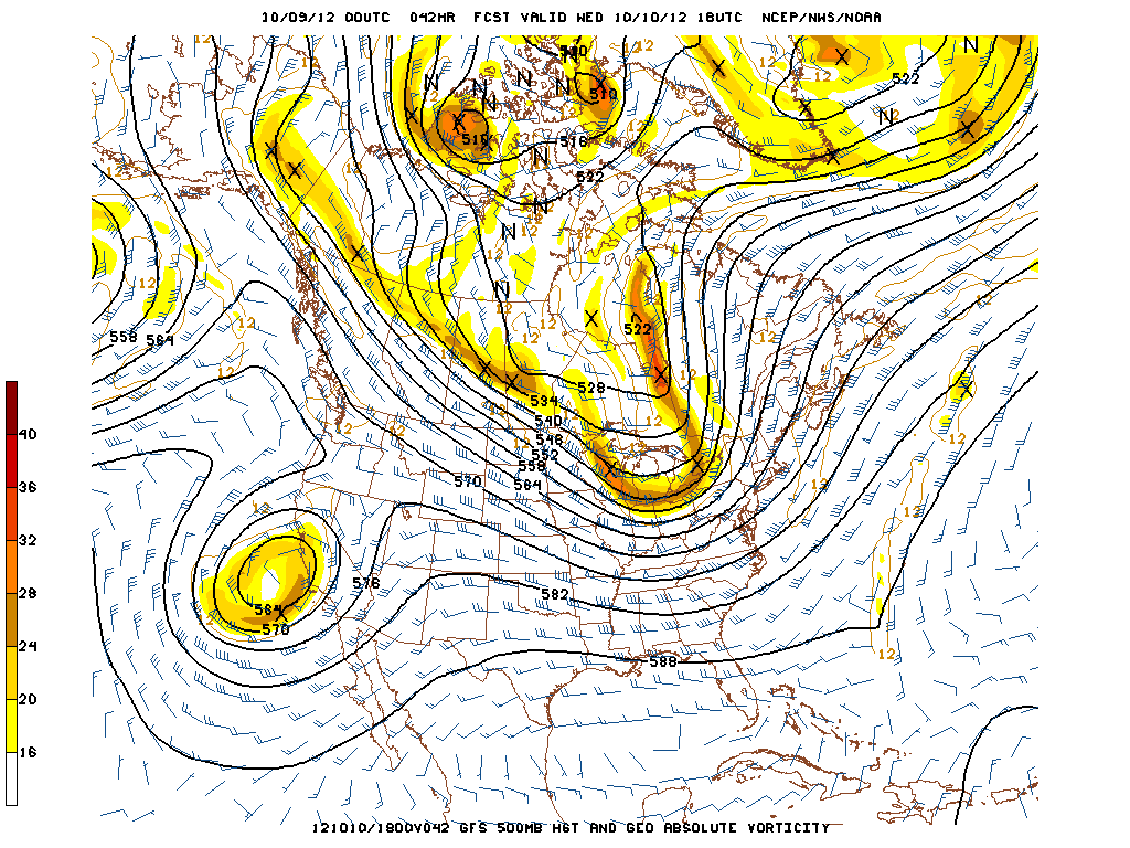
Aside from a few outlier days which featured sun and warmth, the first ten days of October have been rough. Assuming you’re not a fan of prolonged clouds and cold rain, things have been bleak over the past week and a half. With very little periods of sun and warmth, your sweatshirts, jeans, and hoodies are probably worn out by now. Wednesday will provide much of the same — no real buck in the trend as far as sensible weather goes. Showers, cool air, and clouds will be around for most of the day. But the good news is that the weather pattern is changing, and a front passing the area Wednesday Night will sweep the bleak airmass away (for now). Lots of sun is expected from Thursday through Sunday, and we’re probably just as excited as you are. Your complete forecast, including the ALDS Game 3 forecast details are below — hopefully the Yankees can take care of this series in the Bronx this weekend.

Latest NYC-Area radar imagery courtesy of weather-underground shows the intensity and movement of precipitation over the last hour. Refresh the page to update the radar image.

Wednesday: Morning drizzle and showers are likely with a southeast flow off the water. Cool temperatures once again with some higher humidity.  Some clearing is possible by afternoon — but still more clouds than sun. There is another increased chance of showers in the mid afternoon with the possibility of a very isolated stronger shower capable of producing pea sized hail. Winds will shift to the southwest and be primarily light.

Wednesday Night/ALDS Game 3 Yanks vs Os Forecast: There could be some showers around very early in the game and especially an hour or two before the game with the front moving through. Expect skies to gradually clear as the game goes on. It will be brisk, with game-time temperatures starting around 60 degrees but quickly falling to the low 50s and perhaps even upper 40s at game’s end. It will be breezy as well, with west winds around 15mph, but those winds should diminish as the game progresses.

Thursday and Friday: Both look to be sunny with highs in the low 60s. Thursday night should see lows in the mid 40s and a few degrees cooler in the suburbs.  Friday night will be a couple of degrees colder, and may feature lows cold enough for frost in the suburbs. Looking ahead, Friday Night could provide the first potential freeze in some areas. The airmass moving in looks to bring a serious shot of cool air — and temperatures could fall into the 30’s throughout the area by early Saturday morning.

If you haven’t yet, check out our daily posts on Facebook and follow us for live updates and interact with our forecasters on Twitter!


Tuesday AM Update: Showers diminish, but unsettled through mid-week

The last several days have been chilly and raw, and today is no exception. Some moderation is expected, however.

A GFS model forecast showing the trough and cold front approaching the area for Wednesday afternoon.

The weak low pressure system off the coast that has given us our clouds and showers will continue to slowly move northeastward, and thus out of the area throughout today. Therefore, today should start off cloudy with the chance of showers, but that chance of showers decreases as the day goes on, and I expect the afternoon to be mainly dry.  It will still be mostly cloudy, however, as temperatures struggle to reach 60 degrees. High pressure to the north of the area for late tonight might usher in east and southeast flow off of the ocean, leading to perhaps enough moisture at the surface for some drizzle overnight. The clouds lingering will allow temperatures to hold in the low 50s. A trough and cold front will eventually approach the area for Wednesday. Being that we’d be on the east side, which is the warm side of the front, temperatures may approach the 70 degree mark. Wednesday should also feature some breaks of sun, but there will still be more clouds than sun, with the chance of a shower in the early morning hours, and again in the afternoon, as the front ushers in a modest amount of moisture from the Gulf of Mexico.

This front is a bit weaker than the previous front, so although the temperatures will be chilly to end the week, it won’t be as cold as temperatures were on Sunday and Monday.

Today: Light rain in the morning hours will depart from west to east, clearing the entire area by noon. Skies will remain mostly cloudy to completely overcast and highs will be around 60 degrees. Northeast winds around 10mph.

Tonight: A few more breaks in the clouds than during the day, but still mostly cloudy. Temperatures will fall to the low 50s with a chance of some drizzle developing after 2am. Northeast winds at 10mph will eventually shift to the east and southeast and diminish as the night progresses.

Wednesday: Morning drizzle remains possible, but some clearing is likely in the late morning and early afternoon, as temperatures approach 70 degrees. Still more clouds than sun, though, and there is another chance of showers in the mid afternoon. Winds will shift to the southwest and be primarily light.

Wednesday Night/Game 3 of Yanks vs Os Forecast: The cold front makes its way through, so the game will be dry and skies will be clearing. It will be brisk, however, with game-time temperatures starting around 60 degrees but quickly falling to the low 50s and perhaps even upper 40s at game’s end. It will be breezy as well, with west winds around 15mph, but those winds should diminish as the game progresses.

Thursday and Friday both look to be sunny with highs in the low 60s. Thursday night should see lows in the mid 40s and a few degrees cooler in the suburbs.  Friday night will be a couple of degrees colder, and may feature lows cold enough for frost in the suburbs.

As always, you can stay updated throughout the day and interact with our forecasters by checking out our Facebook and Twitter pages. Have a great day, everyone!

PM Update: Showers return, damp weather through Tuesday

Monday was yet another day featuring below normal temperatures and cloudy weather, a trend which our area has been stuck in to begin October. The evening hours aren’t set to improve much, with a chance of showers and rain increasing as the night continues. The culprit will be a weak coastal low pressure, a storm forming just off the coast tonight into early Tuesday. The mid-level atmospheric disturbance over the Northeast will touch off the low pressure tonight, allowing for expanding areas of showers and rain through the Northeast. Temperatures will remain raw as well, in the 40’s and 50’s with a northeast wind. The showers could continue through Tuesday with, yet again, plenty of clouds around the area and temperatures in the 50’s.

Latest NYC-Area radar imagery courtesy of weather-underground shows the intensity and movement of precipitation over the last hour. Refresh the page to update the radar image.

Monday Night/Yanks Cast ALDS Game 2: Rain developing from southwest to northeast and becoming steady throughout the area by early Tuesday morning. Another raw evening with temperatures in the 40′s and 50′s and northeast winds around 10 miles per hour. Rain could be steady/moderate for a period of time, especially near the coast. Sweatshirt weather to say the very least — umbrellas are a good idea as well. Yankees play ALDS Game 2 in Baltimore, looking to leave up 2 games to none in the series. Game 2 will have an weather problem opposite of Game 1 — the rain looks to become more likely as the game goes on. The 8pm start time could prove dicey as rain becomes more likely by 9 and 10 pm. We’ll see.

Tuesday: Starts off poor with showers, clouds, and raw weather once again. The system begins to pull away by afternoon, however, so although scattered showers could continue the general weather will improve. Could see a late-day high near 60 in some isolated locations, but it will generally remain in the 50′s once again.

Wednesday: Continuing chance of showers, but much more sun and less steady/continuous rain is expected as the main system lifts off to the north and east of our area. High temperatures more into the lower 60′s can be expected. Definitely a trend towards more pleasant weather by mid-week.

If you haven’t yet, check out our daily posts on Facebook and follow us for live updates and interact with our forecasters on Twitter!


Forecast: Week begins with a shot of cold air

For the first time since May 11th, New York City’s official observing station in Central Park dropped below 50 degrees Sunday evening and Monday morning. A shot of cold air, behind a front and a coastal low pressure system which passed earlier on Sunday, will continue through the early work week. In fact, Frost Advisories are in effect for Sussex County in Northeast New Jersey and several counties in Northeast Pennsylvania, where temperatures are expected to drop into the middle 30’s by early Monday morning. The weather in general, though, is expected to be manageable on Monday as our area gets a break between atmospheric disturbances.High temperatures in the upper 50’s (maybe isolated lower 60’s in some spots) should make for a pleasant day. Clouds increase by afternoon and evening as the second system approaches, with rain developing by early Tuesday morning.

Ready for the cold? Low temperatures Monday morning will fall into the 30’s and 40’s as shown here by the NAM forecast model.

Monday/YanksCast Game 2: Partly cloudy with a break between atmospheric disturbances. Temperatures running a little warmer than Sunday, into the lower to possibly mid 60′s in isolated locations. Clouds increase by afternoon/evening with another system approaching from the south and west. Showers will begin over southern areas by mid-evening and then spread north towards NYC. Yankees play ALDS Game 2 in Baltimore, looking to leave up 2 games to none in the series. Game 2 will have an weather problem opposite of Game 1 — the rain looks to become more likely as the game goes on. The 8pm start time could prove dicey as rain becomes more likely by 9 and 10 pm. We’ll see.

Monday Night: Rain developing from southwest to northeast and becoming steady throughout the area by early Tuesday morning. Another raw evening with temperatures in the 40′s and 50′s and northeast winds around 10 miles per hour. Rain could be steady/moderate for a period of time, especially near the coast. Sweatshirt weather to say the very least — umbrellas are a good idea as well.

Tuesday: Starts off poor with showers, clouds, and raw weather once again. The system begins to pull away by afternoon, however, so although scattered showers could continue the general weather will improve. Could see a late-day high near 60 in some isolated locations, but it will generally remain in the 50′s once again.

Wednesday: Continuing chance of showers, but much more sun and less steady/continuous rain is expected as the main system lifts off to the north and east of our area. High temperatures more into the lower 60’s can be expected. Definitely a trend towards more pleasant weather by mid-week.

f you haven’t yet, check out our daily posts on Facebook and follow us for live updates and interact with our forecasters on Twitter!