-2")
Medium Range Snippet – Potential Severe Weather on May 22nd?
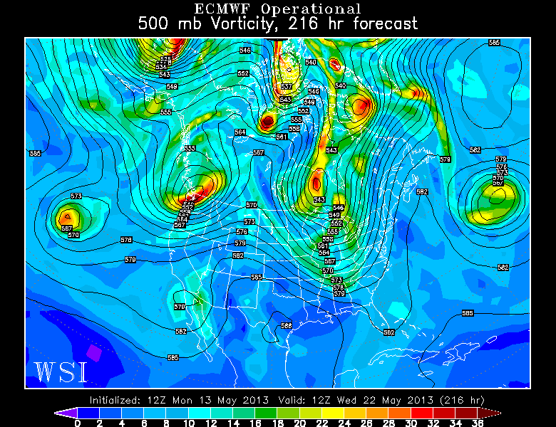
The 12z Euro from May 13 shows a potent trough in the Eastern US, potentially favoring severe weather for the Mid Atlantic and Northeast on May 21 or 22.
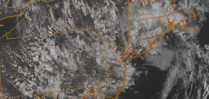
I’m sure a lot of you have been wondering where all of the tornadoes been in tornado alley this year. Additionally, some of you are probably wondering when the first widespread severe weather outbreak will occur in the Northeast. I’ll try to give a quick discussion on that in this post.
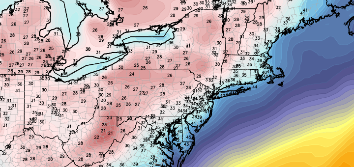
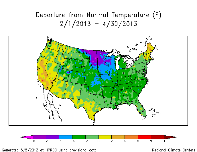
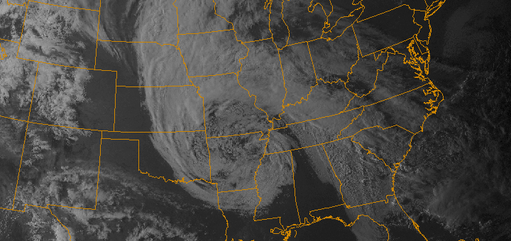
The problem for tornadoes in tornado alley this year (the Southern Great Plains) is that there has been so much blocking and a slower Pacific Pattern, allowing disturbances to slow down as they traverse the country and become monster cutoff lows. Cutoff lows can often be good for severe weather, but when they are too large and too far east, they cut off the moisture and heat supply from the Gulf of Mexico. This is why there has been record breaking cold in the Plains, and also partially why our weather has been pretty chilly thus far.
However, this is expected to change in the next few days. The MJO (Madden Julian Oscillation) is expected to change into phases 4 and 5, and then move into “the circle of death”, where it will stop having an effect. This leads to a much more active Pacific Jet pattern, a bit more troughing on the west coast, and an attempt to raise the heights on the east coast (from moving into phases 4 and 5). The MJO going into the circle of death prevents the MJO from moving into the phases that do not favor troughing and an active Pacific Jet. This prevents the phase 4 and 5 pattern from changing.
This all will lead to some moisture return and heat from the Gulf of Mexico reaching the Plains and our area as well. The active Pacific Jet will lead to storm systems of decent strength, and combine that with good heat and moisture return from the Gulf, that “clash” can lead to severe storms.
Starting on Friday and through the weekend, storms should start to fire — perhaps significantly so — in the High Plains regions, and the severe storm threats will gradually shift eastward as the trough/storm system moves east. By around the May 21 or May 22 time period, the base of the trough may very well be over the southern Ohio Valley. If the trough is potent enough, it will lead to strong mid and upper level winds in our area, along with low level veering in the boundary layer from the return flow from a developing surface low.
I don’t want to sound a “hype” alarm, as many things can still change. But things are looking pretty good for a decent round of storms for the Plains during the upcoming weekend, and perhaps a decent round of storms for the Mid Atlantic and Northeast on May 21 or May 22. It’s not as easy to get severe weather in our area as it is in the Plains, but this should still be something to keep in mind as we move forward.