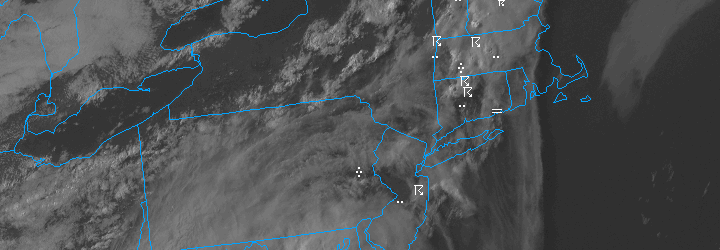
PM Update: Scattered storms, unsettled Monday
After a weekend of heat (temperatures over 90 degrees since last Thursday in many locations), scattered showers and thunderstorms have developed this evening throughout the area. The main organized severe weather threat remained to our north, over New England, where better shear allowed for more widespread organized severe thunderstorms. Despite plenty of sun and instability in our area, storms have had trouble developing and becoming organized. Forecast models, however, are insistent that storms — and areas of steady rain — will develop from Sunday evening through Monday as the front slows near the area.
The unsettled weather, with showers and clouds, is expected to continue into Monday as the warm and humid airmass gets washed away. The news is not all bad, however — after the front passes Monday evening, a seasonal airmass will move into the area. This will bring with it the return of highs in the mid 70’s and lower humidity with pleasant weather in the forecast through the upcoming work week.
Things will gradually warm up again by the end of the week, with warm air advection bringing a chance of some showers into the forecast as well. Stay tuned for more updates and details as the week moves along. Have a great Sunday evening!

