Here’s how cold the cold has actually been

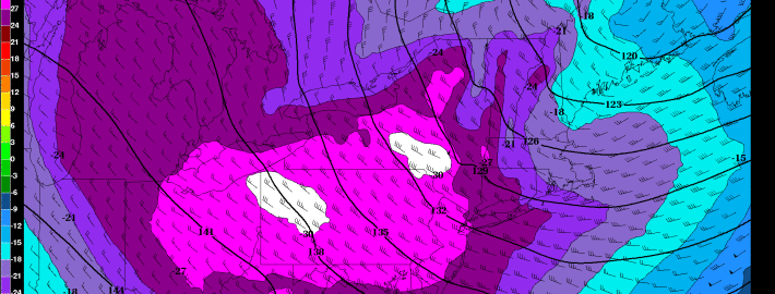
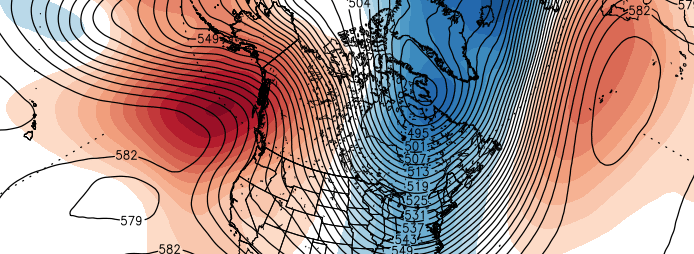
It gets to a point where the actual temperature doesn’t truly matter anymore. Whether it’s 5 degrees or -5 degrees, the cold seems to bring the same type of painful sting to your face. Your car still takes just as long to start up, and your coffee still loses its heat just as quickly. But this February’s cold has been more impressive than anything we have seen recently. While, by and large, we have been able to dodge the prolific snowfall that has buried New England, our area has not been able to escape the cold which has entrenched the Northern 1/3 of the United States.

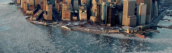
Quantitatively, the cold looks even more impressive. While New York City’s Central Park didn’t get below zero (it fell to 2 degrees last week), the intensity and duration of the cold has brought the monthly data to near record numbers. The Hudson River has frozen over in many spots. As the locals will tell you — that’s how you know it’s really cold. Monthly temperature averages are currently hovering between 10 and 15 degrees below normal throughout New York City and New Jersey.

Read more

Record-breaking cold tonight, followed by an active weather pattern

The theme for this month so far has been cold, cold, and more cold. And that is expected to continue. Most locations in the NYC area are running around ten degrees below average, which currently places us in the top-5 for coldest Februaries on record.

Tonight, another Arctic blast is on its way, as a large chunk of the Polar Vortex will dive into the US. This is the most impressive Arctic blast yet. Had last year’s Polar Vortex phenomenon not been so strong, this Arctic outbreak would be getting a lot more attention. The Arctic cold will be combined with NW winds at around 20mph, gusting to 30mph, leading to dangerously cold Wind Chills.

The big question among us meteorologists is whether NYC will hit 0 or below tonight. The airmass looks cold enough, as 850mb temperatures (about 4500 feet in elevation) look to drop to -27C at 1:00am, and 925mb temperatures (about 2200 feet in elevation) look to fall to -26C at 7:00am.

Read more

Here’s why a cold, wintry pattern will continue

We know, it’s been relentless. But we warned you of this. The past two to four weeks have featured a near constant parade of storm systems with winter weather, as well as bitter cold both during the systems and surrounding them. The pattern has been “locked and loaded” as meteorologists like to say. The atmosphere has settled into a routine, and it’s one that continues to dislodge arctic air farther south than usual while maintaining an active jet stream of energy. This has resulted in countless chances for snow with a train of storm systems moving across the country into very cold air. In terms of snowfall, New England has benefited the most — many weather stations are running toward all time snowfall records.

A breakdown and overview of the hemispheric setup offers us some clues as to why this pattern has become so relentless, and why it’s likely to continue for at least another 7 to 10 days before any hint of moderation. As meteorologists, long term forecasting is rarely as straightforward as “colder than normal with the potential for snow”. But the next 7-10 days offer just that.

Read more

Another winter weather event possible Tuesday

In what now seems to be a never-ending parade of winter weather, forecast models have come into agreement on the potential for another winter weather event on this coming Tuesday. Here’s the change-up with this one: The wintry weather seems more likely to stay south of New York as opposed to north.

A mid level shortwave trough will eject northeastward from the South-Central United States early this week, and in doing so will spawn the development of a surface low over the Mississippi Valley. This surface low will shift northeast with time, toward the Mid Atlantic states on Monday and Tuesday. While the mid level energy de-amplifies a bit, the storm system will move toward the coast.

Read more