PM Update: Departing storms, continually unsettled

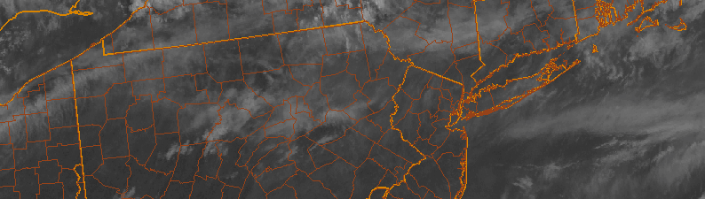
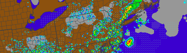
Showers and thunderstorm, none severe, moved through the NYC area during this afternoon and early evening. Sparked by a mid level disturbance and surface cold front, the storms were mainly of the “Garden variety”, although some of them packed some gusty winds. Tropical moisture in place added to threat for heavy rain, which did result in some localized flooding. But overall, a lack of instability in the atmosphere kept any severe weather threat from materializing.

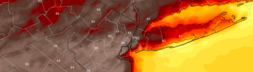
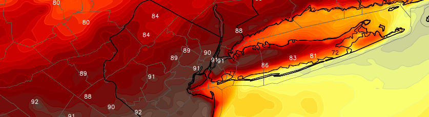
The same was not true over Southern NJ, where better surface instability led to the development of a few supercells, which caused wind damage over Southern New Jersey earlier today. For most of the region, however, the good news is this: This front will slide southward and bring cooler, less humid, and more stable to the area tonight.

Read more

Heat, unsettled weather will continue this weekend

After our area was able to escape strong to severe thunderstorms on Thursday, many expected Friday to be cooler and more refreshing. You were wrong. Mid level temperatures remain hot — even behind the wind shift boundary that was able to touch off some severe thunderstorms in Pennsylvania on Thursday. As it turns out, mid level capping and dry air in those levels of the atmosphere was able to suppress any thunderstorm development in our area.

Friday will feature conditions quite similar to Thursday. Temperatures will rise into the upper 80’s and lower 90’s away from the area beaches. Humidity values, though lower than Thursday, will still make the air feel somewhat uncomfortable. The air quality will also remain poor. Heat Advisories are in effect to the south and west of New York City, nearer to the Philadelphia metropolitan area.

Read more

Isolated severe thunderstorms likely today

A deep southwesterly flow has developed this morning, allowing for increasingly warm mid level temperatures to advect into the area. Surface temperatures, as a result, are expected to rise much higher today than they did on Wednesday. Temperatures in the low 90’s are anticipated by early afternoon throughout much of New Jersey and New York City. Humidity will be on the rise as well. An Air Quality Alert is in effect for parts of NJ and NYC today, which means you should avoid prolonged exposure to the heat and humidity as air quality will be subpar. 

A wind shift boundary, sitting just to our north over the Lower Hudson Valley, will serve to enhance the development of instability to its south. Models are in good agreement that upward of 2500 joules of Surface Based CAPE will develop from Eastern PA into New Jersey and New York City during this afternoon. These numbers are quite high for our area — especially during this time of year.

Read more

PM Update: Pleasant evening, hot and stormy Thursday

Wednesday turned out to be one of the more beautiful days in the past several weeks. A transitional day, between disturbance, meant highs climbing into the lower 80’s with an abundance of sunshine. But more importantly, lower humidity and a lack of lift and atmospheric instability meant no thunderstorms or rain. Fair weather clouds were the only thing passing by — and the weather was extremely comfortable, even if the sun was a bit hot.

Wednesday evening, temperatures will remain comfortable and winds will continue westerly. This is important, as it negates any marine air or onshore flow (which kept us cool last week). To our north and west, a frontal system and wind shift boundary will move from the Great Lakes into the Northeast on Thursday. So while Wednesday Night will be pleasant and quiet, this boundary will be important for the coming day on Thursday.

Read more