Heat, severe weather threat will build this week

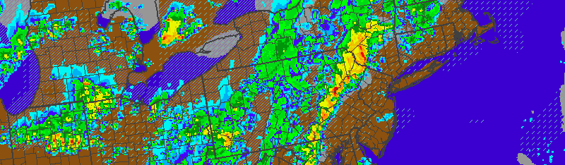
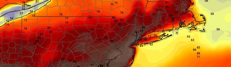
Yesterday we wrote that “summer weather was finally here”. Well, if you’ve been here long enough you know that “summer weather” refers to sunshine and warmth, but also brings the potential for thunderstorms, heavy rain, and strong winds. We were able to luck out on Monday, as strong and severe thunderstorms (which produced widespread reports of damaging winds) stayed off to our west. Tuesday will be first day which storms will move through our area.

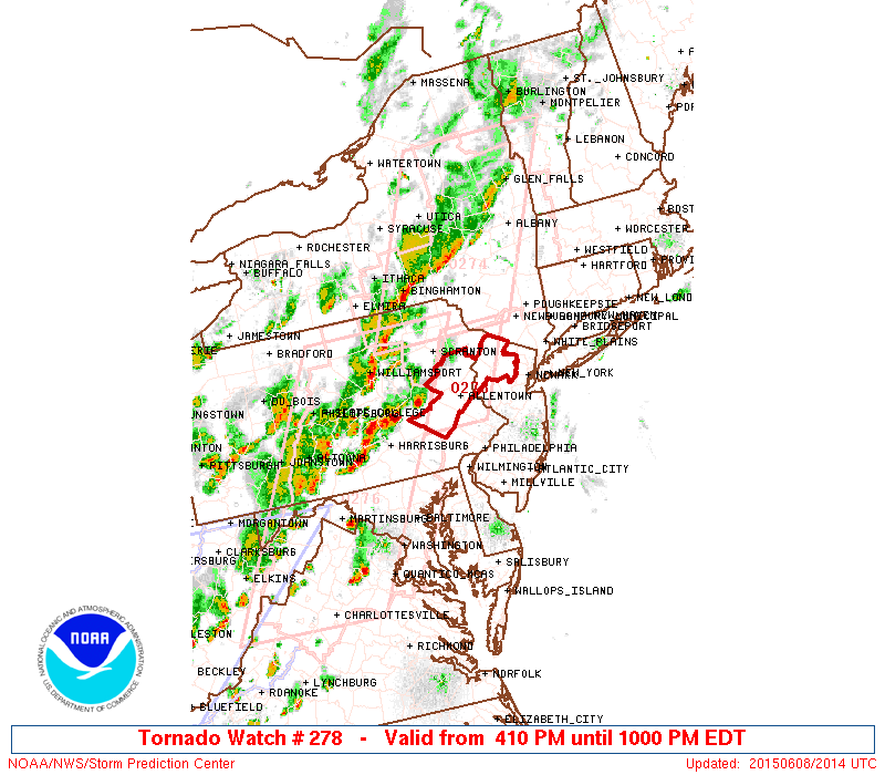
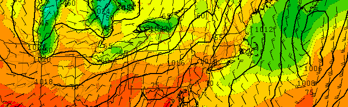
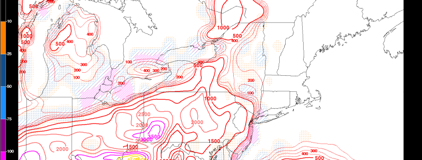
While the storms on Tuesday aren’t expected to be quite as severe as the ones which brought wind damage to the interior Northeast on Monday, they will still have the potential to produce gusty winds, small hail, and heavy rain. Lightning will, of course, also be a threat in any storms that develop. Instability will be a bit less than ideal for widespread storms, but wind shear may help them organize. The Storm Prediction Center has issued a Slight Risk for severe thunderstorms, mainly to the north of NYC into New England. 

Read more

Showers, thunderstorms likely early this week

UPDATE 4:00PM: Tornado Watch is now in effect from Eastern PA into Western NJ through 10:00pm. Strong thunderstorms capable of producing strong winds and isolated tornadoes are possible through this evening in these locations. Stay weather aware and have a plan in place in the case that warnings are issued.

A Tornado Watch means that thunderstorms are possible, and some may be capable of producing tornadoes. While not immediately expected, tornadoes are possible during the watch time and in and around the watch area. Be sure to stay weather aware during the watch time period.

These thunderstorms are expected to move east tonight, but weaken as they head toward Eastern NJ and NYC.

ww0278_radar_big

Read more

Weekend will bring improving, warmer weather

The stretch of unsettled weather this week brought about temperatures in the 60’s, with an onshore flow and marine air. Plenty of showers marred the forecast from Monday through Friday, and winds off the area waters meant more humid and cool conditions. Although we are fast approaching the summer season, this week felt more like April than anything else. Luckily, the weekend will be the start of improving conditions and a trend toward at least more seasonable temperatures.

Although winds will be variable, and the coast will remain somewhat cooler than surrounding areas, temperatures will warm into the 70’s during the day on Saturday, especially in the interior. The warm sun will be a welcomed addition to the day, after a cloudy start, given the weather we have experienced over the past week. It will certainly feel warmer than it has in a while. Southwesterly winds will eventually try to take over, and bring warmer air into the area as well.

Read more

Organized thunderstorm potential on Monday and Tuesday

If you’re here looking for an article on the general weather over the next few days and the weekend, check out our previous article. This article will focus on the potential for thunderstorms on Monday and Tuesday, some of which could be severe.

In what could be a foreshadowing of the pattern for much of the summer, a ridge will be developing in the NE Pacific, which forces a trough to enter the Great Lakes and Southeast Canada. Wavelengths are shorter in the summer than in the winter, which means that instead of that trough being forced into our area, it generally will stay to our west. This also means and gives more room for some ridging to our south and west. The incoming troughs at times can enhance southwest flow ahead of them and thus “push” or advect some of that warm and moist air into the region in the form of a warm front. This summer, in general, should thus have periods of cool and warm weather in 2-4 day periods as warm fronts bring in occasional heat and humidity, but Great Lakes troughs will keep them from being sustained and will also bring some cool weather — very few prolonged heatwaves.

Considering we will often be on the boundary ahead of the trough and just ahead of the strongest ridging, this could mean an active severe weather season for our area. And this exact scenario could be playing out to start next week — a warm front will be pushing northward, providing wind shear, warmth, and instability, while the strong trough incoming will provide chilly mid-level temperatures, height falls, and energy for lift.

Read more