-2")
Organized severe storms possible Tuesday afternoon/evening
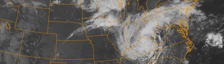
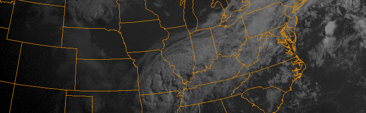
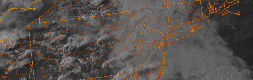
The thunderstorm season has been pretty active so far throughout the Northeast, but this has not necessarily translated all the way to the coastal areas and the major I-95 cities. This is about to change, come Tuesday, as one of the better setups for severe weather we have seen in some time looks to take shape.
The synoptic weather pattern evolving has similarities to a lot of the better Northeast severe weather events dating back to the early 2000s. There is a large heat ridge in the Desert Southwest which extends east through the Southern Plains and Missouri Valley. To its north, there will be a rigorous shortwave diving down Southern Canada and heading east and southeast towards the St. Lawrence Valley. Over the top of the ridge and south of the shortwave, mid-level westerlies get accelerated rapidly. This helps with two things:
1) It leads to strong deep-layer wind shear with a westerly mid-level flow that is typically required for our area to have its best thunderstorms.
2) It helps to advect an Elevated Mixed Layer (EML) into the area, which has roots from the Desert Southwest. The fast westerlies push it into our area.