Spring-like weather has continued so far this weekend, and although temperatures are not warm as we experienced on Wednesday and Thursday, they have hovered 10 to 15 degrees above normal for this time of year. Unfortunately, the enjoyable weather and sunshine are on borrowed time, and the weather will start going downhill by Sunday night.
Tonight, a weak cold front will push south through region — remaining mostly dry. High clouds will limit more radiational cooling and keep temperatures higher than Friday Night. Temperatures will drop into the lower to middle 40s for much of the area overnight, with some of interior valleys getting perhaps down into upper 30s.
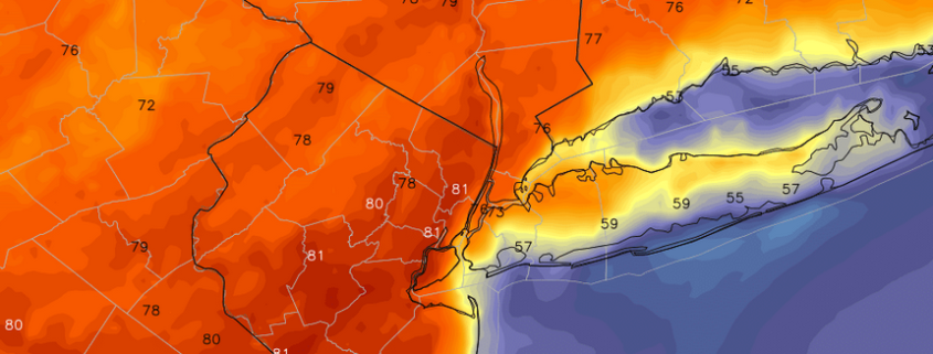
Sunday will start with sunshine filtering through high clouds. Then clouds will thicken and increase during afternoon hours from south to north across the region. There is a slight chance for a few showers later Sunday afternoon with a warm front our south, mainly over Central or Southern New Jersey. High pressure will likely keep rest of the area dry. Temperatures will still reach the upper 50 to lower 60s during the afternoon.
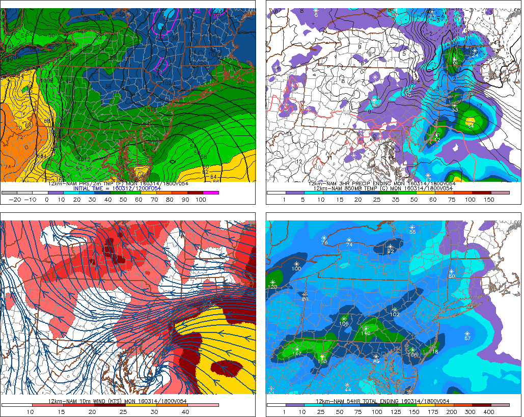
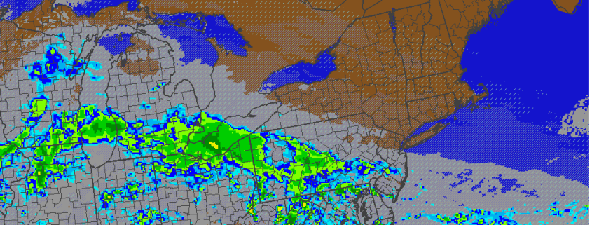
12z NAM showing rainfall with easterly winds and chilly temperatures on Monday
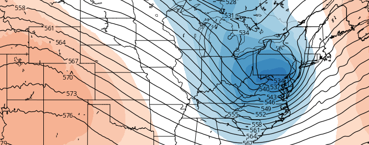
Skies will be mostly cloudy Sunday night. Winds will turn more easterly tonight bringing in marine layer. Increasing warm air-advection aloft could cause more showers to develop during the night. By Monday, a small wave of low pressure developing along Delmarva coast will bring more rain. It will be cold and raw, with onshore winds and rain keep temperatures from getting out the 40s. A modest low-level jet with this low could enhance more lifting for moderate to heavy rain at times.
Low pressure moves east of region Monday night. Rain likely taper off to some showers or drizzle, with winds turning more northerly. More showers and drizzle are possible Tuesday morning with a shortwave and another low pressure developing near the New Jersey coast. This system will move away from region Tuesday afternoon, with clouds perhaps breaking for some sunshine. Temperatures may head back above normal into upper 50s to lower 60s.
For detailed technical information and updates, register for Premium Membership today!
-2")