-2")

Thunderstorms this afternoon may be strong with gusty winds
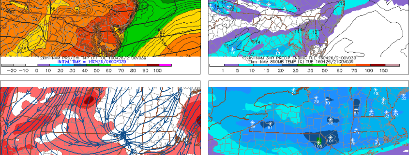
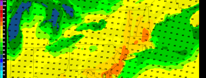
A warm front, associated with a wave of low pressure system over Northeast PA, has situated itself across the area this afternoon. Warmer temperatures exist to the south of the front, over Southern and Central New Jersey, where temperatures have already surged into the middle to upper 70’s. Farther northeast, colder marine air remains in place where temperatures are in the 50’s over New England. This warm front will serve as a focal point for the development of storms later today, as an upper level disturbance approaches the area.
Some of these thunderstorms may be strong to severe this afternoon, especially over Central and Southern New Jersey where stronger instability will develop. The Storm Prediction Center has issued a Slight Risk of severe thunderstorms for those areas. Meteorologically, this threat is supported by both kinematic and thermodynamic evolutions. Instability, on the order of 500-1000 j/kg of mixed layer cape, will support storm development once the upper level disturbance approaches. Mid level lapse rates may limit the threat of widespread severe weather (between 6.0 and 7.0 C), but steeper low level lapse rates in Central and Southern New Jersey, juxtaposed with favorable 0-6km bulk and speed shear may lead to some organized storms. The main threat with these storms, which will drop southeast through NJ and NY later today, will be damaging winds and hail. A weak tornado isn’t impossible, especially near the warm front with backing low level winds.