-2")
Premium Weekly Outlook 5/9 – 5/14: More sunshine and warmer temperatures
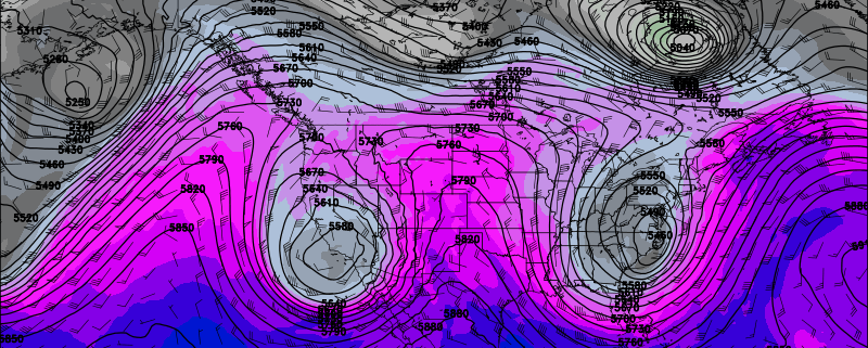
The omega block pattern that supported that the cool, cloudy wet weather for most of last week, is breaking down. More days with sunshine and warmer temperatures are likely this week, with high pressure or confluence underneath an upper-level low over Southeast Canada, keeping frontal boundary mostly south of the region. But an -EPO block developing this week may eventually lead some wet weather to return at the end of this week and the start of next weekend. More technical details on the weather will be discussed below.
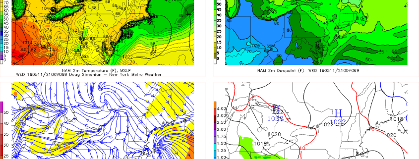
First off, today will be a beautiful day. High pressure and confluence from the upper-level low over Southeast Canada will keep a frontal boundary to the south of our region. More high to mid-level clouds over Central and Southern New Jersey are expected to remain closer to the frontal boundary, while sunshine dominates farther north over Northern NJ and NYC. West-southwest winds and deep mixing between 750mb and 800mb will cause temperatures to rise into the lower to middle 70s this afternoon. Breezy conditions also likely this afternoon with wind gusts to near 35mph possible. These winds will also likely hold off any sea-breeze to later in the afternoon, so many coastal locations will see warm temperatures as well.
