Sunday Evening Overview: Showers late tonight, colder drier mid-week

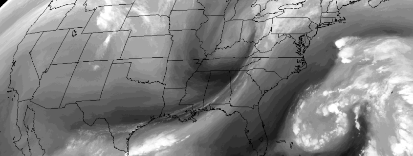
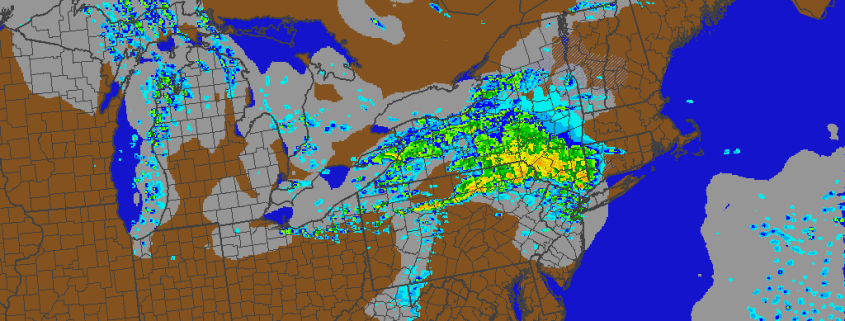
After a beautiful, blustery day, winds will begin to diminish this evening. Then clouds will increase tonight as a weak clipper low approaches the Great Lakes. While moisture will be limited, some showers from this system are likely over parts of the region late tonight and into early Monday morning. Especially just northwest of NYC, where better forcing, just north of the low track, could even support a period of moderate rain. Temperatures will fall into middle 40s to lower 50s much of the region overnight.

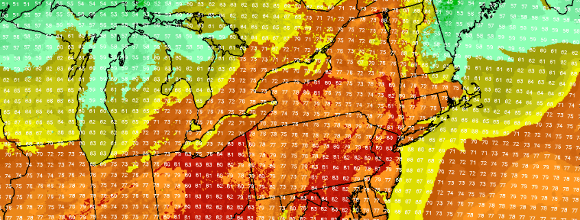
Then clouds will clear for more sunshine, behind the clipper later Monday morning and afternoon. It will become breezy again with drier northwest winds. But winds will be as strong as this past weekend. Sunshine will help temperatures reach into the upper 50s to lower 60s. But a colder airmass will begin arriving tomorrow night with temperatures dropping into 30s and 40s over the  region. Some other highlights through midweek:

Read more

Friday Overview: Showers into Saturday, turning cooler and windy

Cooler and unsettled has arrived late this week, as anticipated. This morning showers are moving northward with moderate to heavy downpours, over Eastern NJ, NYC metro and into Lower Hudson Valley. These showers will move north of region by early this afternoon. But more showers could developing later this afternoon and evening as a cold front and a wave of low pressure developing along it approaches the region. Some locally moderate to heavy downpours with possible with any showers. But some subsidence between the cold front and another system offshore, will likely keep showers from becoming more widespread over region and could cause clouds to break for more sunshine this afternoon. This will help temperatures rise into the lower to mid 70s this afternoon, over much of the region.

Read more

Tuesday Overview: Near record warmth thru Wed, then cooler & unsettled

More summer-like warm temperatures are in store for today, as strong, anomalous ridge for this time builds over the region. Mostly sunny skies  are expected today with highs reaching the lower to middle 80s. A deepening low over Southeast Canada will cause winds to somewhat gusty of south later this afternoon. These winds could keep parts of Long Island and south-facing shores a little cooler. But temperatures are still closer to normal for July. A few record highs were broken across the area already yesterday. These are record highs from National Weather Service will be jeopardy again today.

Read more

Premium weekly outlook: Very warm start, cooler air to follow

The anomalous warmth we spoke about last week? It’s finally here! Sunshine will mix with clouds occasionally this afternoon, but by and large, high pressure will remain in control of the weather throughout the Northeast United States. Forecast model guidance suggests that 850mb temperatures of 12-14+ C will surge northward toward the Mid Atlantic states, with southwest winds drawing in warmer air at the surface. Temperatures will rise in the upper 70’s to near 80 this afternoon, with the possibility of some clouds later this afternoon and evening as a weak disturbance passes by. Otherwise, clearing is expected later tonight underneath high pressure and light winds. The interior valleys will drop into the 50’s, but this will be much warmer than the past several nights. Radiational cooling and warm air advecting in the mid levels could cause moisture to be trapped in the low levels — leading to low clouds and patchy fog in spots through Tuesday morning.

Read more