Premium: Warmer than normal temperatures by late May

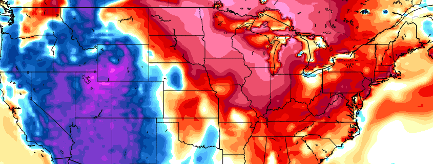
The news many have awaited for several weeks is finally here: We are forecasting the return of above average temperatures by the end of May. For the past few weeks, the hemispheric pattern has been stuck in a bit of a rut. High latitude blocking has maintained its control over the pattern, on both the Pacific and the Atlantic sides, forcing the development of anomalous cutoff lows and troughs into the Northern 1/3 of the United States. Colder than normal air with unsettled weather has been the dominant sensible weather in our area.

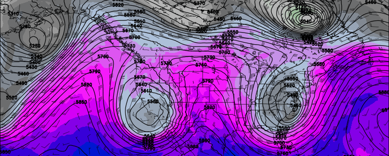
The transition out of this pattern is already underway. While high latitude blocking on the Pacific side (a -EPO) will again flex its muscles late this week, it will be more of a parting shot than anything else. An upper level low will form, as a response to the -EPO ridging, and push into the Great Lakes. But its presence will be mainly progressive, as a front swings through our area and the upper level trough elongates and moves to our northeast.

Read more

Premium Weekly Outlook 5/9 – 5/14: More sunshine and warmer temperatures

The omega block pattern that supported that the cool, cloudy wet weather for most of last week, is breaking down. More days with sunshine and warmer temperatures are likely this week, with high pressure or confluence underneath an upper-level low over Southeast Canada, keeping frontal boundary mostly south of the region.  But an -EPO block developing this week may eventually lead some wet weather to return at the end of this week and the start of next weekend. More technical details on the weather will be discussed below.

First off, today will be a beautiful day. High pressure and confluence from the upper-level low over Southeast Canada will keep a frontal boundary to the south of our region. More high to mid-level clouds over Central and Southern New Jersey are expected to remain closer to the frontal boundary, while sunshine dominates farther north over Northern NJ and NYC. West-southwest winds and deep mixing between 750mb and 800mb will cause temperatures to rise into the lower to middle 70s this afternoon. Breezy conditions also likely this afternoon with wind gusts to near 35mph possible. These winds will also likely hold off any sea-breeze to later in the afternoon, so many coastal locations will see warm temperatures as well.

Read more

Premium: Omega block returns, with different results

An anomalous blocking pattern has returned for the second time this Spring, but the sensible weather results will be quite different this time around. Instead of falling underneath a large blocking ridge of high pressure, as we did in early April, this blocking pattern has brought (and will continue to bring) persistent troughiness and unsettled weather to our area, as well as below normal temperatures.

The blocking pattern responsible for the troughiness is quite impressive. Higher than normal height anomalies are present throughout much of the Arctic, including Northern Canada and much of the Northwest Atlantic. This blocking is something that seemingly hid itself during the winter months — which some are certainly thankful for, as its presence would lead to extreme cold and snow. Unfortunately, this time of year, it has resulted in clouds, showers, and temperatures in the 50s for this entire week.

Read more

May the 4th Overview: Clouds, Rain, Drizzle…Cut-off Low Woes by Friday

In a galaxy far, far away the weather is probably 1000 times better than it has been here this week. It’s about as miserable as it gets out there. Cold, damp and raw. This all due to omega block, which we’ve been discussing since Sunday, that has set up across over North America this week. While complete washouts aren’t still anticipated, there will be little to force these damp and dreary weather conditions out of the region until the blocking pattern begins to break down this weekend.

Read more