-2")
Zone 1 NYC Metro Test Blog
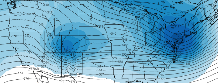
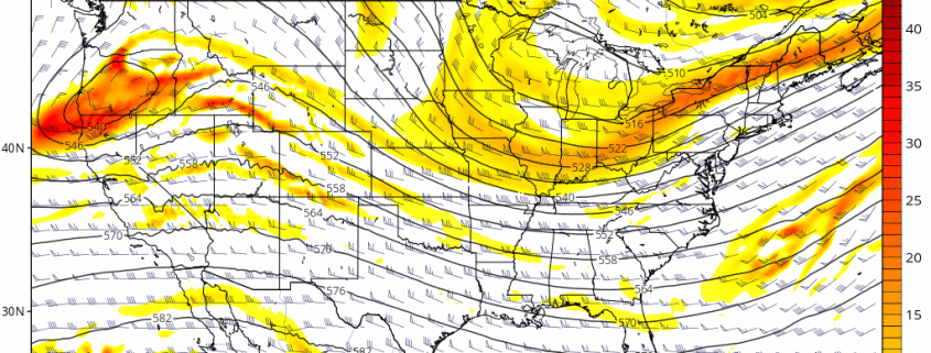
Overview: A weak disturbance will bring some light precipitation to parts of the region during today. A larger storm system will impact the region with more rainfall and milder temperatures tonight and Tuesday. A cold front moving through by Wednesday will deliver much colder air later next week.
Today (Monday): Mostly cloudy with a 30% chance light rain showers.Highs in the middle 40s.
Tonight: Mostly cloudy. 40% chance of rain showers. Lows around 40 then temperatures rising late.
Tuesday, Mostly cloudy and much milder. Periods of rain likely. Highs in middle 50s.
Wednesday: Partly sunny and still very mild with highs in the middle 50s.
Thursday: Mostly sunny and colder. Highs in the middle 30s.
Friday: Mostly cloudy with a 30% chance of light snow. Highs in the lower 30s.
Saturday: Mostly cloudy and very cold. A 30% chance of light snow. Highs in the upper 20s.
Sunday: Mostly cloudy with a 30% chance of light snow. Highs in the lower 30s.