Why the MJO and stratosphere are so critical for wintry weather in February

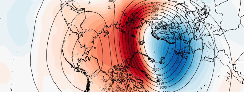
As we move into February we are likely to see another change in the hemispheric weather pattern. Once again, changes with MJO/tropical forcing and in the stratosphere will play a major role in this shift. In our long-range outlook update on Saturday, we discussed these features and how they may potentially influence the atmospheric pattern. Here we will discuss what influence these climate phenomenon will have on pattern during the February and into first half March.

Read more

Evening All Zones: Improving weather during the midweek

A quick, light winter storm impacted parts of the area today, mainly in from Northern NJ into NYC, LI and parts of CT. 1 to 3 inches of snow fell in most of the aforementioned areas, with accumulations on all surfaces and snow throughout much of the day. The low pressure system associated with the disturbances in the mid and upper levels of the atmosphere is shifting eastwards today, developing south of New England.

A few snow showers remain in the Northern Mid Atlantic this evening, and will continue to shift north and east as the evening goes on. Lift in the atmosphere will decrease significantly as the overnight period goes on. The best chance for continued snow in our region will be in Northern Connecticut. Elsewhere, improving conditions are expected.

Read more

Noon All Zones Update: Snow continues this afternoon

A weak low pressure area developing through the Northeast is continuing to provide sufficient lift and moisture for snow this morning, particularly across Northern New Jersey, Southeast New York, Connecticut and Long Island. This lift is being enhanced by a notable mid and low level jet at 850mb (about 5000 feet above our heads). Over the next few hours, snow is expected to continue sporadically throughout those areas.

Frontogenesis, or gradients or temperature and wind in the atmosphere, is enhanced at the 850mb level as well as visualized on mesoscale analysis in the Northeast this morning. This frontogenesis/enhanced lift will shift northeast into New England as the afternoon goes on, so snowfall will become more sporadic over NJ and NY this afternoon.

Read more

1/31/17 AM All Zones: Some Snow, Especially for Northern Areas Today

Skies will remain mostly cloudy today, as a clipper system coming out the Great Lakes. Snow is still anticipated for many parts of the region, especially north of Central New Jersey. Primary low pressure will weaken and stay northwest of the region. While a secondary low begins forming just south of Long Island and then tracks northeast over Cape Cod or Nantucket regions during the evening hours.

Snow will begin breaking out from west to east across much of the region between 8am and 11am this morning then continues into at least the early afternoon hours. This is primarily due to isentropic lift, from warm-air advection the mid-levels of atmosphere occurring over a colder airmass remain more stubborn near the surface. Surface temperatures will be in the 20s and lower 30s during this band. So some light accumulations are likely, north of Central New Jersey

Read more