-2")
Inching Closer to Snow this Weekend
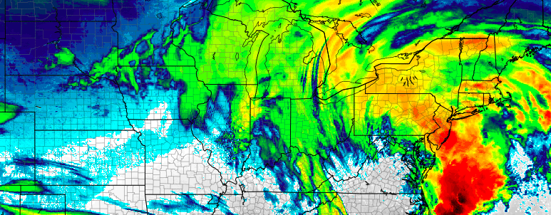
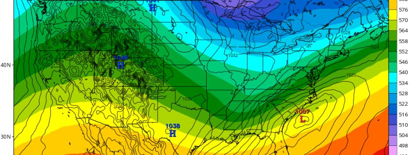
As many of you know by now, there are two threats for snow over the next few days: the first of which starting late Thursday night and Friday, and the second of which on Saturday. While most model guidance verbatim is still not impressive with either threat, there have been many impressive trends today, particularly with the second storm, as that one has a much higher ceiling. The UKMET model, for example, shows a big snowstorm for a 2nd straight run, the ECMWF and its ensembles made another large jog westward.
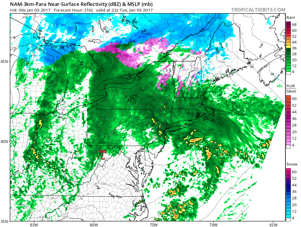
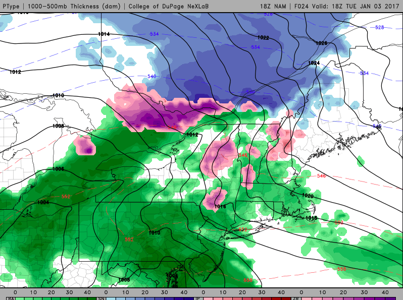
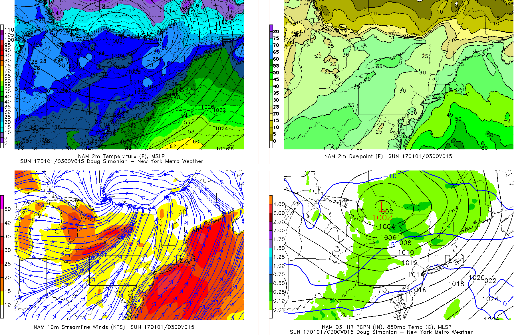
The first disturbance is via a Polar shortwave that dives southward into the Northern Plains from Canada. This shortwave is pretty potent and resembles a lot of past setups that have a late-blooming low pressure that drop a few inches of fluffy, high-ratio snow. What’s preventing this event from having a truly high ceiling is that this shortwave is not truly detached from the downstream flow and initial vortex in SE Canada, so it cannot become its own entity. This shunts the positive vorticity advection main access offshore where there is a separate area of disjointed vorticity rather than the area where the main shortwave is. The main shortwave instead simply serves to buckle the flow a bit and provide more dynamics rather than directly correlate with the track of the system. That being said, this shortwave may still trend amplified enough to allow a last second north jump with a weak low pressure offshore that can give a few inches of snow to coastal areas.