Onshore flow and Unsettled Weather Remains, but Light at the End of the Tunnel

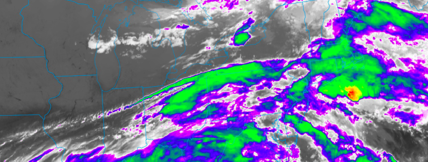
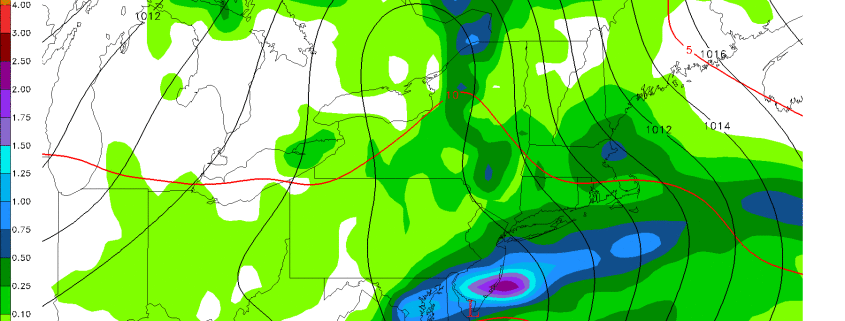
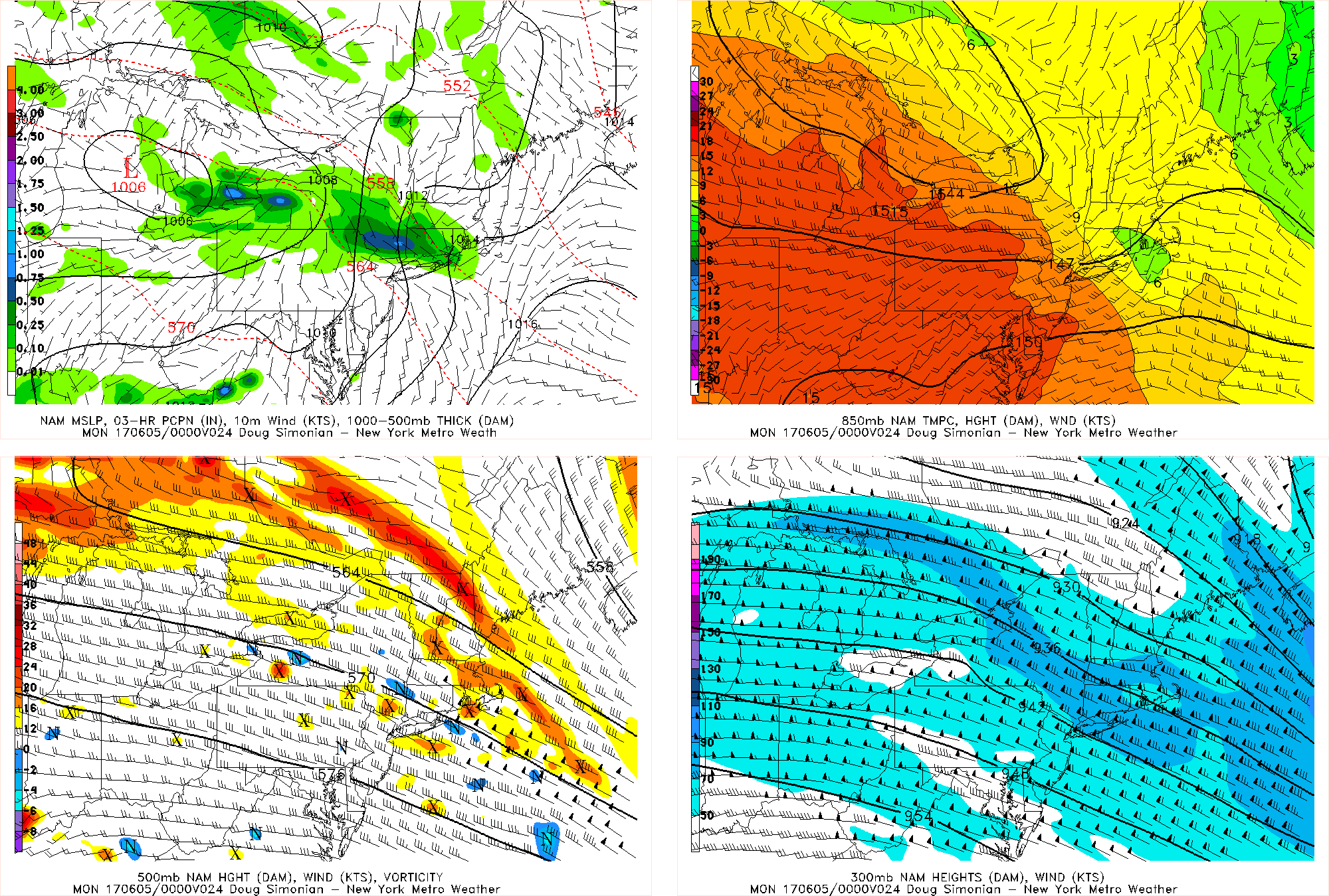
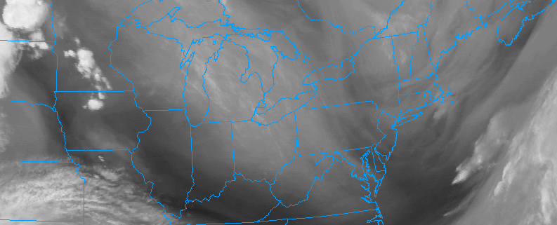
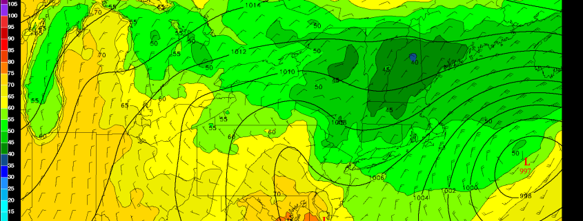
Good evening, everyone! Unfortunately, the onshore flow and unsettled regime from the past several weeks has re-entrenched itself across the area, giving our area plenty of clouds, fog, drizzle, as well as scattered showers and thunderstorms. But as we mentioned in our premium article on Saturday night, there would be some subsidence in the area between a departing coastal storm and the core of a mid-level disturbance well to the northwest. This is why our area is not seeing any rain right now. However, plenty of deep onshore flow will keep a lot of low-level clouds and moisture around, which will lead to drizzle and fog continuing for the night. Some of this fog could be dense along the coast, as this moisture will get trapped underneath a strong inversion aloft. Temperatures will generally remain in the low 60s for most of the overnight, and any rain and thunderstorms associated with the main mid-level disturbance will mostly remain in Orange and Dutchess counties and northward. But as the mid-level disturbance slowly pivots southeast, storms will gradually get triggered a bit further south as the overnight goes on.

Read more

Weekly Planner: Another cool, unsettled week ahead

There is a movie which has become the focus of many jokes, often describing the repetitiveness of life or certain habits. That movie is, of course, Groundhog Day, where the same sequence of events continues to unfold (in slightly different fashion). We’ll save you the lame joke and simply go with this: Another cool and unsettled week of weather is ahead in the Northeast states. An upper level low is forecast to meander across the region, keeping opportunities for rain and storms in the forecast.

With the cooler upper low overhead, temperatures will average cooler than normal for the majority of the week. However, there is finally some good news on the horizon. A changing pattern in the Pacific Ocean looks very likely to shift the upper level pattern downstream across the United States, and within 7 to 14 days time, a large ridge of high pressure could become the dominant force in the Northeast US’ weather pattern.

Read more

Update on Sunday into Monday’s Rain Event

We hope you’re having a great weekend so far! This article is going to be a quick blurb on the latest regarding the upcoming rain event. It still appears that most of Sunday’s batch of rain will miss to the north, as most of a small shortwave will miss to the north and get shredded out when it tries to approach our area. The thermal gradient via a warm front will be quite impressive, which will lead to a lot of lift in the atmosphere. Thus, some heavy showers and thunderstorms are possible in our northern suburbs from northern Westchester County on northward — perhaps more focused on Orange and Dutchess Counties or even further north, where some heavy rain is possible.

The NAM model valid for Sunday afternoon shows some heavy rain in northern suburbs along a tight 850mb gradient.

The NAM model valid for Sunday afternoon shows some heavy rain in northern suburbs along a tight 850mb gradient.

Read more

Transitional weather will continue this weekend

Meteorological summer began today, and it did so without much fanfare. An unsettled and transitional weather pattern, which has existed throughout the Northeast states over the past few days, has remained stout and looks to continue to do so into the first and possibly second week of June. In the short term, this means continually unsettled weather with temperatures averaging near or slightly below average for this time of year.

Showers and thunderstorms were a common theme over the past few days, with one day in particular featuring severe thunderstorms and an EF-1 tornado in Dutchess county. But colder air aloft is now settling into the Northeast states, in response to an upper level low which will meander in our region over the next few days. This has, in addition to the unsettled weather, been a common theme since May — high latitude ridging is forcing these upper level lows southward and into Southeast Canada and the Northeast.

Read more