Energy/AGwx Video Update: Tracking the Heat Ridge

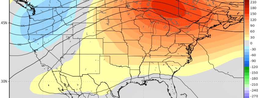
Good afternoon! While the main story in the short term is the continued cool and wet AG Belt, we are quickly going to transition to a pattern that is much hotter across much of the Eastern US. A massive heat ridge will build in the Eastern US, giving a prolonged heat wave with multiple days approaching 100 degrees in many spots. This will also be a much drier pattern for the Heartland, although the ridge’s periphery will still be able to provide moisture for the Northern Plains.

The main story going forward will be tracking the heat ridge’s progression. While it is very likely that this ridge will retrogress, figuring the exact timing and orientation of its retrogression will be key regarding the continue warm risks going forward, as well as the potential transition to cooler and wetter. A look at AAM correlations gives us strong clues regarding what this ridge will ultimately do.

If this is a product you’d like to receive on a daily basis, inquire with us here and sign up! We’d be happy to work with you.

NYC Area Forecast: Some Unsettled Weather This Weekend

Good morning! A closed upper-level low over the Midwest will track through the Ohio River Valley and Great Lakes region through this weekend. This low will open up and weaken into a broader trough as it runs into additional confluence over the Northeast US. As a result, we aren’t expecting a washout with widespread or heavy rainfall for either day of the weekend. But this storm system will certainly cause some unsettled weather at times, especially for Saturday.

Read more

NYC Area Forecast: Improving Weather Today, More Unsettled for the Weekend

Good morning! A wave of low pressure that brought some rainfall to region overnight will move further offshore this morning. This will cause any lingering showers to end and skies to clear for sunshine as the morning goes on. This afternoon and early this evening, mostly sunny skies are expected as high pressure over Southeast Canada begins to build south into the region. High temperatures will be very warm with northerly downsloping winds this afternoon–in the mid-upper 80s.

Early tonight, a weak cold front from the north will pass through the region (mostly dry). However, winds will be turning more northeasterly behind this front. This may result in a marine layer with low clouds developing later tonight along some coastal areas. Otherwise, mostly clear skies are expected through tonight. Overnight low temperatures will range from the middle 50s over the Interior areas to middle 60s over NYC and urban areas.

Read more

Weekly Planner: Record heat to start the week

Good morning! What a wonderful weekend that was. After seven straight weekends with measurable rainfall, we finally broke the streak – and the heat built into the Northeast states on Sunday, with temperatures rising into the lower 90s. The heat will actually peak today, with temperatures expected to approach record highs for the day, in the middle 90s. 850mb temperatures (about 5000 feet above our heads) will actually be a bit cooler closer 19 to 20 C today, than what models had back last week. But the surface temperatures will warm as southwesterly winds increase.

In addition to the increasing surface temperature will come rising dew points, resulting in relative humidity values much higher than they were on Sunday. Heat Index values are expected to rise into the upper 90s and eventually near or over 100°F in many spots by this afternoon, especially over Northeast New Jersey and the Lower Hudson Valley.

Read more