-2")

More Showers Today, Beautiful Weather Returns Wednesday
Unsettled weather conditions will continue today, as a cold front continues to move through the region. Skies will become mostly cloudy, and showers will begin arriving later this morning. These showers will continue for much of the afternoon and some heavy downpours are possible with a very moist airmass still in place.
Some isolated thunderstorms are also possible, but cloud cover will likely keep instability on the low side for any severe weather today. High temperatures in the 70s or lower 80s will likely be reached this morning before falling into the 60s with more clouds and showers this afternoon.

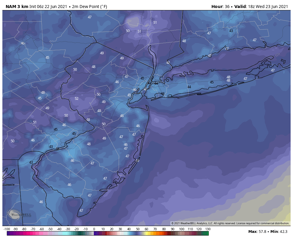
Showers will taper off late this afternoon and early this evening in the region, as the cold front pushes offshore. High pressure will cause skies to clear later tonight with temperatures dropping into the 50s and humidity levels decreasing throughout the region.
Beautiful weather with mostly sunny skies and high temperatures in the mid-upper 70s are expected on both Wednesday and Thursday, as high pressure remains over the region. Humidity will be at very low, comfortable levels for this time of year. Get outside and enjoy it , it doesn’t get much better than this during the summertime around here.
As we move into Friday and the weekend, high pressure and upper-level ridging will build offshore with more return southwesterly flow developing over the region. This will cause a warming trend and will allow humidity to increase again. High temperatures will begin reaching the 80s on Friday and Saturday and perhaps around 90 in some areas by Sunday.
Chances for scattered showers and thunderstorms may increase again early next week, especially as another frontal boundary approaches the region. While storms will be possible, it will be warm and humid with a mix and sun and clouds for most of the time each day – in other words, not a washout.
Latest guidance suggests some very warm and humid conditions will remain into the middle of next week, as the high pressure and upper-level ridge offshore will be slow to break down.