Medium Range Analysis: Severe Weather Chances this Weekend

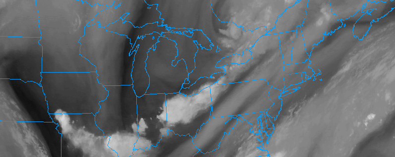
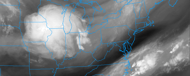
Good evening! We hope you all had a great Monday. For the most part, the area had a beautiful, summer day, but some western suburbs of NYC had some strong thunderstorms and flash flooding. These storms quickly weakened as they headed towards NYC, as the pattern right now is generally not favorable for severe weather in our area. But that may change come this weekend, when the general synoptic pattern may start to favor strong to severe thunderstorms.

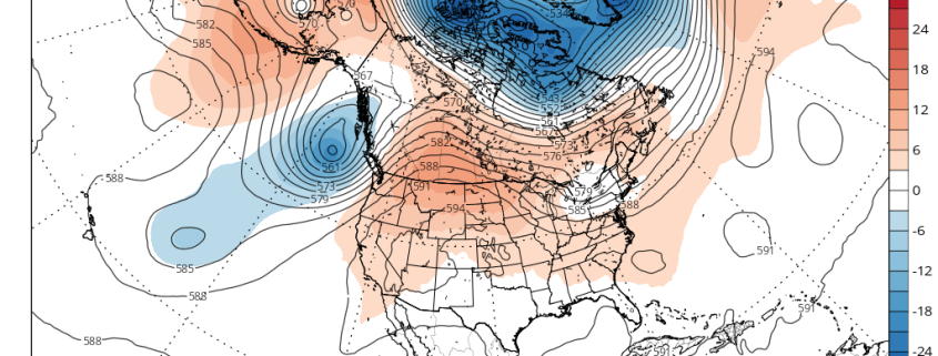
It’s pretty far out in time, so plenty can change — but at this range we like to look at general features of the pattern and what they signal, since there is inherently less noise in broader signals. One thing we like to look at is a pattern that can favor advection of an EML (Elevated Mixed Layer) into the region. The EML is a layer of very hot and dry air from around 700mb (around 10,000 feet) and up that originates in the desert southwest. This hot and dry air air is not contaminated with moisture and thus it can cool quickly with height, creating a lot of mid-level instability. These EMLs often combine with rich, tropical Gulf of Mexico moisture in the low-levels of the atmosphere in tornado alley and lead to some of the biggest severe weather outbreaks.

Read more

AM Update: Calm start, but transitional weather ahead

Good morning and Happy Monday to you all! As you make your way out the door this morning, you’ll notice a change to the sensible weather conditions in place throughout the majority of the Northeast states. You can thank a strengthening south/southeasterly flow for that — it has replaced the cooler, northwest breeze with a warmer and slightly more humid airmass. Warmer and more humid air will advect into the Northeast states for the remainder of today.

Near the coast, these southeasterly winds have already resulted in the presence of some stratus clouds along the shores of Long Island and even parts of New Jersey — with some localized fog in other locales as well. This will burn off as the day goes on, but the progression of disturbances in the mid and upper levels of the atmosphere will bring more unsettled weather into the picture by this afternoon.

Read more

Multiple strong to severe storm opportunities this week

Happy Monday Morning to you all! We’re back in action after a weekend of lovely weather, and the day will start off quite pleasant throughout the majority of the Northeast today as well. Regional observations throughout the entire region showed dry and pleasant air in place, with dew points largely in the 50’s, especially in the higher elevations of the interior Northeast where they are even lower. After a pleasant and relatively crisp morning (we use that term loosely given the lack of a humid airmass), some changes are likely to unfold today.

Read more

Premium Weekly Outlook: More active, progressive pattern this week

Good morning and happy Monday! Overall it was a beautiful weekend, especially as lower humidity settled into the region on Sunday. But a more active, progressive weather pattern is expected this week. This comes as a strong heat ridge begins building over the Rockies and Western Plains this week and the AO/NAO remains positive with lack of high-latitude blocking. This pattern will allow some ridging to build into the region this week with heat and humidity building. Multiple disturbances are expected to move from the Great Lakes/Ohio Valley through the Northeast and Mid-Atlantic, with threats for showers and thunderstorms this week.

First off,  high pressure will be moving off the Mid-Atlantic coast, with a return southerly flow developing over the region today. Mostly sunny skies are expected this morning, then some clouds will be increasing and filtering the sunshine as a warm front approaches.  Humidity will begin increasing later this afternoon as dew points rise into 60s. More lift and instability ahead of warm front may lead to a few isolated showers or thunderstorms popping up over the region later this afternoon. Temperatures will rise into lower to middle 80s area wide. South-southwest winds today will allow for sea-breezes to keep coastal sections in the 70s much of this afternoon.

Read more