First Accumulating Snow of the Season Becoming Likely for the East Coast

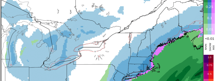
Good afternoon! In the world of weather, there has been a lot of model mayhem regarding a big shift in the data further northwest with a coastal storm, which is leading to the idea of accumulating snow across much of the Eastern US on Saturday. We believe that these ideas have a lot of merit, and in this article we are going to explain why, as well as overview some of our expectations.

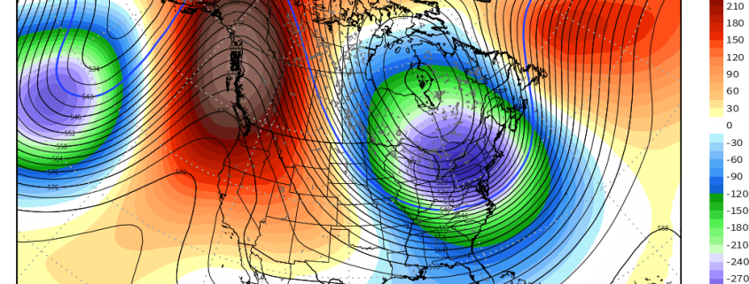
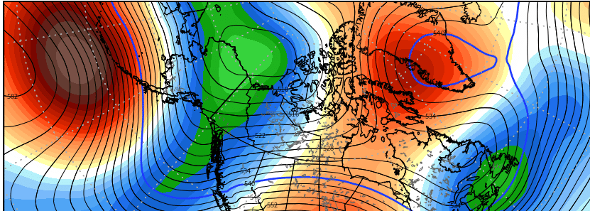
In the macro sense, it’s not a complicated setup. We have a large ridge in the West, and a corresponding deep trough in the East, we have disturbances sliding down the ridge and entering the trough, and we also have a relatively stalled frontal boundary off the coast, providing a strong temperature gradient for a storm to ride, while also providing enough ridging in the Atlantic to keep the storm from sliding out to sea.

Read more

Long Range Update: Cold Intensifies, Active Pattern to Follow

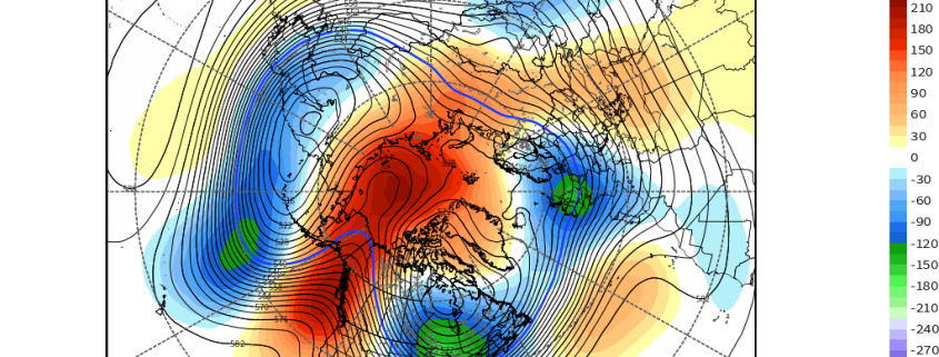
Good evening! As has been heavily advertised for a while, a pattern change to cold is now imminent, and should be able to sustain itself for a couple of weeks thanks to retrograding and deepening troughing near the Aleutians. This leads to continued downstream impressive responses near the West Coast, with plenty of latent heat release and poleward ridging. This will dislodge a couple of shots of Arctic air into the Eastern two thirds of the US — into a lot of the major markets.

While the first shot of colder air later this week and weekend will be impressive in some spots, it is the second shot of colder air around the middle of next week that should be much more impressive, as it will truly have an Arctic source region, thanks to the poleward ridging. There will be a nearly direct pipeline due north to south from the Arctic for this cold air to plunge towards the US.

The above video explains this progression and highlights the significance of this cold. We also discuss the potential for moderation late in the month, and how the Pacific Jet extension that may cause this moderation could lead to a major winter storm somewhere in the East as we get closer to the Holidays. Additionally, we discuss the potential for other winter storms in the more near future, though their significance may be limited by a lack of good wave spacing.


Extremely Amplified Pattern Will Set the Stage for Arctic Cold

Good evening! The changes to the pattern have been discussed for a while, but now that the model data has finally caught on, things are starting to truly get interesting and we can entertain possibilities.

An initially very zonal pattern will quickly become very amplified thanks to changes with a train of waves in the Pacific and a traffic jam of waves building in the Atlantic. Eventually this forces an amplified ridge in the Pacific to build towards the Arctic and dislodge plenty of cold into the Eastern half of the US, as the corresponding deep trough will have nowhere to go thanks to the aforementioned traffic in the Atlantic.

The video below has all of the details on the coming cold, its severity, and potential duration. It also discusses potential winter storm threats that may arise in the pattern.

Read more

Why might forecast models be diverging with the long range pattern?

Good morning! The past several days have been quite active in the meteorological community.We began last week on the tail end of a pattern featuring stagnant warmth, with ridging in the Eastern United States and cold air bottled up in Western Canada and the Pacific Northwest. A well advertised change has occurred since that time, however, with cold air surging southeastward into the Great Lakes and Northeast States.

Read more