-2")
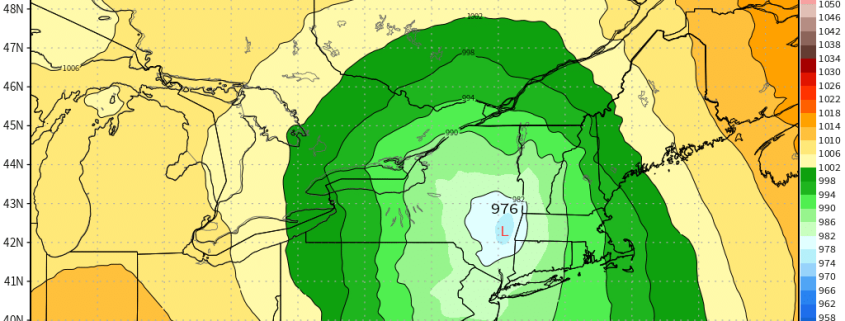
Cold shot increasingly likely in the Northeast this weekend
A few weeks ago, while stagnant warmth continued to sit stubbornly East of the Mississippi River, the hemispheric weather pattern underwent a significant change. A pattern in the Pacific Ocean that had (not coincidentally) also been stagnant, finally budged. A large-scale retrogression of the wave pattern resulted in a dramatically changed pattern both in the Pacific and throughout the United States.
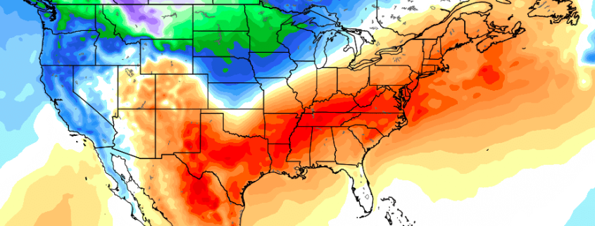
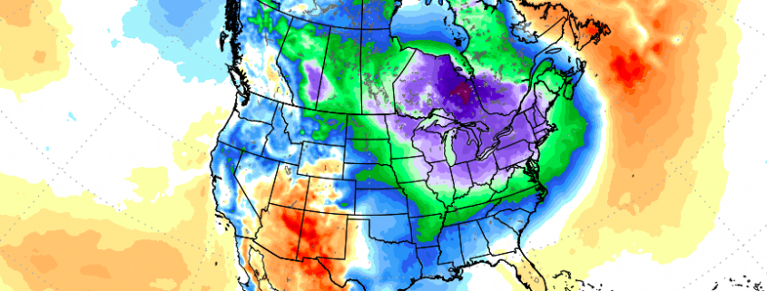
Two weeks later, an anomalous ridge has formed in the North/Central Pacific Ocean (known more affectionately as a -EPO) and has effectively dislodged arctic air from the higher latitudes into British Columbia, Western Canada, and the Northwestern United States. This has resulted in a large, persistently colder than normal temperature anomaly across these regions.