Cooling Trend into this Weekend for the Northeast, Warming Up Again Next Week!

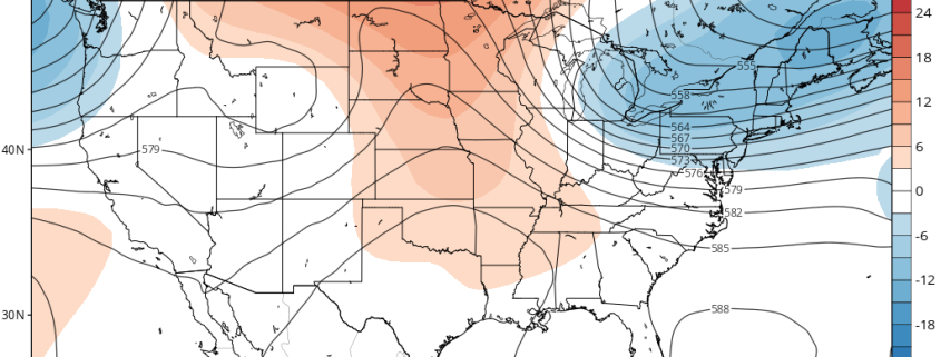
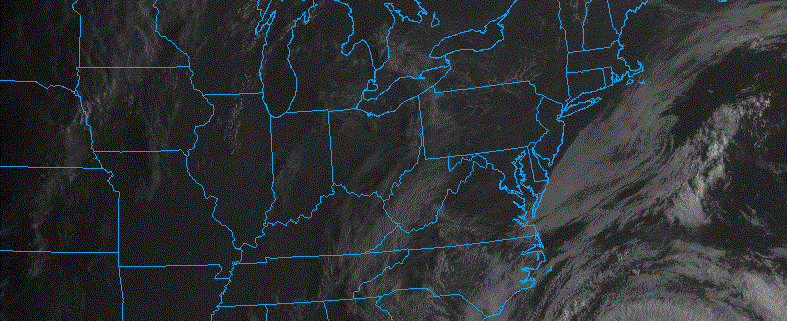
Good morning! Our warm and muggy pattern comes to end today. A cold front has passed through early this morning. Temperatures may hold steady or slowly falling for rest of morning, before rising again into the mid-upper 70s with lower humidity this afternoon. Plenty of sunshine and breezy conditions are expected today. Northerly winds will be sustained around 15 to 20 mph with higher gusts up to 30 mph possible this afternoon and early this evening.

Mostly clear skies will continue into tonight. As a cooler, Canadian airmass begins to settle into the Northeast, temperatures will drop into the mid-upper 50s over more urban and coastal areas and upper 40s to lower 50s over Interior areas. Winds will also gradually diminish overnight, as the pressure gradient over the Northeast weakens. But more ideal radiational cooling conditions aren’t expected. On Friday, weak high pressure over the Northeast will support plenty of sunshine for most of the day. But a cooling trend will continue, with high temperatures only into the upper 60s to lower 70s. Which is actually closer to seasonal levels for this time of year.

Read more

Cooler Weather Returns by This Weekend Over the Northeast

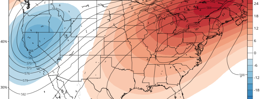
Good morning! Today will be another very warm and humid day, as mid-level ridging remains over the Northeast. Some low clouds and patchy fog again in some spots early this morning, should gradually burn of during the next few hours. Then more sunshine filtered by some high clouds, well help temperatures rise to well above normal again this afternoon. Highs will be the mid-upper 80s, away from the coast. Easterly winds may will keep some coastal sections cooler, perhaps only mid-upper 70s or lower 80s for highs.

A large mid-upper trough moving in from the Midwest and Great Lakes, will finally break down the ridge for rest of the week.  A cold front associated with embedded shortwave energy along this through, will be approaching by tonight. Some showers and thunderstorms are still possible with some weak instability building ahead of the front, mainly over Interior parts of the Northeast later this afternoon and evening. But a lack of moisture and dynamics will keep this activity mostly isolated or widely scattered in coverage.

Read more

Summer-Like Warmth Continues, Hurricane Maria Stays Offshore This Week

Good morning! More summer-like weather from the weekend will continue today, as strong mid-level ridging continues to be over the Northeast and Mid-Atlantic. It will be hot and humid for late September with plenty of sunshine for today. More sea-breezes developing this afternoon, may keep temperatures a little cooler than on Sunday, especially closer to the coast. But high temperatures will likely reach the mid-upper 80s in many areas again. Some inland spots could reach around 90 degrees again. These temperatures will likely be a few degrees short of record highs for today.

Read more

Jose Impacts on the New England & Mid-Atlantic Coasts

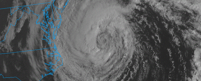
Happy Tuesday! Hurricane Jose remains well offshore. But will still have some relatively minor impacts over coastal parts of the Northeast and Mid-Atlantic over the next few days or so. Meanwhile, more attention has turned to Hurricane Maria which has become extremely powerful Category 5 hurricane, as moved over Dominica last night. Puerto Rico and the Virgin Islands may take a direct hit from by Wednesday. But this article, will mostly discuss impacts from Jose

Based on latest observations and model guidance, Hurricane Jose will be tracking further southeast of the 40/70 benchmark, than previously expected. So only some outer fringe rain and wind impacts are expected for most coastal areas of between the Delmarva and New England through Wednesday. Showers and breezy conditions are generally expected, as outer rainbands from Jose push inland from off the ocean. Some locally heavier downpours with possibly higher wind gusts to around 40mph, especially along the New Jersey, Delaware and Long Island shores. But true tropical storm conditions aren’t largely anticipated.

Read more