AM Update: Coastal storm skirts by, summer heat looms

A day which once looked lost to the soggy rains from a coastal storm will turn out quite alright, and the weekend that follows will be the warmest of the year. We come bearing good news this morning, because that day is today and the weekend that follows is just over the hill! Yes, we are finally on the tail end of a drawn out dreary, rainy and cool pattern which was brought into our area by the presence of high latitude blocking.

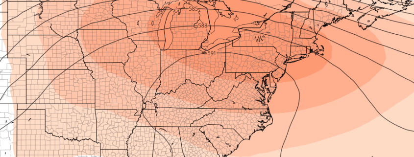
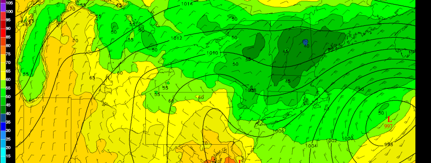
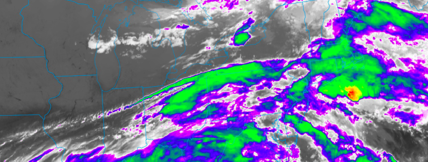
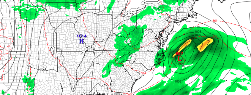
A coastal storm system will skirt the region to the east today, with heavy rains off the Mid Atlantic and Northeast Coast from today in tonight. As this low pressure system develops, swinging eastward alongside a large trough sitting over the Northeast States, rising air is likely to its northwest. This will produce heavy rain offshore, but also allow sinking air (subsidence) to spread into the Northeast during the day.

Read more

One more bout of unsettled weather before summer-like weather arrives

That old “light at the end of the tunnel” saying couldn’t be more applicable than it is right now. After several dreary days, and four of five weeks overall featuring unsettled conditions, forecast models suggest that we are finally near the tail end of the cooler and unsettled weather pattern. Isolated showers continued today but many areas were able to see breaks of sun with temperatures averaging several degrees warmer than this time yesterday.

The trend is expected to continue on Thursday, when the Northeast states will luck out during a very close call with a coastal storm system. A disturbance rotating around a larger upper level low, which is still meandering near the Northeast States, will aid in the development of a coastal storm on Thursday. The orientation of the upper level low luckily appears to guide the storm system seaward.

Read more

Onshore flow and Unsettled Weather Remains, but Light at the End of the Tunnel

Good evening, everyone! Unfortunately, the onshore flow and unsettled regime from the past several weeks has re-entrenched itself across the area, giving our area plenty of clouds, fog, drizzle, as well as scattered showers and thunderstorms. But as we mentioned in our premium article on Saturday night, there would be some subsidence in the area between a departing coastal storm and the core of a mid-level disturbance well to the northwest. This is why our area is not seeing any rain right now. However, plenty of deep onshore flow will keep a lot of low-level clouds and moisture around, which will lead to drizzle and fog continuing for the night. Some of this fog could be dense along the coast, as this moisture will get trapped underneath a strong inversion aloft. Temperatures will generally remain in the low 60s for most of the overnight, and any rain and thunderstorms associated with the main mid-level disturbance will mostly remain in Orange and Dutchess counties and northward. But as the mid-level disturbance slowly pivots southeast, storms will gradually get triggered a bit further south as the overnight goes on.

Read more

Weekly Planner: Another cool, unsettled week ahead

There is a movie which has become the focus of many jokes, often describing the repetitiveness of life or certain habits. That movie is, of course, Groundhog Day, where the same sequence of events continues to unfold (in slightly different fashion). We’ll save you the lame joke and simply go with this: Another cool and unsettled week of weather is ahead in the Northeast states. An upper level low is forecast to meander across the region, keeping opportunities for rain and storms in the forecast.

With the cooler upper low overhead, temperatures will average cooler than normal for the majority of the week. However, there is finally some good news on the horizon. A changing pattern in the Pacific Ocean looks very likely to shift the upper level pattern downstream across the United States, and within 7 to 14 days time, a large ridge of high pressure could become the dominant force in the Northeast US’ weather pattern.

Read more