-2")
Update on Sunday into Monday’s Rain Event
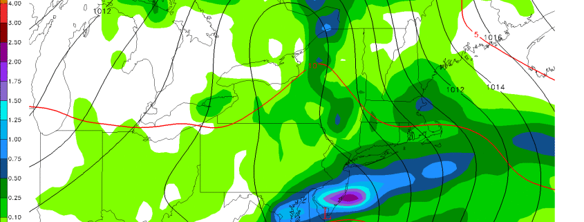
We hope you’re having a great weekend so far! This article is going to be a quick blurb on the latest regarding the upcoming rain event. It still appears that most of Sunday’s batch of rain will miss to the north, as most of a small shortwave will miss to the north and get shredded out when it tries to approach our area. The thermal gradient via a warm front will be quite impressive, which will lead to a lot of lift in the atmosphere. Thus, some heavy showers and thunderstorms are possible in our northern suburbs from northern Westchester County on northward — perhaps more focused on Orange and Dutchess Counties or even further north, where some heavy rain is possible.
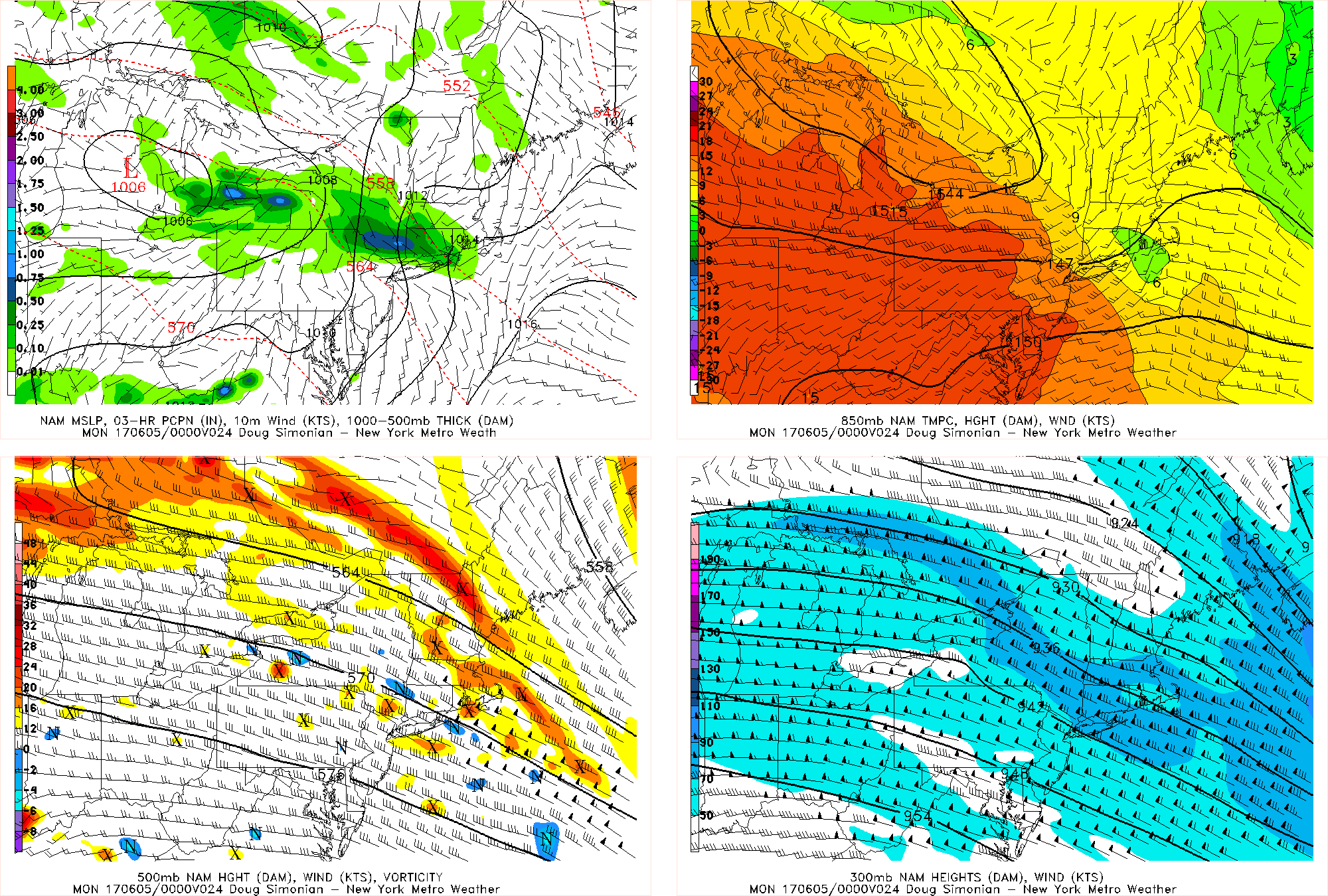
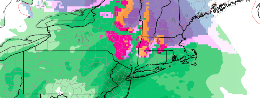
The NAM model valid for Sunday afternoon shows some heavy rain in northern suburbs along a tight 850mb gradient.