-2")
NYC Area Forecast: Increasingly warm as large ridge returns
Fall weather settled in to the Northeast states this week, with temperatures near seasonal averages and pleasant sky conditions. We hope you enjoyed it while it lasted, as notable warmth is set to return as the week goes on.
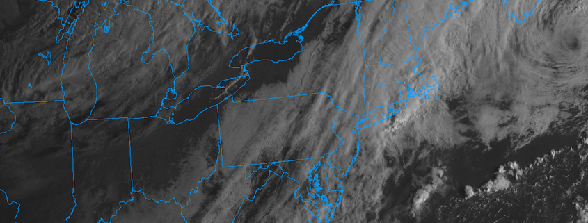
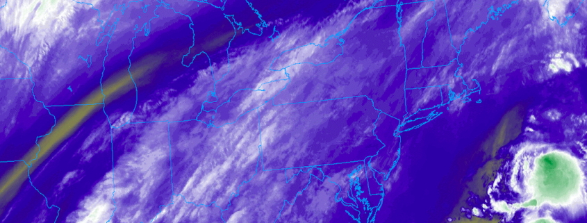
Changes are afoot, and they will begin with clouds and showers from late Monday into Tuesday. A disturbance is expected to pass through New England during that time, with just enough lift to produce precipitation throughout much of the Northeast states – mostly in the form of scattered showers through Tuesday morning.
Tuesday
NYC Area Brief: Partly cloudy, then a chance of showers and storms late. Outside chance of a stronger storm. Highs in the upper 70’s.
The potential exists for a few strong to severe thunderstorms on Tuesday afternoon. This appears particularly possible in the interior, from parts of Pennsylvania into New York State and Northern New Jersey, where instability will be greater and will align with moderately favorable wind shear. These are two important ingredients for the development of strong or severe thunderstorms.
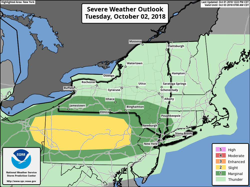
The Storm Prediction Center has accordingly placed parts of that region in a “Slight Risk” for severe thunderstorms from Tuesday afternoon to Tuesday evening, with the potential for some stronger winds, lightning and perhaps even an isolated tornado. A “Marginal Risk” is now in place further east over the Hudson Valley, Northern New Jersey and New York City where a few isolated strong or severe thunderstorms are possible by Tuesday evening. The threat is expected to wane near the coast, but showers and clouds are still expected throughout the day.
The severe weather threat seems particularly modulated by cloud cover and moisture in the warm sector, which will tend to limit the instability development. It will have to be carefully monitored through Tuesday morning – as how unstable the atmosphere gets will ultimately impact the degree of severe weather potential.
Wednesday – Friday
NYC Area Brief: Pleasant, warmer, no real threat of precipitation. Highs in the upper 70’s in the ‘burbs, lower 80’s near the city. It’s gonna be great.
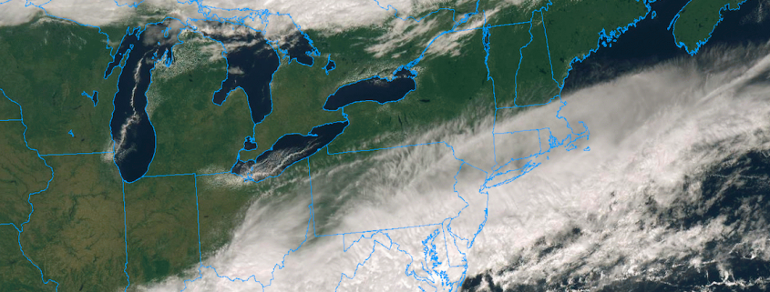
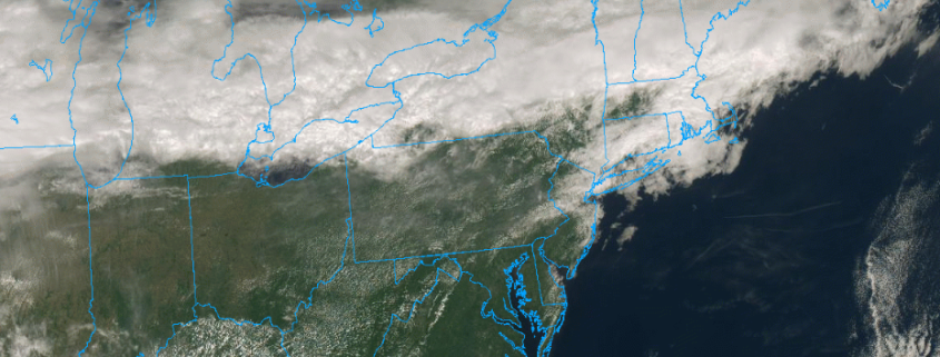
After a frontal boundary passes on Tuesday evening into Wednesday, the weather is expected to noticeably improve throughout the Northeast states. It will also become noticeably warmer as the days go on, with high temperatures rising each day as we approach the weekend – into the middle 80’s – which is solidly above normal for this time of year.
The good news is that generally pleasant weather is expected during that time as a large mid level ridge expands throughout the Eastern part of the country. Southerly flow will increase in the low levels of the atmosphere, which will promote warmer temperatures advecting into the Northeast states. Ridging is then expected to expand even further by the time this weekend approaches.
Weekend and beyond
NYC Area Brief: Increasingly warm, temperatures well above normal. More like summer than Fall. A few storm chances – humidity up as well.
Forecast models are in good agreement that a highly anomalous ridge will build from the Central to Eastern USA this weekend. A deep trough is expected to push into the Four Corners/Intermountain West, aided by a major pattern adjustment in the North Pacific Ocean. This will in turn aid in strengthening the ridge over the Eastern USA.
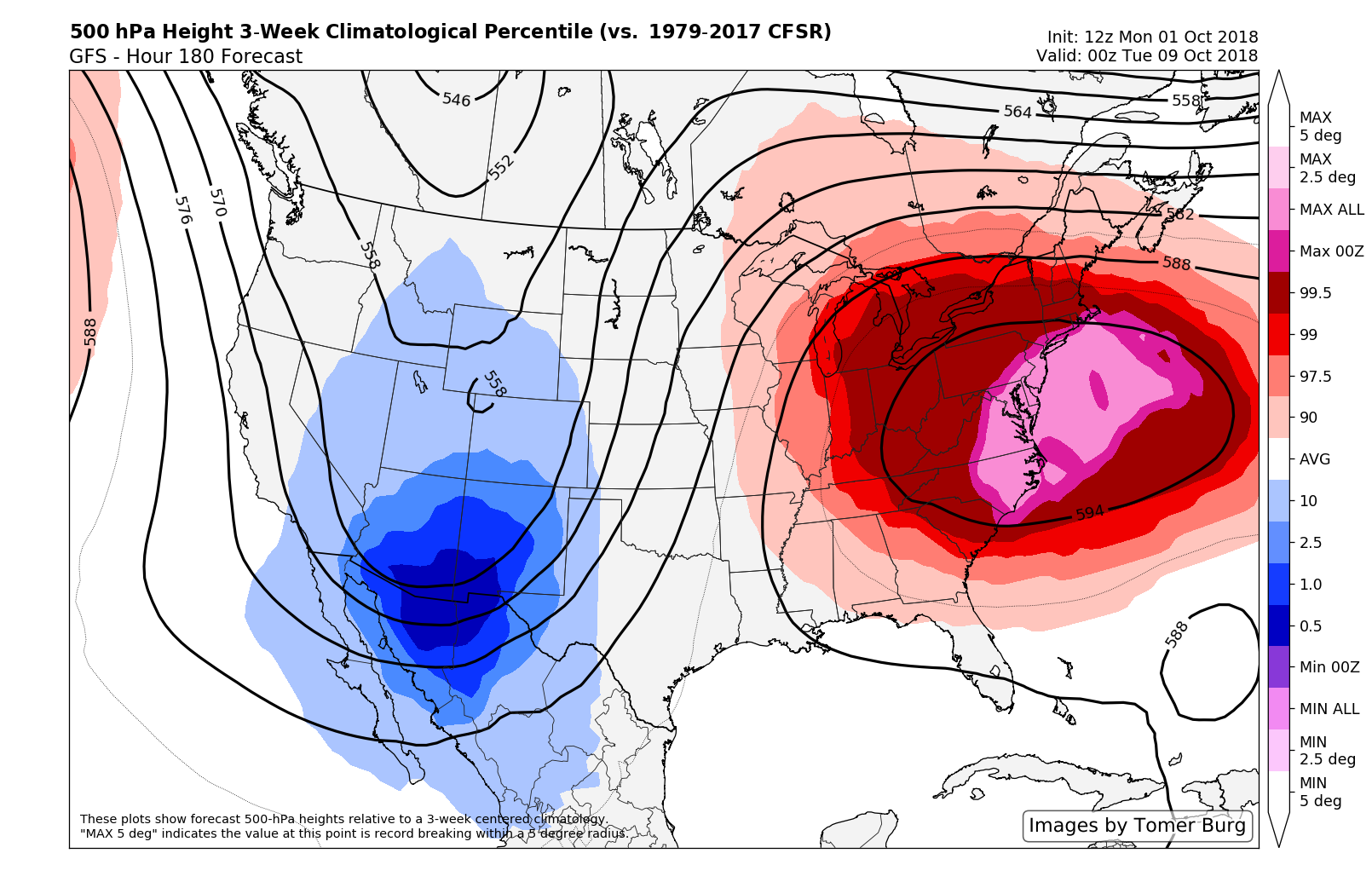
In fact, models suggest that ridge which develops across the Eastern USA could lie on the outer periphery of climatology for this time of year, in the top 10 of the 99th percentile of mid level ridges that have ever occurred during this time of October in the Eastern United States. It goes without saying that such an event would be significant – and it’s no surprise that models are showing such expansive warmth.
There will the potential for a few episodes of stronger thunderstorms as well, but it remains highly uncertain when those events would occur, as individual disturbances are far too intricate to pin down at this time.