Transitional weather, moderating temperatures this week

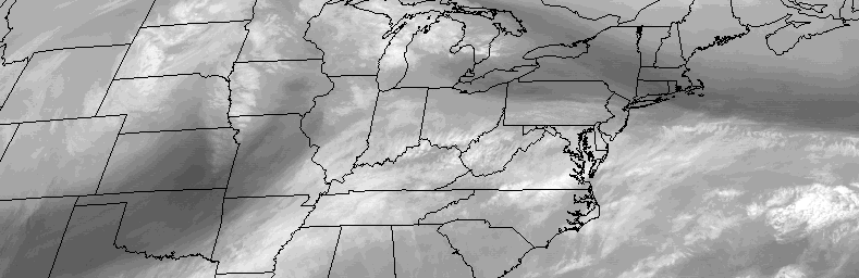
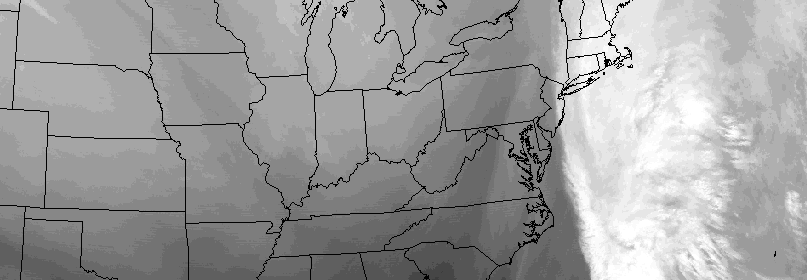
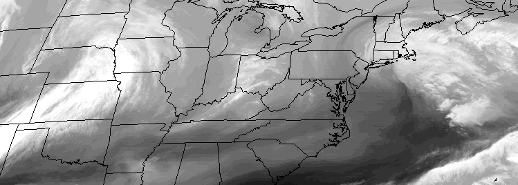
While meteorological winter began just about a week ago, it hasn’t shown its face yet. It doesn’t appear that it will for quite some time.

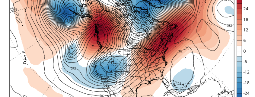
An active, but progressive and warm, weather pattern is expected to continue over the next several days. Mild Pacific air will continue pouring into the Continental United States and, most notably, the cold air we are used to seeing infiltrate our area this time of year will remain bottled up in Northern Canada. While a few disturbances are likely to impact our area, the general pattern will remain progressive and no significant storms are likely.

Read more

Cool start, unsettled trend by midweek

The week will begin, to the disappointment of many, with colder weather behind a front which shifted through the area on Sunday morning. The anomalously warm, and almost spring-like, airmass which settled into the area during the latter half of last week and this weekend will have been shunted southward. Behind the front will come cooler, less humid air. Monday morning is likely to be quite crisp, with low temperatures in the 20’s and 30’s away from the coast and in the mid 30’s even in the city.

The week will be marked by a transitional weather pattern, beginning with cold air and ending with a gradual warming trend. In between, periods of rain and unsettled weather are expected during the middle part of the week. A low pressure system moving through the Mississippi Valley and eventually reforming off the East Coast will be to blame, with increasing moisture and lift for precipitation by Tuesday and Wednesday.

Read more

Fair, seasonable weather likely on Thanksgiving

A progressive weather pattern, which has brought us unsettled weather during the middle part of the week many times this past month, will finally give us a break. Fair and seasonable weather is expected for Thanksgiving, with no significant weather hazards anticipated during the major travel days before or after the holiday, at least in our part of the country. Precipitation won’t make its way back into the forecast until later Friday Night into Saturday morning, when a cold front crosses the area.

Thanksgiving week will be marked by a transition back to normal temperatures, after a very cold start. Temperatures in the 20’s on Monday morning will only reach into the 40’s during the afternoon, as a very cold airmass settles in to the region. Temperatures aloft are quite cold, even for this time of year, and we certainly will feel the effects of that. The blustery northwest winds during the day won’t help, either.

Read more

Weekly Outlook 11/22-11/28: Cold Start…Mild Finish

A cold front with limited moisture available will move slowly east of the region today. A wave of low pressure developing off the Southeast Coast will stay well offshore as well. However, our area will fall underneath the right-rear entrance region of a 130kt+ upper-level jet streak with an amplifying upper-level trough associated with the cold front. In simpler terms, this enhances lift in our region — aiding in the development of showers later today and tonight. A period of steady light or moderate rain is even possible for Eastern Long Island and Southern New Jersey, if the low offshore comes close enough.

With the offshore coastal storm aiding in the development of clouds as well, temperatures will stay generally capped in the 40s to lower 50s. Cold air advection increases during the day as well, which will bring temperatures down into the 30s and 40s by later this evening throughout the area.

Read more