First snow of the season tonight for many

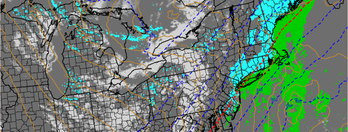
No, this is not going to be a crippling winter storm. But the first true taste of winter is on its way tonight, as rain is likely to change over to snow in most locations.

A few days ago, most computer modeling data had little-to-no precipitation at all for the area. But that has changed over the past few days, as guidance has picked up on a few features which will increase the dynamics of the atmosphere tonight.

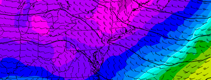
A potent mid-level disturbance is moving through the Great Lakes and into Western Upstate NY. This helps to strengthen the jet stream in New England over 130 knots, which helps to favor lifting in the atmosphere for precipitation. Additionally, this disturbance is triggering another shot of cold air advection, which is running into the warmer Atlantic Ocean, which also aids in the development of precipitation.

Read more

Cold arrives, period of snow follows Thursday Night

The warmth is over. A surface cold front moving through the Northeast US has reached western and central parts of the forecast area this afternoon, and it will continue to slide eastward tonight. Southeasterly winds, which brought in fog and drizzle as well as warm temperatures in the 60’s this morning, will flip to drier northwesterly winds, and a colder airmass will surge in. Forecast models are in good agreement that temperatures will drop this evening, well into the 30’s overnight tonight. But the core of the cold airmass moving southward won’t settle into our area until this weekend.

It’s not until Thursday afternoon, when a secondary cold front passes eastward, that the surge of cold air will become noticeable. Northwest winds will become blustery and temperatures will struggle out of the 40’s for highs. But more notably, high clouds will begin to increase from the southwest. The culprit? A weak disturbance riding along the front which will, by Thursday night, be to our southeast. The disturbance will kick off a very weak low pressure system in the Western Atlantic. Weak lift for precipitation will pass over our area on Thursday Night — supporting the development of some precipitation.

Read more

The science behind a wintry intrusion this week

Any time the pattern gets as anomalous as it is forecast to get over the next several days, a meteorologist’s job becomes very interesting. We can either simply say “It’ll be very cold this week”, or we can take the time to explain the science behind it. We’ll choose the latter. The pattern change, which will undoubtedly be noticeable by the middle to end of the upcoming work week, is occurring as a result of several impressive atmospheric events. Global circulations are changing the pattern — and it will be a sight to see. But the change goes far beyond the fact that unseasonably low heights will dip into our area by Thursday morning.

The pattern is already unbelievably anomalous well to our west, over the Northeast Pacific and British Columbia. The extratropical transition of Typhoon Nuri and its phase with a piece of Pacific Energy led to a tremendously anomalous trough — and an incredibly strong storm system with minimum central pressures down to 924mb (The strongest storm in the history of the Bering Sea and the North Pacific). But, more importantly, the anomalous storm system is amplifying a tremendous ridge to its east over the West Coast of the United States, northward into British Columbia and toward the poles.

Read more

Rain likely tonight and tomorrow, but not a washout

Warm and moist air continues to stream into the region as a strong southwest flow throughout the atmosphere has taken over. These southwest winds are on the leading edge of a storm system that is developing in the Ohio Valley, and will bring us some light rain tonight, and periods of moderate rain tomorrow.

What had initially looked like a much bigger rain event has toned down somewhat on recent guidance. This is for two reasons:

1) The secondary redevelopment is a bit too late and the storm will be somewhat disorganized at our latitude. It will not truly get going until it’s to our north.

2) The track of the system looks to be directly over NYC. This means that the heavier stratiform precipitation should be west of the city, but the warm conveyor belt rains with the low-level jet should be east of the city.

Read more