Posts

PM Update: Improving conditions, unsettled long range

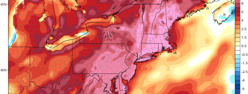
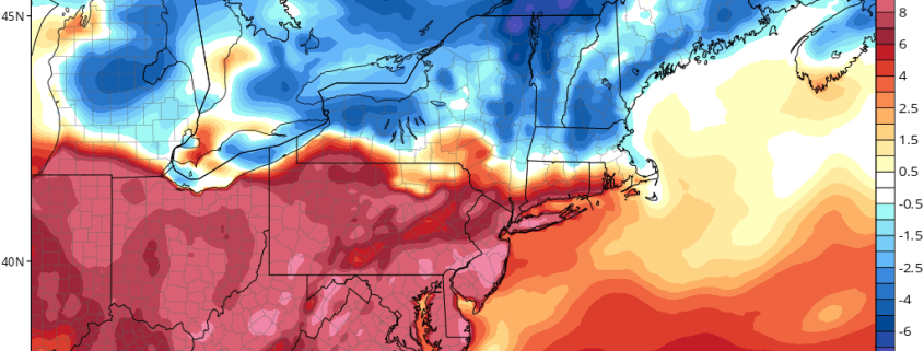
Good evening! We hope you all had a wonderful Saturday – the second half of the day turned out nicer than the first, as expected. A large coastal storm system which affected the Mid Atlantic states yesterday is gradually shifting away from the region, and will continue to do so through tonight. This will open the door for higher pressure to move into the Northeast states tonight, with temperatures remaining solidly below average for this time of year.

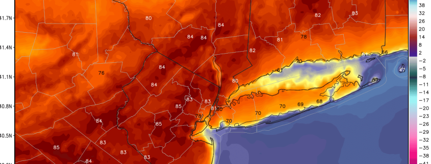
Gradual improvements to the weather forecast are expected to continue into Sunday, as high pressure builds further into the region. Temperatures are expected to rebound, with a warmer flow gradually developing into the Northeast states. Highs will be several degrees warmer on Sunday than they were today, reaching the middle 80’s in many areas away from the immediate coast.

Read more

All Zones Late AM Update: Cooler for Late Week, Warmer with Possible T-Storms Easter Sunday

Happy Wednesday! More clouds and scattered showers are likely over the region, as a cold front and shortwave trough move through. Some weak instability could lead to some isolated thunderstorms and heavy downpours. There is a low chance that the Yankees vs Rays game in the Bronx could be delayed today. But most of this activity, may remain just north and west of NYC, where forcing is likely to be stronger.

Read more

AM All Zones Update: 80s Inland Today! Cooling Down Rest of the Week… Some T-Storms Easter Sunday?

Good morning and Happy Tuesday! A taste of early summer weather in store for region today, as strong ridge continues to dominate over the region. Mostly sunny skies are expected today. A deeper southwest flow with 850mb temperatures 14°C to 15°C will support highs lower to middle 80s, much of NJ, NYC and the Lower Hudson Valley. Some records highs may be jeopardy across the region, including Newark at 87 and Central Park at 84, both from 1955. Meanwhile southwest winds and sea-breezes off the colder ocean and sound, will once again keep areas closer to coastline cooler in 60s to lower 70s for highs today.

Read more

3/24 NYC & South Zones AM Update: Warmer Through Saturday, Cooler by Sunday

Happy Friday! Today will see a mixture of sunshine and clouds. A warm front and shortwave is currently producing some light wintry mix over Interior NY and PA. But much drier-air in low-level could cause this precipitation to diminish as moves southeast. Low and mid-level temperatures have also warmed enough to support mainly rain by time reaches coastal sections. High temperatures will be mid-upper 40s to near 50.

Read more