-2")
Winter Forecast 2014-2015
View the entire 2014-2015 Winter Forecast in a PDF file by clicking here.
You can also download it here.
Primary Methodologies and Variables of Examination
- El Nino Southern Oscillation (ENSO)
- North Atlantic Oscillation (NAO)
- Arctic Oscillation (AO)
- East Pacific Oscillation (EPO)
- Siberian/Eurasian Snow cover and Stratospheric Warming
- October Greenland Blocking
- Pacific Decadal Oscillation (PDO)
- Sea Surface Temperature Anomalies (SSTA)
Explanation of Variables
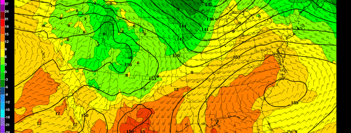
Over the past several months, our forecasters have monitored the above variables (plus others) and the trends in their behavior. We will be utilizing the above variables and indices, as well as their abbreviations, throughout the winter forecast. These variables reflect the atmospheric circulation patterns for certain geographical areas. For example, the AO refers to patterns within the Arctic Circle. The NAO refers to pattern characteristics in the North Atlantic, the PNA in the western part of North America, the PDO in the Pacific Ocean, and the EPO in the Northern and Eastern Pacific Ocean.
Typically, negative AO, NAO and EPO values correlate to enhanced high latitude blocking and high pressure to our north while lower pressure areas and troughs usually form underneath that high latitude ridging in the middle latitudes. In contrast, positive AO, NAO and EPO values generally yield lower pressure and less blocking to our north, while higher pressure and more ridging tends to build into the middle latitudes. There are exceptions to the rule, but generally the negative state of the above listed indices yields colder, more snowy weather in our area during the winter months.
Seasonal Forecasting Brief
Seasonal forecasting is one of the most convoluted aspects of meteorology. Not only is it a difficult task for the meteorologists themselves, but it is difficult for readers and public viewers to understand the nature of the forecast at times. The root of the problem lies in the fact that seasonal forecasting is based on many different methods — all of which have tremendous variability and low percentage verification. Seasonal forecasting begins with an analysis of current conditions and atmospheric circulations, similar to any daily forecast. Beyond this point, forecasters use variables such as sea surface temperature anomalies, analogs, and comparative methodology.
Some forecasters have detailed the mentality very well when they have stated that long term forecasting is very much about “What can go wrong” as opposed to “How will my forecast be correct”. Our job as meteorologists is to detail the aspects that have formed the foundation for our forecast, express our concerns and confidence in all aspects, and try to deliver the ideas which we have formulated as a result of our research and work in attempting to understand the patterns evolution over the next several months.
We will begin by highlighting several variables which we have researched. Each variable will be listed with a conclusion and prediction on its state during the winter, as well as the methodology and reasoning behind that forecast.