PM Update: Slightly cool, but pleasant evening

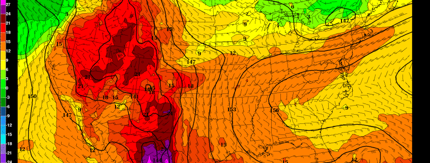
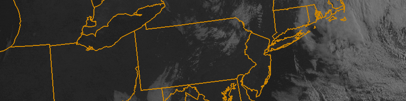
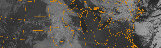
Behind a backdoor cold front, which pushed through the area on Wednesday evening, temperatures stayed cooler on Thursday. A cool, onshore flow can be thanked for that. Luckily, most of the clouds which plagued the area during the early part of the day will move out during the later evening and overnight hours of Thursday, so a generally pleasant evening is expected. Any scattered shower and thunderstorm activity will remain off to our southwest, in the Mid Atlantic States.

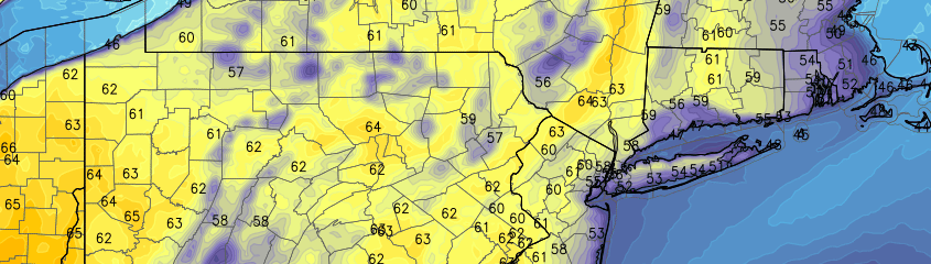
Temperatures, however, will stay cool and the onshore flow will continue pushing marine air into the area. This is often a relentless characteristic of Spring in these parts, but it doesn’t make it feel any less chilly! Temperatures will fall into the 40’s overnight Thursday into Friday morning, with east/southeast winds continuing through Friday.

Read more

Growing signal for extended period of warmth starting next week

The grass is finally green, the trees are finally blooming, and Spring is finally here. Today is shaping up to perhaps be the nicest day of the year, with temperatures in the mid 70s with mostly sunny skies. Still, though, we have yet to have more than a couple of days in a row of truly spring-like weather, and one of the main reasons that April has been above average in temperatures is because of warm overnight lows, rather than a truly warm stretch of afternoon highs. Fortunately, this is about to change.

Before that, we’re going to have a 3-day period of somewhat chillier weather on Thursday through Saturday, as a coastal storm passes by and brings us onshore flow. However, this storm is expected to stay far enough away from us to avoid any direct impacts, other than increased clouds, a few scattered showers in an otherwise dry and partly sunny regime, and chillier temperatures.

After this storm departs, a building ridge across most of the US will finally press its way northeastward into our area, starting on Sunday.

Read more

Pleasant midweek weather takes hold

After several days of unsettled conditions, pleasant weather will take hold once again during the middle part of the work week. High temperatures which reached barely into the lower 60’s on Monday will moderate a bit on Tuesday, with high pressure remaining in control. Warming temperatures in the mid levels of the atmosphere, partly cloudy skies and light northwest winds will mean temperatures rising into the mid to upper 60’s in many locations. As always, it will be a bit cooler near the coast. But the light offshore winds will keep any major seabreeze or marine impact at bay (no pun intended) for the time being.

Wednesday looks warmer than its predecessor, with further airmass modification and warmer air aloft. Highs may approach the 70 degree mark in the usual warm spots — and light winds with partly cloudy skies will keep it feeling warm and pleasant for the majority of the day. The same may be true for most of Thursday, although increasing clouds late in the day will be a harbinger of things to come as a large and energetic upper level trough begins to dive southward from Canada into the Great Lakes and Ohio Valley late in the day.

Read more

Cool Friday will lead us into a pleasant weekend

Yes, it was cold out this morning. Temperatures fell into the upper 20’s in the interior early on Friday morning, and the middle to upper 30’s nearer to the city. Urban heat allowed for many areas to stay closer to 40. Regardless of the exact numbers, it was very chilly and a few mangled snowflakes even made it down to the surface as a very weak disturbance kicked off some showers and snow showers this morning. This weather resembles March more than late April, for sure.

The good news is that over the next 24 hours, things will improve. Despite a continued colder than normal pattern, a mid level disturbance will slide south of the region on Saturday. A modifying airmass will allow for temperatures to warm up in the mid levels and at the surface by Saturday afternoon. Think of it this way: An airmass that surges into our area from Canada, this time of year, can’t maintain it’s severity if it’s cut off from the source of the cold air. This allows the airmass to modify to its surroundings, hence why cold air like what we saw this morning doesn’t typically last more than a day or two.

Read more