PM Roundup: Changeable weather ahead of cold front

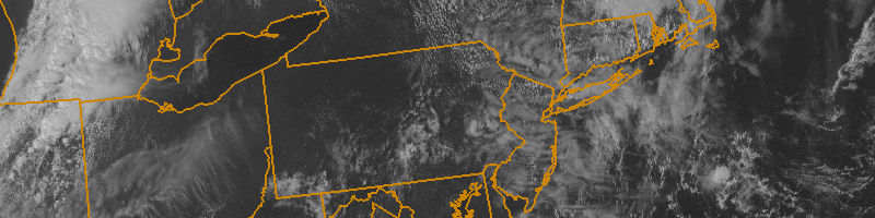
While forecast models initially suggested clouds and showers for much of the second half of this weekend, sensible weather conditions turned out to be quite pleasant. Warm ocean waters can partially be thanked for that, as even east winds weren’t able to advect in a cold and damp marine layer. Most notably, showers and thunderstorms stayed away from our area for the most part — leading to pleasant conditions on both Saturday and Sunday. An elongated cold front will finally make its approach to the area late Monday into Tuesday, with cooler and less humid air arriving behind it. In the meantime, changeable weather is expected ahead of it on Monday. Highs will again be in the 80’s, and after some early clouds, the sun will return — with scattered showers and storms by afternoon and evening. Some highlights of the weather over the next few days are included below:

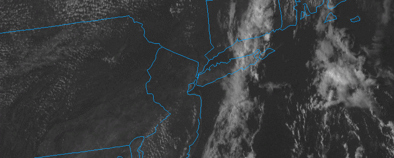
  • The weather will remain warm, with dew points back into the 60’s, on Sunday evening. Overnight, some clouds and showers may push inland from the ocean waters as surface winds turn easterly.
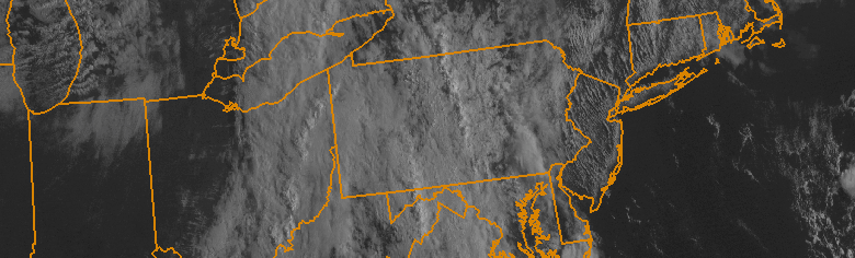
  • Monday will feature partly cloudy skies after some early clouds. Temperatures and dew points will again be high. A few scattered showers and storms are possible during the afternoon and evening hours.
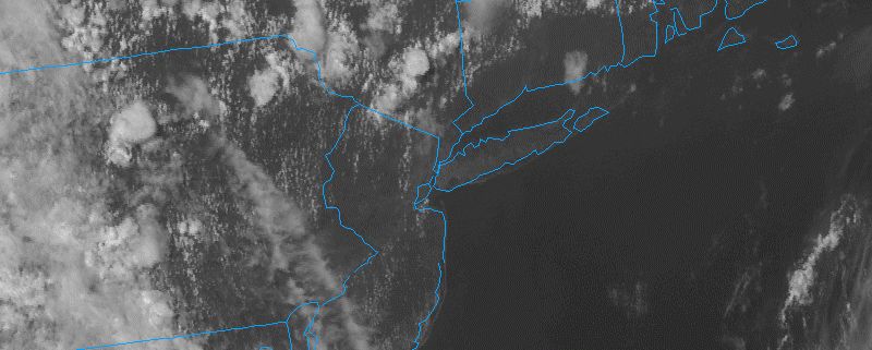
  • A cold front approaches Monday Night into Tuesday. Models are inconsistent with its timing — some take it through the area early Tuesday, others delay it until Tuesday afternoon. Regardless, cooler air will be on the way by Tuesday Night into Wednesday with lower humidity values as well.

PM Roundup: Heavy rain shifts east

After many areas had a soaking rainfall earlier this morning, most of the rain has moved offshore. JFK was the big winner in the rainfall department, recording 2.50″ of rain during the overnight.

What’s happening now is that the frontal system which has been triggering the rain has moved eastward. But thanks to some ridging in the Atlantic, it has slowed down dramatically. This has led to bands of rain hitting Suffolk County and eastern Connecticut, while dry air has filtered in from Nassau County and west, providing mostly sunny skies. Heavy downpours remain possible in central and eastern Suffolk County over the next few hours, while everyone else should remain pleasant.

While temperatures haven’t cooled off that much behind the front, it is noticeably drier. At 3:00pm in Montauk, it was 85 degrees with a dewpoint of 75; a heat index of 93. In Central Park, it was 87 degrees with a dewpoint of 58; a heat index of 86 — cooler than the air temperature! This relief is expected to last through Saturday, before the cold front actually retrogrades on Sunday and puts us back into the humid conditions.

Here are the weather highlights:

  • Clearing skies, lowering humidity, and light winds shifting from west to north will make for a very comfortable night. Low temperatures in the low 60s will be common, with upper 60s in urban areas. It will be a stark contrast to the very warm and humid nights we’ve had recently.
  • Saturday will be beautiful. High temperatures look to be in the mid to upper 80s with sunny skies and low humidity. High pressure will prevent cloud formation, thus precluding any afternoon thunderstorms.
  • Sunday will have a transition from dry to humid, as the frontal boundary inches back westward. Long Island will have dewpoints back in the 60s on Sunday morning, rising into the low 70s by the afternoon and evening. NYC and westward will have dewpoints starting in the 50s, but rising into the 60s. The increased moisture as well as a bit of lift from the retrograding front could trigger a few afternoon showers and thunderstorms. Fortunately, the front will have weakened at this point because of another approaching disturbance, so skies should still generally be partly cloudy.
  • The original front will eventually diffuse on Monday, as a rigorous trough of low pressure approaches. However, because it will have been approaching an initial post-frontal airmass, it will also be weakening. Thus, while showers and thunderstorms are possible, they are not expected to be widespread. This threat will last through Monday night.
  • The front will cross on Monday night, leading to a beautiful stretch of weather from Tuesday through next Friday. We will be near a large trough, so self-destructive sunshine is possible (instability cumulus but no rain), but temperatures will still generally be in the 80s with very low humidity. Nights will certainly have an autumn-like feel.
  • Hurricane Danny has strengthened to a category 3 storm, which is a major hurricane; the first of the 2015 Atlantic Hurricane Season. It is still expected to rapidly weaken as it heads into an area of strong wind shear; though it has already strengthened well beyond expectations. It looked particularly impressive earlier this afternoon, with very well-defined symmetry and a nice outflow channel.

Morning Roundup: Humid, unsettled weather continues

A near-tropical airmass has settled into the region over the past few days, with high dew points and temperatures in the 80’s creating uncomfortably sticky conditions. This airmass, most notably, was a major factor in the flooding rains and thunderstorms over parts of Northeast New Jersey on Wednesday. While much of the area saw little rain, isolated locations saw totals upwards of one inch, with isolated spots receiving more. Training thunderstorms produced 6.24″ of rainfall in less than 3 hours in Mountainside, NJ.

Today, the airmass will remain warm and humid with a southeasterly flow in the low levels continuing to draw in air off the ocean waters. The best forcing for thunderstorm development will remain back to our west, but a few isolated storms cannot be ruled out. These will, again, be capable of producing extremely heavy rain. The frontal boundary associated with this storm system won’t actually cross the region until Friday afternoon. Here are some highlights from around the meteorological community:

  • Torrential rains produced over 6″ of rain in less than 3 hours in Mountainside, NJ yesterday. Widespread flooding including damage to roads was reported in Mountainside and Scotch Plains. 
  • Thunderstorms with torrential rains will again be possible today, but are expected to generally stay farther west than on Wednesday. The airmass, however, will remain very humid and warm.
  • A frontal boundary associated with the storm system over the Central US will finally approach the area on Friday, with the humid and uncomfortable airmass finally scouring out by Friday evening.
  • Saturday looks likely to be a beautiful day with lower humidity, west winds, and highs in the lower to middle 80’s.

PM Update: Hazy, hot, humid

The summer continues, dragging on through the dog days of August, and weather is cooperating with the script. Temperatures today reached into the lower to middle 90’s in many locations,  with rising humidity and a hazy — yet sunny — sky. Things were a bit cooler near the coast, with southerly winds and temperatures in the 80’s. While this may seem like simply a footnote, it’s actually a sign of a changing pattern. Meteorologically, the southerly winds will back to the southeast by later Tuesday into Wednesday, out ahead of a storm system over the Central United States. These same southerly winds today pushed a convergence zone inland and triggered some thunderstorms to the north of NYC. They will most likely stay there and could cause localized flash-flooding.

As the week goes on, a frontal system will approach our area from the west, leading to increasing clouds and showers from the southeasterly flow and marine air. And by Thursday, things will be quite unsettled.

Tonight, however, the weather will remain warm and muggy. Low temperatures will again only fall into the 70’s and it will feel like another classic summer evening. With the humidity staying high, it will be quite uncomfortable to keep the windows open, so we recommend the Air Conditioning if possible.

Here are some other weather highlights:

  • While Wednesday’s showers and thunderstorms may be a tad more widespread than today’s, the best chances for one will still remain NW of NYC. The shift to southeast winds will push the convergence zone further inland.
  • The southeast winds will also make the beaches a bit cloudier, windy, and cooler on Wednesday.
  • The best chance of rain looks to be on Thursday night into Friday morning, as a large, energetic trough swings its way through. High moisture content could mean that heavy downpours are possible, but a lack of instability should keep any thunderstorms from getting too strong.
  • Thanks to offshore ridging, that trough’s associated cold front may stall near the area. This could lead to lingering chances of precipitation and more clouds from Friday night and through the weekend. Widespread heavy rainfall is not likely during this period, however, but heavy downpours will still be possible.
  • In an otherwise sea of a very quiet hurricane season, Tropical Depression #4 has formed in the Atlantic, and is expected to become a hurricane within the next few days. It is no immediate threat to land, but it will be closely monitored over the next week to ten days.