DEP issues Drought Watch for Northeast NJ

Confirming what we all have been observing with increased intensity over the past several weeks, the Department of Environmental Protection today officially issued a Drought Watch for Northeast New Jersey. The Drought Watch officially spans 12 counties and includes nearly 75% of the states population, or 6.2 million residents, including major cities like Newark and New Brunswick.

Rainfall totals over the past three months have been hovering near 50 percent of normal for much of Northern New Jersey, with ground water levels dipping significantly over that time period. The USDA warned of drought about two months ago, when they placed Northeastern New Jersey in a “D1- Moderate Drought” category. But the drought has expanded and worsened over recent weeks. In the last 60 days, the Mid Atlantic River Forecast Center suggests that Northeast New Jersey is running 51 to 75 percent below average precipitation.

Read more

Beautiful weather to return

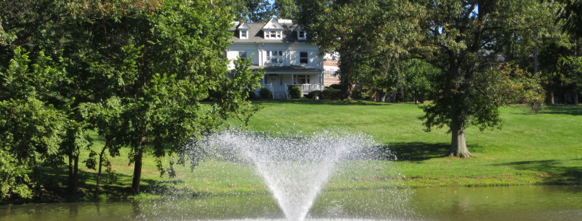
Good afternoon! After the first true autumnal cold front marched through the region on Sunday, we have had very refreshing conditions — pleasant, low-humidity afternoons, and cool, crisp nights, with widespread 50s for lows. As some would say, we have had “hoodie weather.” While a big part of that is because of the cold front ushering in a cool and dry airmass, it’s also because we have had onshore flow from a high pressure to our northeast. As we move forward to tomorrow, the flow will turn offshore, which will allow for sunnier skies and warmer temperatures.

Meanwhile, another very cool, pleasant night is in-store for tonight. Some areas well inland or in the Pine Barrens could fall into the 40s, but most areas will have lows in the 50s. Skies will gradually clear as well.

A new area of high pressure will move in from the west, which will cause the onshore flow and lead to sunnier skies and warmer temperatures tomorrow. Highs will generally be in the mid to upper 70s, with continued low humidity, crisp blue skies, and light winds as well. It’ll pretty much be the perfect day.

With the slightly warmer airmass, tomorrow night may be slightly warmer in the city than tonight, though it’ll still be quite the refreshing night with lows in the low 60s. Most other areas will have ideal radiational cooling conditions, meaning temperatures will fall into the 50s once again.

By the time Friday rolls around, that new high pressure system will also slide to our east, giving us essentially a repeat of yesterday and today’s weather, as the flow once again returns to being offshore. Thus, more clouds and slightly chillier weather looks to be in-store for Friday and Saturday, but it will still feel extremely pleasant during the day, and refreshingly cool at night.

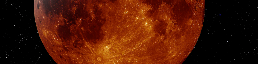
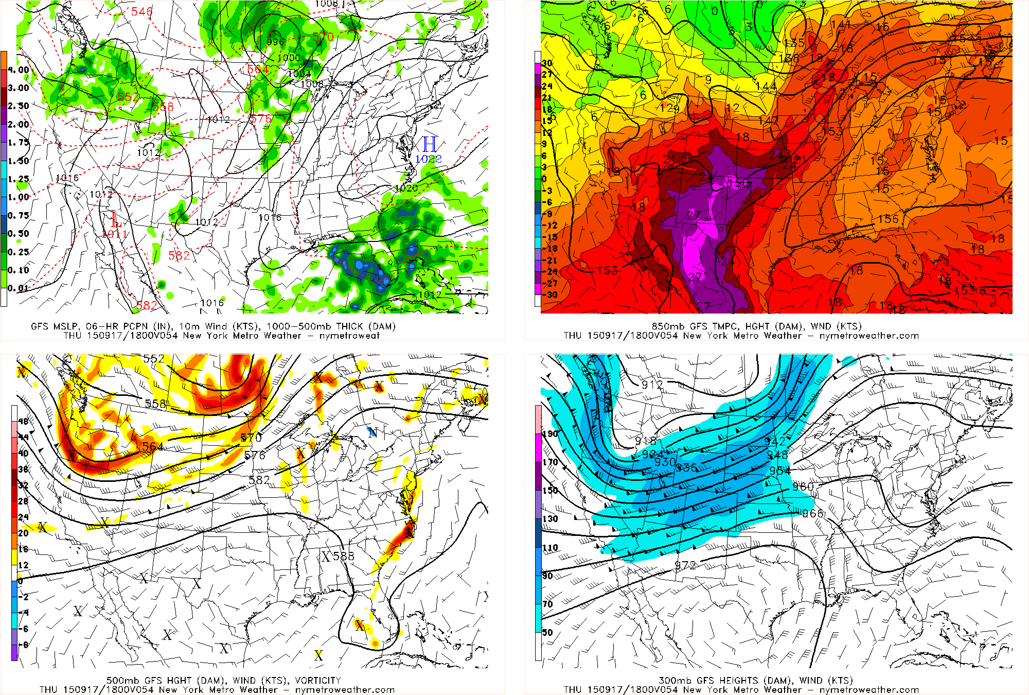
Then we watch and hope that a storm system developing on Sunday stays to our south and keeps clouds away for the upcoming Supermoon Eclipse.

Supermoon eclipse: What you need to know

A supermoon lunar eclipse. That’ll get most meteorology or astronomy hobbyists excited. In all seriousness, a lunar eclipse can be one of the more exciting celestial events. It has been a while since our area has had the pleasure of viewing one, so this Sunday’s lunar eclipse will come with open arms. Making the eclipse even better? The fact that it falls during a “supermoon”.

A supermoon is a full moon which occurs during the time period when the moon makes its closest approach to the Earth on its elliptical orbit. This results in the largest apparent size of the moon as seen from Earth, called “perigee”. The moon can appear up to 14x larger from the Earth during this time period.

Read more

Pleasant weather for the foreseeable future

This time of year, in this part of the country, it’s not often that we can write a headline like the one above. The current weather pattern, however, dictates otherwise — and that pattern looks to continue for at least the next several days. Incredibly pleasant, benign weather will continue through the remainder of this work week and into the weekend. Temperatures will slowly warm each day, but remain very comfortable. A light breeze will accompany mostly clear skies.

Only a weekend cold front looks to interrupt the forecast, but most models keep moisture limited and precipitation very spotty as a result. Temperatures will trend a bit cooler as it passes, but are expected to recover only a day or two after. This takes our forecast into early next week which, in terms of forecasting accurately, is an eternity.

The pattern is a result of a progressive trend — very little amplitude on either the West or East Coast of the United States. Most disturbances are still tracking well to our north over Central Canada, and dry calm air is settled from the Central through the Eastern United States. A strong disturbance will have to amplify to buck the this trend, and no forecast model indicates that occurring within a week’s time. It’s essentially a summer-like pattern with the jet stream very far north, but just with a bit of modification due to the time of year.

Read more