Public: Chilly & Breezy, but not Cold as the Calendar Turns to 2017

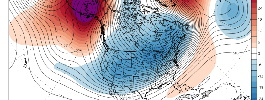
Happy New Year, everyone! The weather today is relatively pleasant with seasonable temperatures but a relatively stiff southerly wind at times. Wind gusts will continue to be around 30mph for most of the day. We have a decently potent shortwave to the north that is pumping up some southerly flow out ahead of it and is also streaming some high clouds into the region, but because of the previously chilly airmass from yesterday, our temperatures are still relatively cool today.

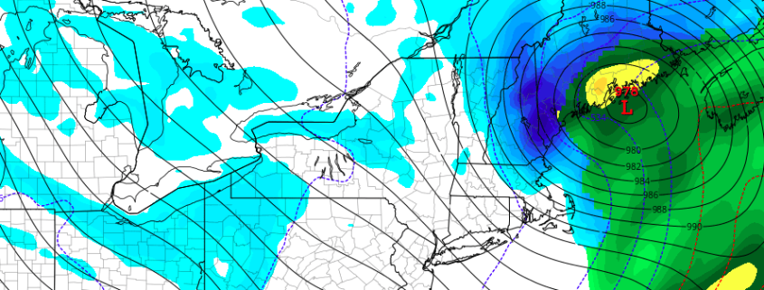
There is not a lot of moisture with this shortwave and it’s also missing us well to the northwest, which means there is not a lot of forcing or lift. However there may be just enough southerly flow to provide a tad bit of moisture later this evening and tonight. This, combined with the distant shortwave may be enough to provide a few scattered snow showers in the interior and some rain showers closer to and on the coast. These are not expected to be heavy at all for the aforementioned reasons and for the most part it should just be dry and mostly cloudy, but the potential for precipitation this evening into the early overnight is enough to be made aware.

Read more

Multiple Wave-Breaking Events Support an early January Snowstorm

While the coast is experiencing yet another rain event to end 2016, there are many changes currently ongoing to the pattern that could open the door for a widespread snow event in the beginning of 2017. How long the pattern change lasts for is a different discussion and will be talked about in our long range update tomorrow, but for now we will be focusing on the changes over the next week.

We first place our eyes on the Pacific. A couple of days ago, there was a strong Pacific Jet and the flow was somewhat zonal in the Pacific, and to some extent that is still currently true. But looking closely, there was an active wave train of ridges and troughs, despite the relatively flat flow. It wasn’t just one straight buzz-saw — there were ripples to this pattern that could easily lead to more amplification in a short period of time. While this isn’t the sole cause of the eventual wave-break, we have a cut-off low in the Southwest that retrogrades, and that began to slow the pattern down upstream in the Pacific. And when there are already ridges and troughs in-place, sometimes it just takes one slow-down to truly shake things up.

Read more

Introducing 33 and Rain: An interactive community

When our staff sat down to discuss the state of our company and the industry this past Autumn, there was one thing we all agreed was missing: There is no place on the internet for meteorologists, hobbyists, and students in the Northeast US to discuss the weather together in a controlled, fun, and interactive environment. We’ve partnered with some great friends, and worked with some wonderful colleagues, to bring you just that.

Today, we are introducing 33 and Rain, an interactive community where professionals, hobbyists, and students can discuss the weather in one place. With discussion forums, blogs, weather resources and more, the community we have developed will be a place for us all to learn, interact, adapt, and communicate.

Read more

Winter storm increasing likely in interior New England late week

Discussed at length yesterday was the potential for a notable winter weather event this weekend in New England, particularly interior locations, with the development of an impressive low pressure area in the Gulf of Maine. Forecast models over the past 12-24 hours have trended favorably for the development of this low pressure area, with a shrinking envelope of potential solutions on the table.

The most notable change has been a trend away from a progressive mid level atmospheric solution, which many forecast models had agreed was going to occur just a few days ago. Synoptically, this type of solution made sense — but a change in the pattern across the Pacific Ocean will lead to more amplification potential downstream over the United States. A more amplified disturbance driving into New England has led to the slower, stronger trends on forecast model guidance.

Read more