-2")
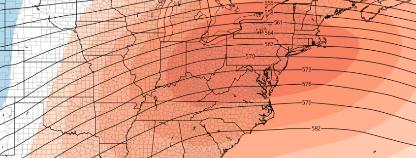
Southeast ridge will flex its muscles late month
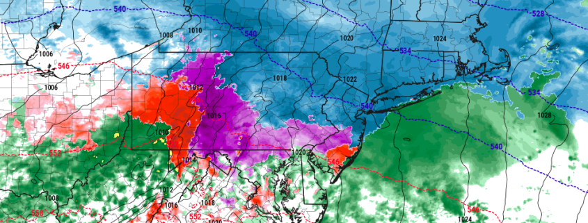
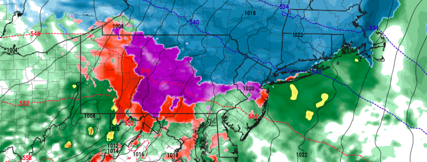
All things considered, after much conversation and discussion, meteorological winter came in cold and active during the month of December. Multiple shots of arctic air and several winter weather events, particularly in the interior, have given us a December much different than the past few years, when warm air dominated the Eastern United States’ weather pattern. That very same cold and active pattern looks likely to take a hiatus over the next few weeks.
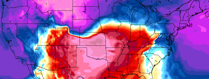
The hemispheric pattern is undergoing changes once again — this time, pulling back the reigns on an active, amplified pattern which saw polar air drop into New England last week. This time, the stratospheric polar vortex will tighten and strengthen near the North Pole, pulling back much of the arctic air and reforming the vortex near its usual whereabouts. For much of the Northeast US, this means that arctic air will gradually become less available over the next two weeks.