-2")
The Return of High Latitude Blocking and Coastal Storms…In May
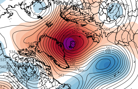
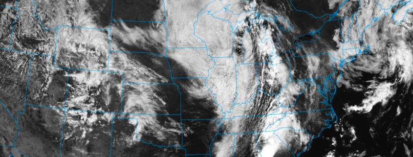
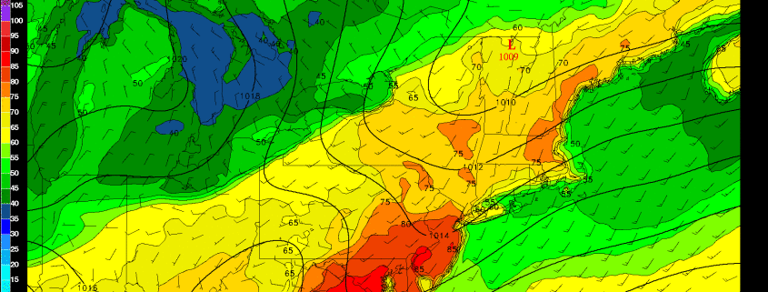
A big -NAO block in Greenland, a deep 50/50 low, a large +PNA ridge on the West Coast, a deep trough in the East going neutrally tilted in the Mississippi Valley, lots of precipitation streaming up the coast from the Gulf into the area as a deep area of low pressure slowly moves up the coast…
Did we just go back in time to winter? Are we getting another blizzard? Well, not exactly, but the above description certainly sounds like a classic winter storm evolution for the Northeast. And perhaps if this storm were occurring a few months earlier, it would be a major winter storm. But alas, we are moving into May, and the above evolution may lead to a major rain event late next week.
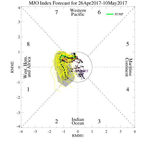
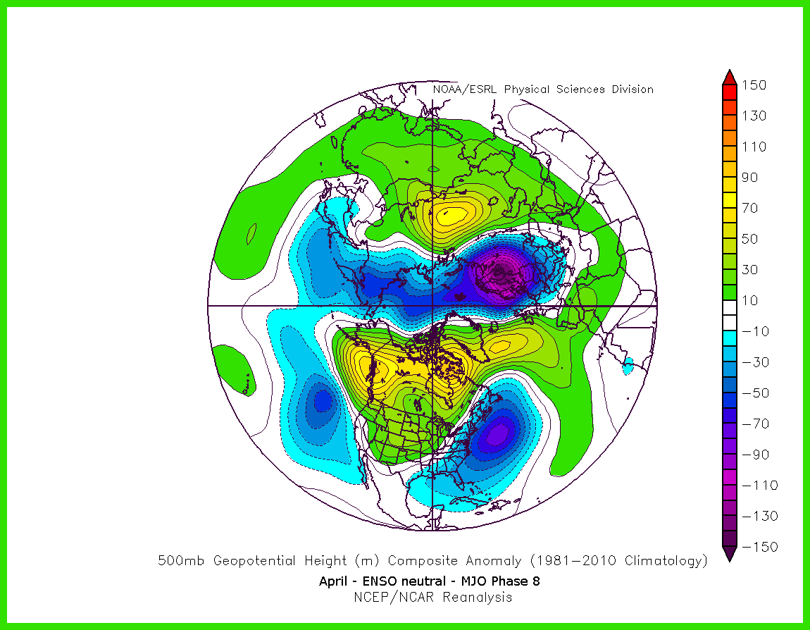
The evolution towards a big blocking pattern is already taking place as the MJO moves towards phase 8. Of course, sometimes oscillations in spring do not have the same correlations as they do during the winter, but the MJO phase 8 in April in an ENSO neutral regime still correlates to a lot of high-latitude blocking.