Monitoring light snow chances into the weekend

Good evening! 

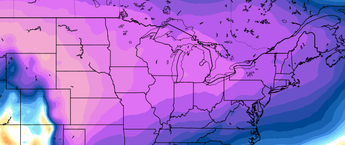
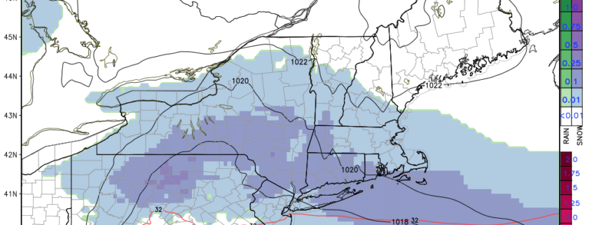
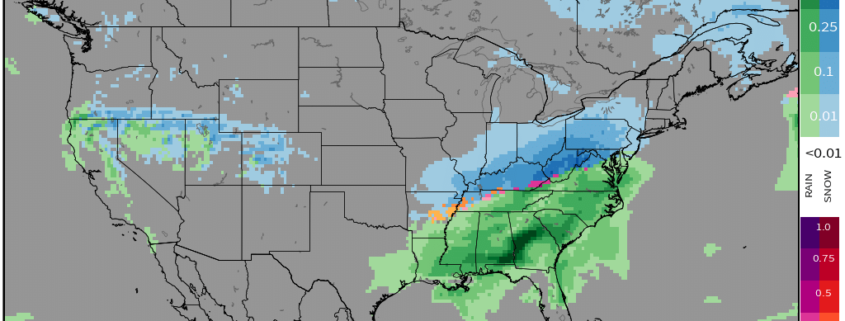
The area of light snow that we have been monitoring for the past couple of days continues to move well to the north of the NYC area this evening. A couple more snow threats will approach the area over the next few days as below normal temperatures take over for the beginning of March.

Read more

Snow likely in New England on Wednesday

Cold air has returned to the Northeast today, with still-blustery-but-not-end-of-times-blustery winds and very cold temperatures this morning. The good news? It’s clear and calm, and high pressure over the Eastern United States will continue to keep things that way through the remainder of the day. This will begin to substantially weaken the pressure gradient over the area (that was the cause of yesterdays strong winds), with gusts dropping down into the 20-25 mph range by the afternoon hours. Conditions will remain rather cold and dry as deep northwesterly flow remains entrenched in over the Northeast.

Read more

Winds gradually subsiding, light snow possible by Wednesday

Good evening!

Strong, gusty winds have continued throughout the  majority of today as an area of low pressure off to our northeast continues to intensify. Thankfully, this looks to change as more cold and relatively calm conditions settle in before we have to worry about some light snow threats later this week.

Read more

System to our west brings heavy rains and strong winds, cold returns next week

Good evening and happy Friday!

Today has been a cool and calm day across much of the Mid-Atlantic, but this break will be short-lived as another system is poised to bring heavy rains and strong winds to our area over the next 72 hours! High pressure will usher in another round of cold next week, with mainly calm conditions expected throughout the week.

Read more