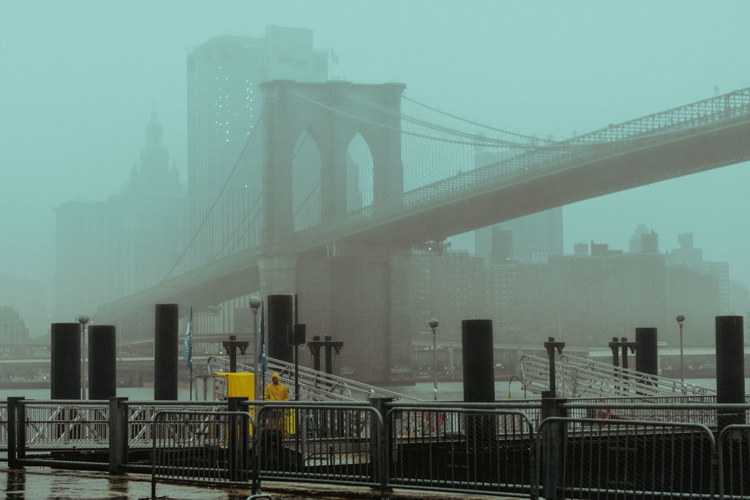
Heat wave expected in NYC later this week

A ridge of high pressure will bring warmer temperatures into the Northeast US later this week. For the first time this summer, a heat wave is expected in NYC – defined by three straight days of high temperatures over 90° F.

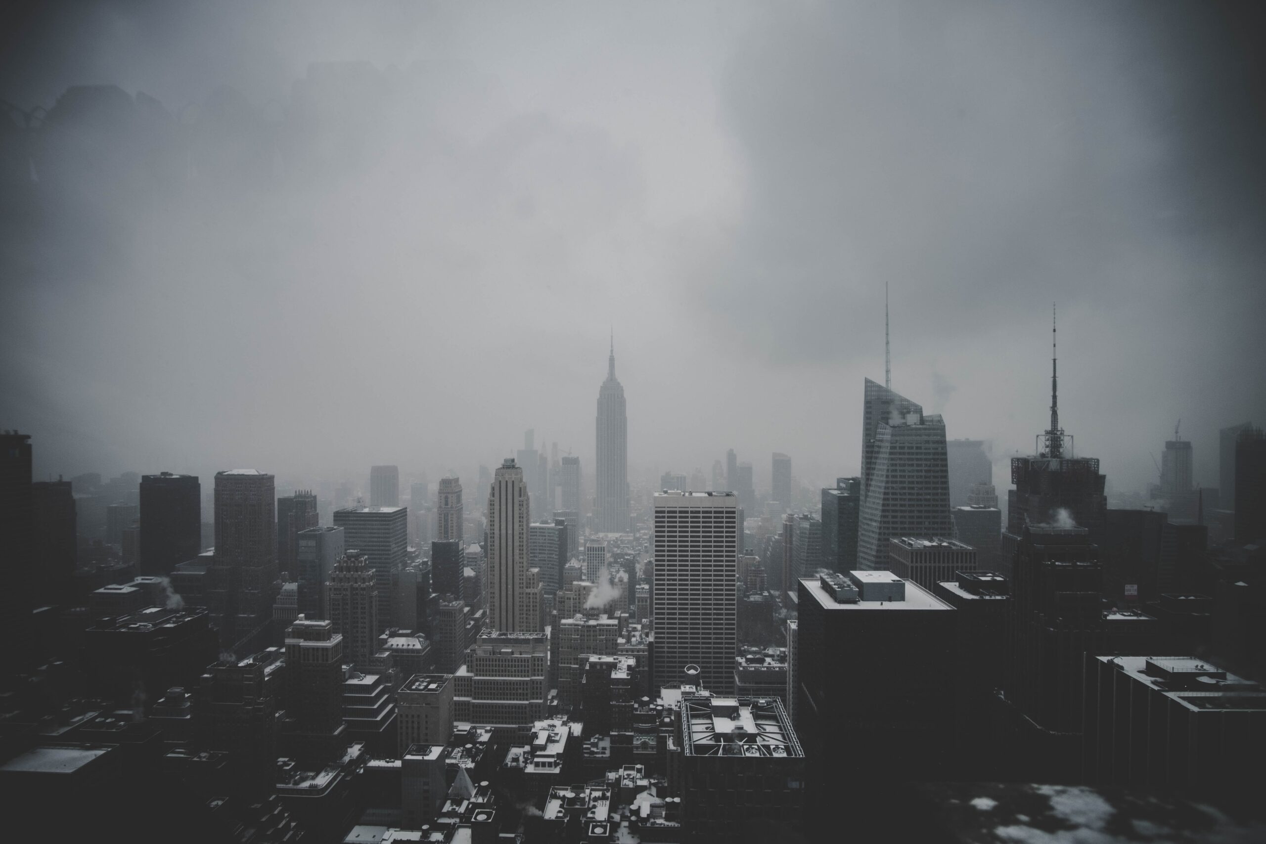
The summer of 2023 has largely been defined by unsettled weather and humidity in the NYC Metro area. It has been uncomfortable for long stretches and there have been several days with unusually high humidity. Rainfall has also averaged above normal, especially in the interior and suburbs.

Read more

Rainy, unsettled weather continues in NYC this weekend

Spring has sprung, or at least it technically has on the calendar. The weather has not cooperated recently. After a stretch of beautiful days with high temperatures in the 80s just a few weeks ago, the Northeast has been stuck in the proverbial mud. Cooler than normal temperatures with rainy and dreary conditions have been a mainstay in the forecast over the past two weeks.

This weekend will offer yet another unsettled weather pattern with a deep low pressure system expected to form in the Northeast states. The forecast is complex, with multiple rounds of rain expected throughout the area. Here’s the breakdown of what to expect, day-by-day.

Read more

Prolonged stretch of warm and dry weather expected in NYC

Spring has been doing its thing so far this year, with the classic fluctuations in temperature and plenty of precipitation over the past few weeks in NYC. The weather pattern will finally begin to change as we move through the weekend, with mid level ridging and high pressure building over the area.

Read more

Major nor’easter forms Monday with rain, wind and even snow possible in NYC

A major nor’easter will develop on Monday, shifting from the Mid Atlantic states towards New England. Periods of heavy rain will occur in New York City starting Monday afternoon and continuing through Tuesday morning, with localized flooding and gusty winds. A changeover to snow is *possible* on Tuesday, but the details on the changeover remain highly sensitive to the storms track and intensity.

Read more