(Premium) Weekly outlook and hazards information

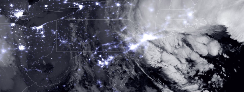
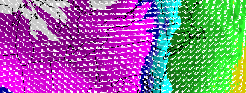
A powerful coastal storm will shift east/northeast this afternoon, toward the Northwestern Atlantic Ocean, with lingering impacts expected in our area. This will be especially true for coastal sections of Eastern Long Island, where bands of snow may linger until the evening hours of Monday as the coastal low pulls away. Elsewhere, relatively benign weather will take over with gusty winds in the wake of the storm system — but no further accumulating snow.

Despite the departing storm, there are several other weather events to speak about during the upcoming work week. They begin with a weak coastal storm from Tuesday into Wednesday, and end with bitter cold and a possible coastal storm threat this weekend.

Read more

January 2016 Blizzard draws parallels to famous ’96 storm

We’ve all heard it before: “There will never be another storm like the Blizzard of ’96”.

And then there was.

This past weekends blizzard will be remembered for many things. 30 inches of snow at Kennedy Airport, drifts above windows and along sides of homes, strong wind gusts and damaging coastal flooding (yes, Gov. Christie). Meteorologically, however, it will stand as a testament to the fact that analogs, no matter how wild they may seem, can be a tremendously useful tool in forecasting.

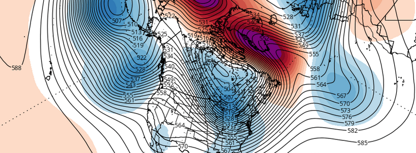
During the medium range period on forecast models, specifically between days 3 and 5, analog tools and algorithms were continuously signaling the Blizzard of 1996 (January 6-8, 1996) as a tremendously high percentage analog. The evolution of the storm system at multiple levels of the atmosphere was comparable to what forecast models were indicating. And as it turned out, the Blizzard of 2016 would have a very similar evolution and outcome to the famed ’96 Blizzard.

Read more

Rain and wind likely Sunday, winter arrives next week

High pressure over Eastern Quebec will cause cold air damming over the region tonight, with cold air funneling toward our area. A mid level shortwave and weak warm front are on their way by Saturday morning, however, with the first light round of precipitation ahead of a significant storm system.  As this disturbance approaches our area, some very light snow, sleet, and freezing rain is expected across the interior and higher elevations. Temperatures there will be hovering below or near freezing — causing the potential for slick roads.

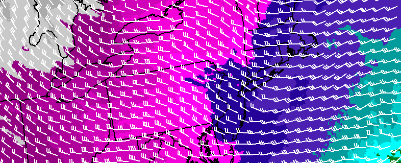
A deepening storm tracking over the Eastern Great Lakes will send a stronger warm front — and then  a cold front — through the region late Saturday night and Sunday. Lifting will be aided by a strengthening southeasterly low-level jet and precipitable water values between 1.00 to 1.50″.  This will cause periods of rain starting late Saturday night, becoming heavy at times during Sunday morning and early afternoon.  An isolated thunderstorm can’t be ruled with elevated instability.

Read more

Colder air is on the way, but how about the snow?

Winter has finally arrived. Despite potentially record breaking warmth for one day this weekend (Sunday), and the return of rain this weekend as well, we will continue to transition into a colder pattern with an arctic frontal passage on Monday. The atmospheric global circulation pattern is trending much more favorably for winter weather lovers — with teleconnections favoring cold being dislodged into the Northern 1/3 of the United States. With high latitude blocking also in the forecast on all medium range models — the question now becomes: What about the snow?

Read more