-2")
Wintry mix in the interior, heavy rain and wind this weekend
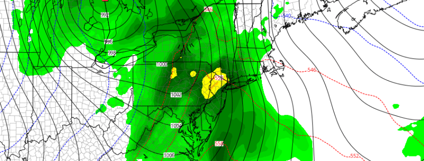
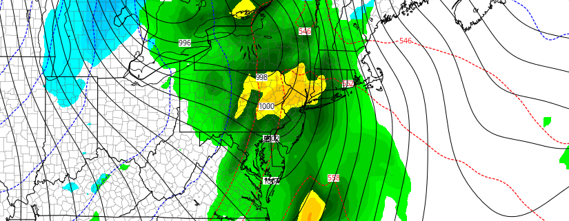
The coldest airmass of the young winter season is on its way out of the area today, as temperatures moderate above average into middle and upper 40s for today and Friday. A large high pressure area centered over Quebec will remain in control of our weather for now. Things will start to trend downhill by Friday Night and Saturday with the threat of light wintry precipitation across the interior and higher elevations. Thereafter, a much larger and more intense storm system will impact the area from late Saturday night into Sunday.
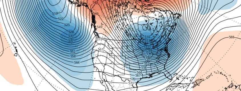
Before that storm, a 500mb shortwave and a weak warm front from area of low pressure over Great Lakes will approach southwest on Friday night and Saturday. Significant precipitation is not likely in this region with this system — but there could be enough lift and moisture with these features to produce some light and intermittent precipitation. At the same time, the high pressure will be slow to lose control and could cause some cold air damming near the surface. Another low will also begin organizing over the Central Plains.