-2")
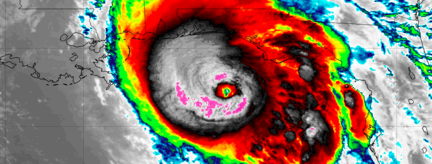
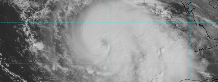
NYC Area Forecast: Impacts from Michael today with rain, storms
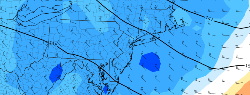
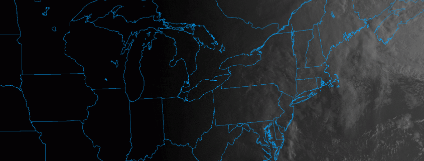
Moisture from the remnants of Hurricane Michael will stream northward over the next several hours, and its interaction with a frontal boundary in the Northeast will prove sufficient to develop numerous showers and thunderstorms. A warm front will lift northward through the Mid-Atlantic later this morning, providing the first impetus for shower and thunderstorm development. Some of this rain is expected to be “torrential” in nature – heavy and sporadic, but many cause localized flooding.
Tropical moisture is responsible for a large majority of our heavy rain threats around the Mid-Atlantic and Northeast this time of year, and when it interacts with a frontal boundary, it can often mean trouble. While this threat remains progressive (i.e, it will be out of here by Friday) it is still noteworthy. After the warm front lifts northward later today, instability is expected to build across the Mid-Atlantic, New Jersey and the NYC Metro Area.