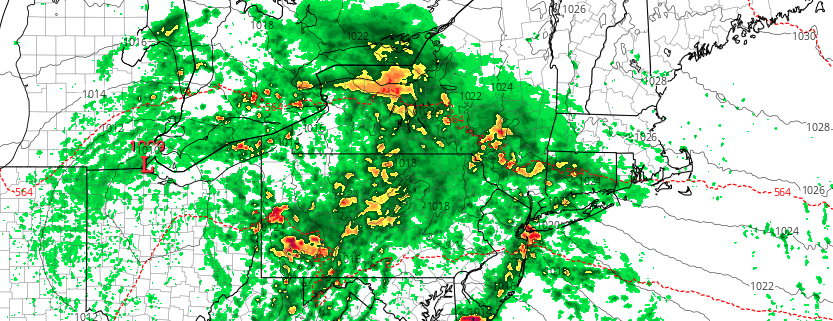
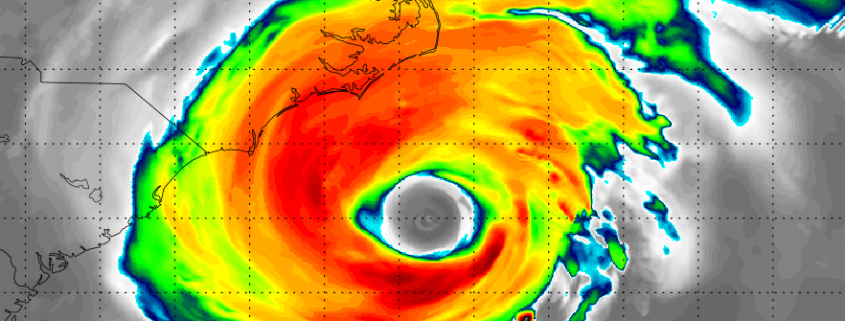
Florence rapidly intensifying, expected to approach Carolinas this week

12:30pm Update: Florence has strengthened into a powerful Category 4 hurricane with maximum sustained winds of 130mph. Additional rapid intensification is expected today, as the upper-level atmospheric environment becomes more favorable over the system. Shear, which has inhibited the systems development thus far, will be greatly reduced, allowing for improved upper-level outflow ventilation as the storm moves over warmer waters.

Read more

NYC Area Weekly Planner: Heavy Rain & Flooding Concerns to Start the Week

Good morning and Happy Monday! It’s a rough one out there this morning. Showers continue throughout the Northeast and Mid Atlantic, with temperatures in the 50’s and a very damp airmass in place. This weather is generally expected to persist today, but it will be particularly cool this morning. Bring a jacket and an umbrella along with you.

Read more

Live Blog: Hurricane Florence set to rapidly strenghten

Over the next 24-48 hours, this page will be continually updated with information on Hurricane Florence. The live blog below serves as a constant feed of information. Check back here for the very latest details as the storm strengthens.

Read more

Florence set to rapidly strengthen, likely to impact East Coast

Tropical Storm Florence is getting ready to put on a show. The storm has been floundering for a few days now, battling moderate wind shear and less than ideal water temperatures. It has maintained Tropical Storm status, but has weakened quite a bit with structural deficiencies very apparent on visible satellite imagery as recently as last night. Things have changed quite a bit so far today, with the storm regaining structure and beginning to intensify.

Forecast models are in good agreement that the storm will begin to intensify later today and Sunday, as wind shear weakens and it begins to traverse increasingly warm water. The situation becomes more precarious in the next few days, as the environment around Florence becomes conducive for rapid strengthening. Forecast models suggest the system will restrengthen into a Major Hurricane as it accelerates westward, on a track perilously close to the United States. The NHC is forecasting rapid intensification.

Read more